

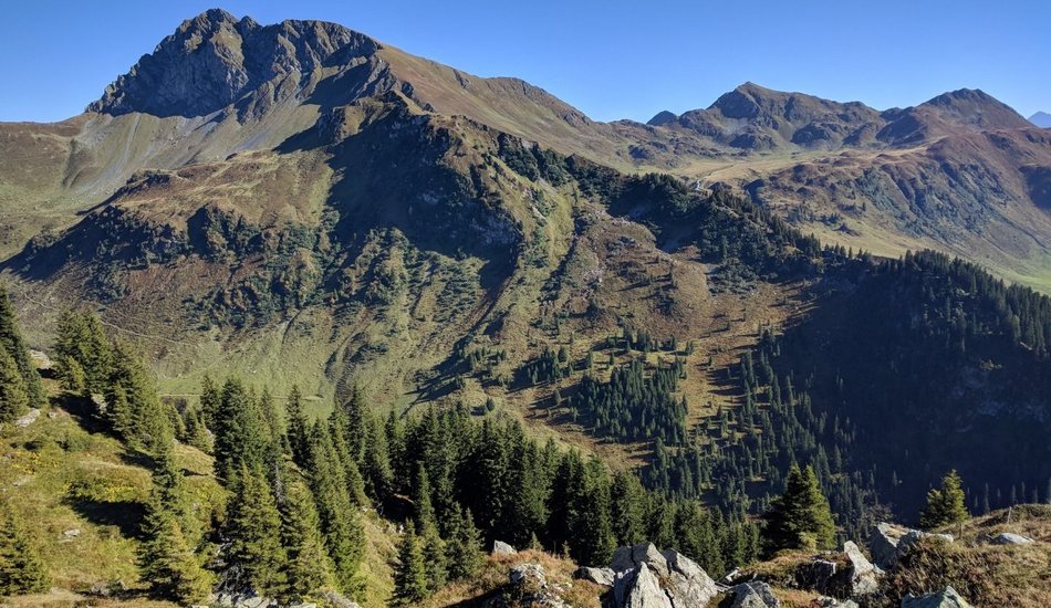
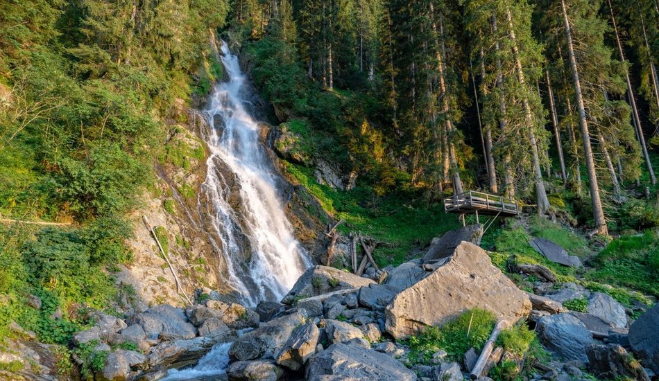
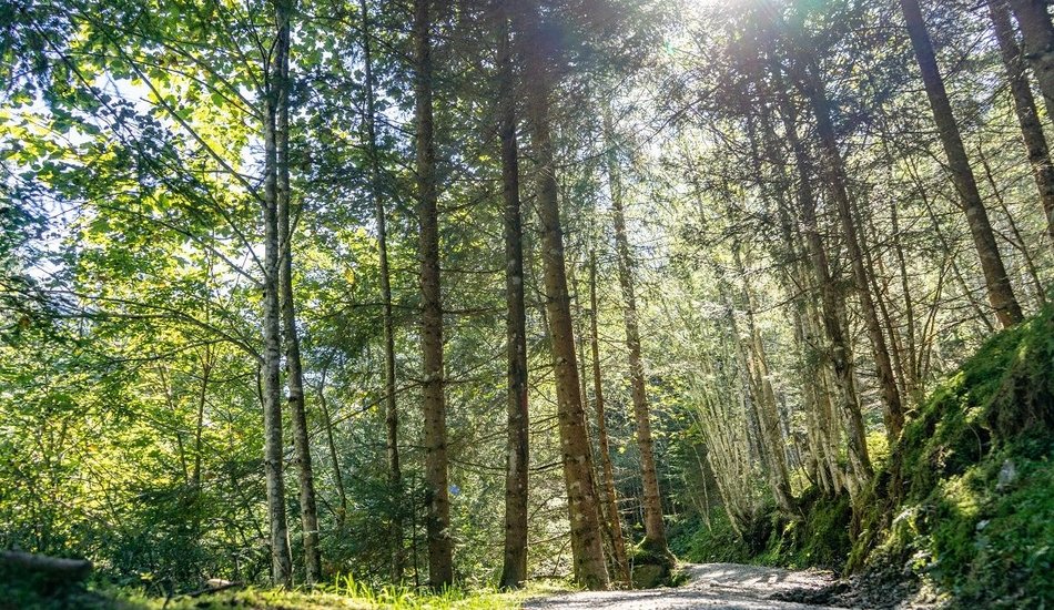
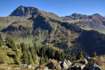
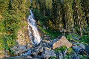
This hike up the highest grass mountain in Europe, the Geißstein (2,363m), starts at Schradler car park. The route leads uphill along the Triebweg to the Sintersbach high alpine valley and the Sintersbach Grundalm and Hochalm mountain huts, where over 100 Haflinger horses spend their summer months. The trail continues from there, past the Sintersbachscharte to the Tyrolean provincial border. The last 330 vertical metres require surefootedness and a good head for heights. The route back down follows the east ridge towards Schlaberstall (warning: challenging terrain, danger of falling). Finally, the trail leads through the Schusterscharte to the Hochtor, past Mittagskogel and the lake Torsee towards the Wildalm mountain hut. From there, the route continues towards Hanslern/Jochberg and back to the starting point.
Geissstein
... |
Hiking tour
Description
The highest grass mountain in Europe
Route:
Parkplatz Schradler, Sintersbacher Grund- und Hochalm, Sintersbachscharte, Schlaberstatt, Schusterscharte, Hochtor, Richtung Wildalm, Richtung Hanslern, Parkplatz Schradler
equipment:
ankle-high, sturdy shoes, functional clothing suitable for mountaineering, rain protection, sun protection, plenty of drinks, comfortable rucksack, hiking poles, snacks

Events
Loading...
Up to date
Loading...
Loading...
Loading...
Accommodation
Loading...