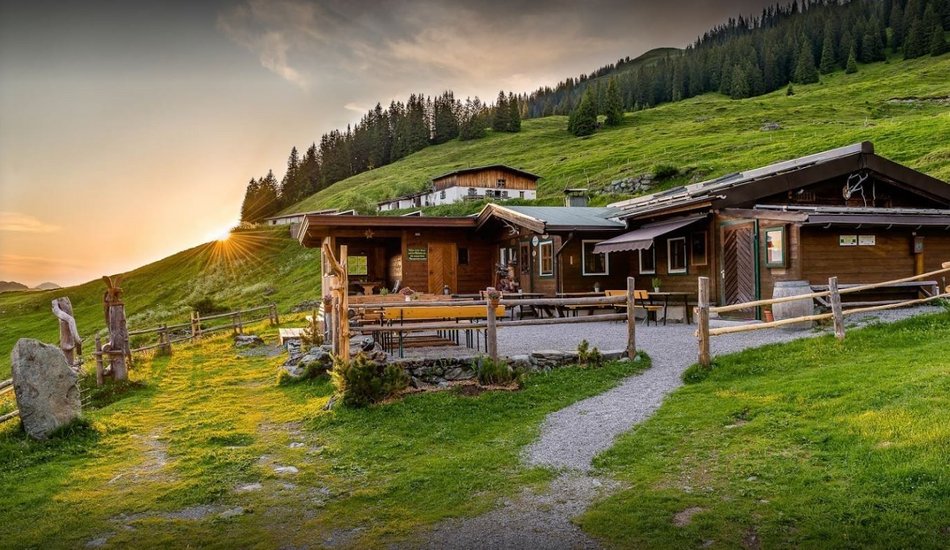
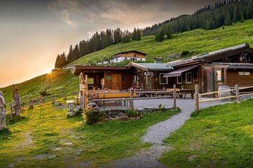
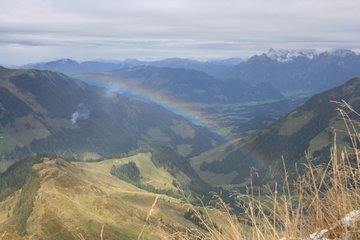
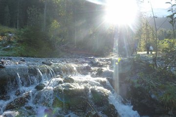
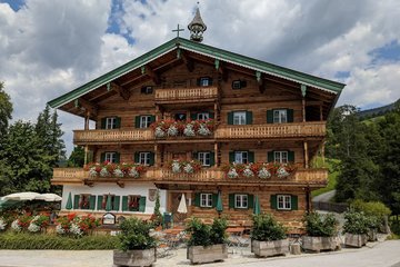
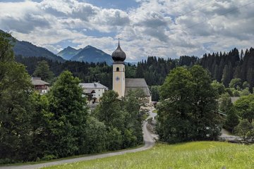
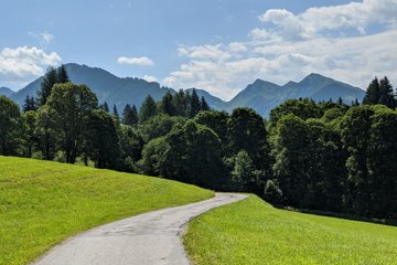
Hochwildalm
Hiking tour |
...


Description
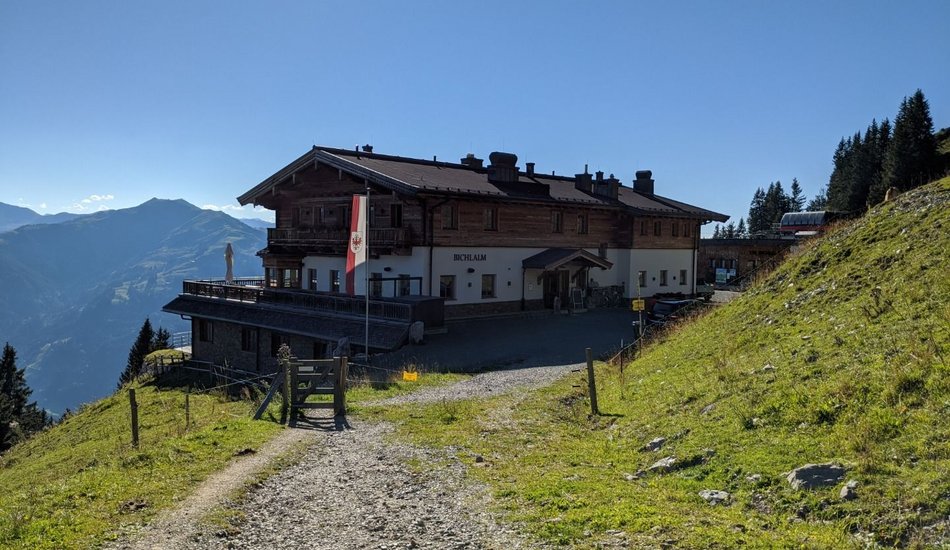
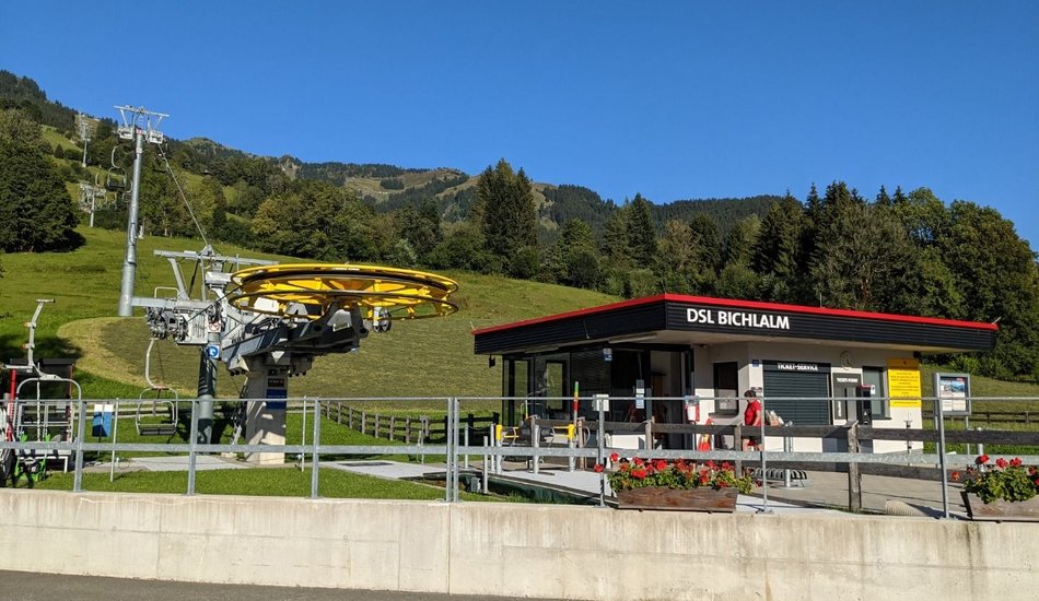
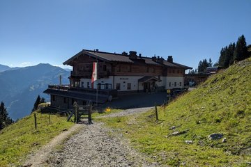
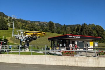
Bichlalmlift top station - Gebrajoch-Gaisbergsattl-Gebrajoch-Auracher Hochwildalm-Wildalm-Oberaurach Wildpark-Hallerwirt-Bichlalmlift valley station
Route:
Bichlalmlift Bergstation-Richtung Gebrajoch-Gaisbergsattl-Gebrajoch-Auracher Hochwildalm-Wildalm-Oberaurach Wildpark-Hallerwirt-Bichlalmlift Talstation
equipment:
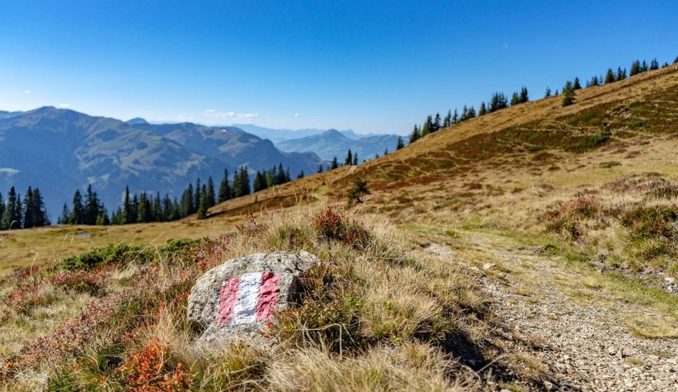
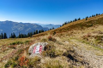
Sturdy, ankle-high footwear, functional mountain clothing, waterproofs, sun protection, plenty to drink, a comfortable rucksack, hiking poles, snacks

Events
Loading...
Up to date
Loading...
Loading...
Loading...
Accommodation
Loading...