

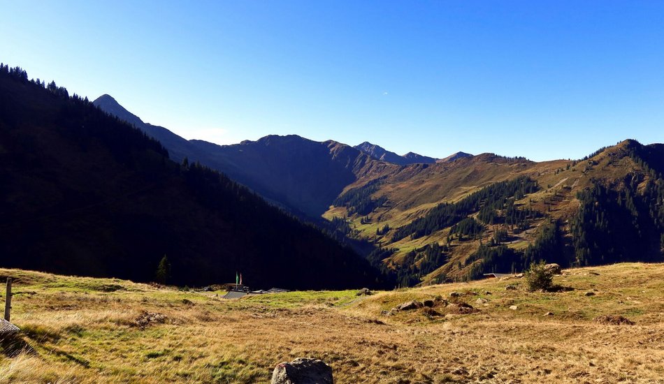
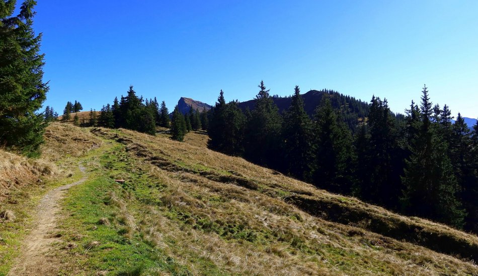
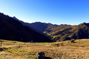
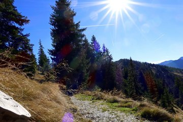
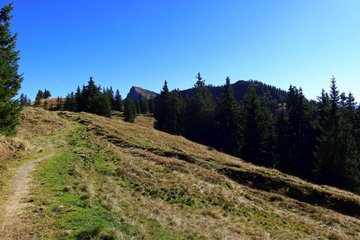
Take advantage of the excellent KitzSki infrastructure by riding the Bichlalm lift to the Bichlalm hut. From here, you are directly in the Kitzbühel trail paradise. Head south on flowy trails towards Hochwildalm and Gaisberg, enjoying stunning valley views and, further south, the Hohe Tauern. Occasionally, you'll also glimpse the Leoganger and Lofer Steinberge to the north.
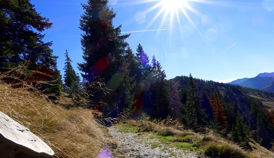
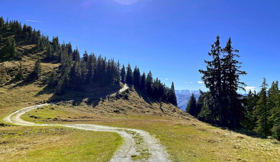
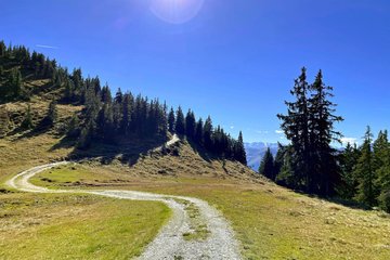
Follow the signs towards Hochwildalm. Before reaching Gebrajoch, veer slightly right towards the valley. Briefly traverse a forest road, then return to a beautiful woodland trail leading to Hochwildalm, a perfect spot for a rest. Continue from the Alm towards Oberaurach, passing through the wildlife park. From Aurach village center, ascend briefly and then alternate between trails and asphalt, returning to the Bichlalm lift valley station.
