 Kitzbühel Tourismus")

Hochwildalm
Hike
· Hiking & mountain tour
· ...
Medium
·


Hochwildalm
Hike
· Hiking & mountain tour
· ...
Medium
·
5:30 h
16.30 km
310 m
1000 m
Tour Details
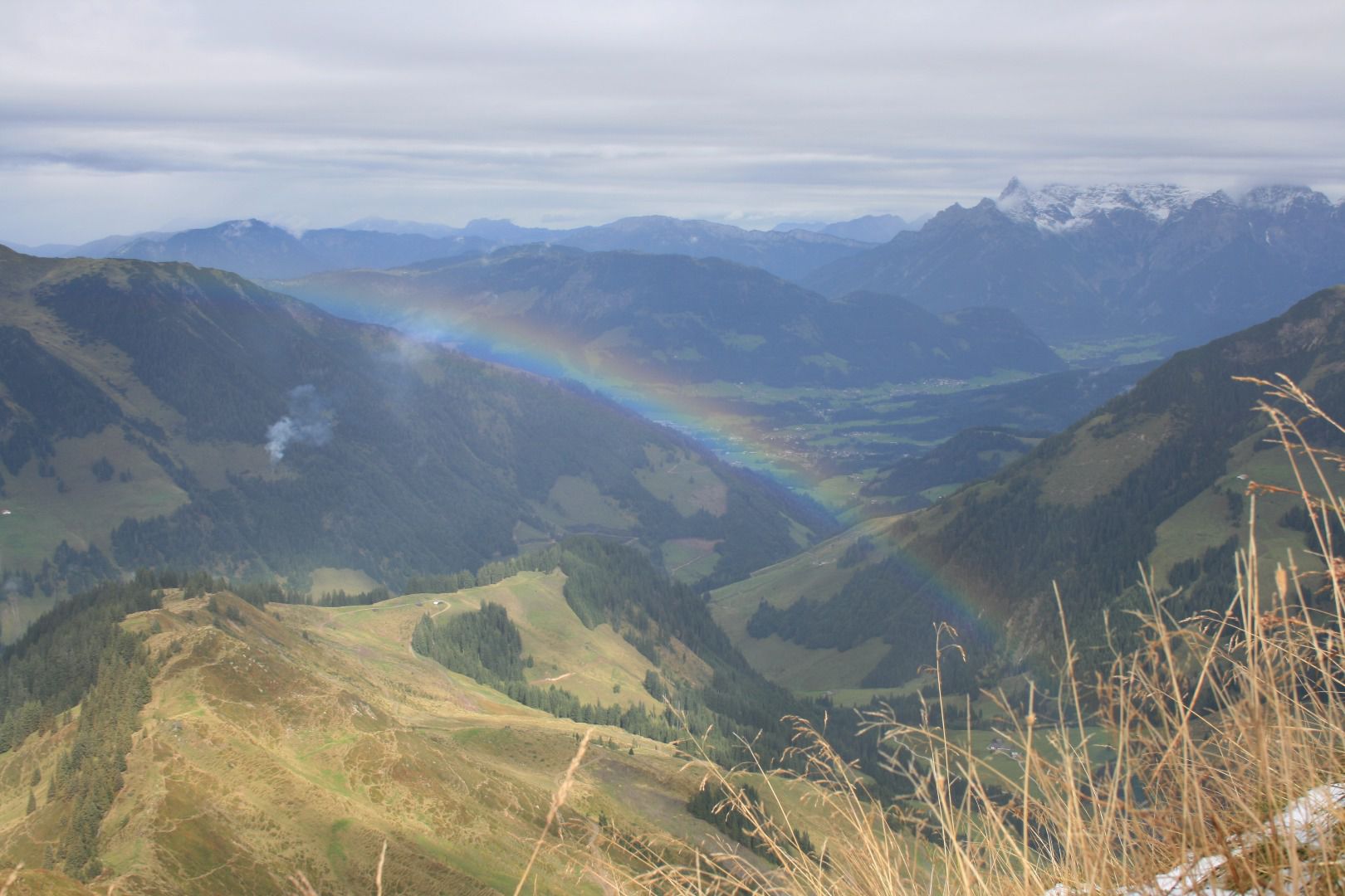
Highest point
1780
m
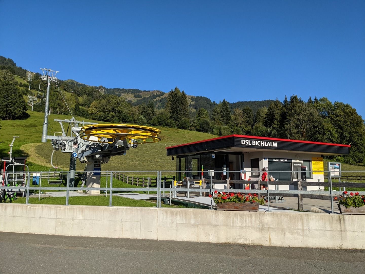
Starting point
Bichlalmlift top station
Endpoint
Bichlalmlift valley station
Description
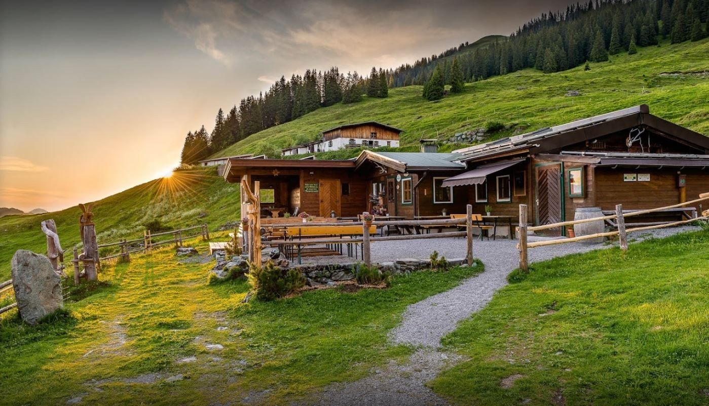
Bichlalmlift top station - Gebrajoch-Gaisbergsattl-Gebrajoch-Auracher Hochwildalm-Wildalm-Oberaurach Wildpark-Hallerwirt-Bichlalmlift valley station
Facts
Round trip:
Route
Bichlalmlift Bergstation-Richtung Gebrajoch-Gaisbergsattl-Gebrajoch-Auracher Hochwildalm-Wildalm-Oberaurach Wildpark-Hallerwirt-Bichlalmlift Talstation
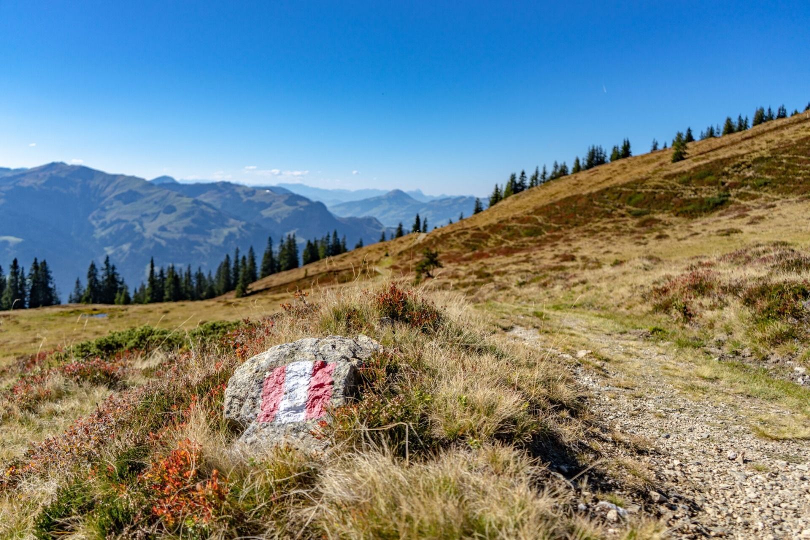
Road quality
Tarmac road, gravel path
equipment
Sturdy, ankle-high footwear, functional mountain clothing, waterproofs, sun protection, plenty to drink, a comfortable rucksack, hiking poles, snacks
Arrival information by car
nächste Bushaltestelle: Kitzbühel Bichlalm
Weather forecast
Today
Today
10°
/ 5°
Fair in the early morning, later variable with frequent showers.
Tomorrow
Tomorrow
12°
/ 4°
The day starts sunny, but will be partly cloudy in the afternoon.


