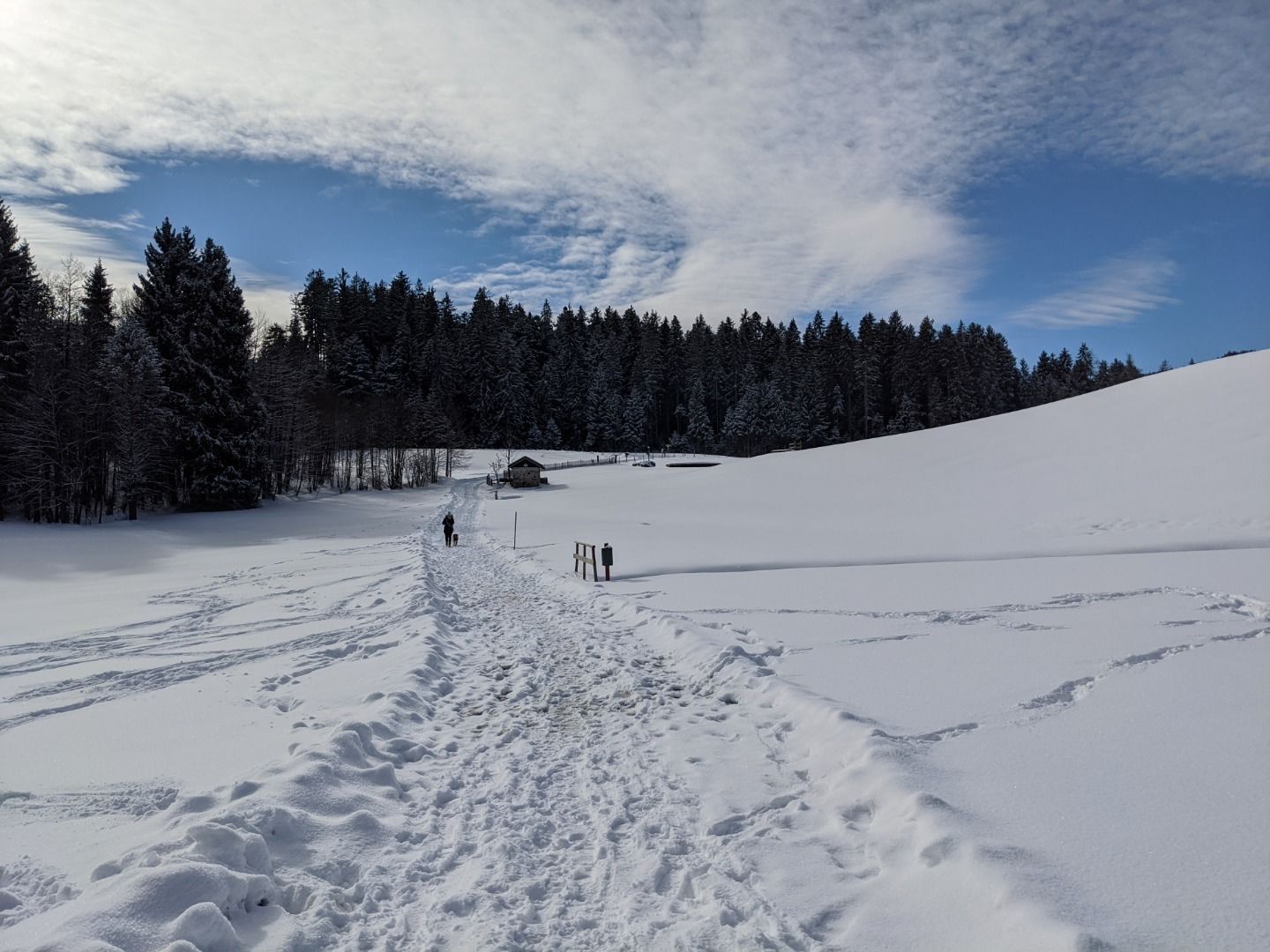
Hörpfing
Hike
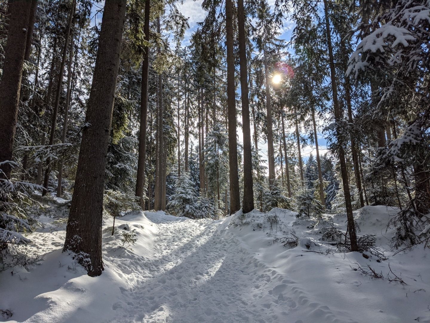
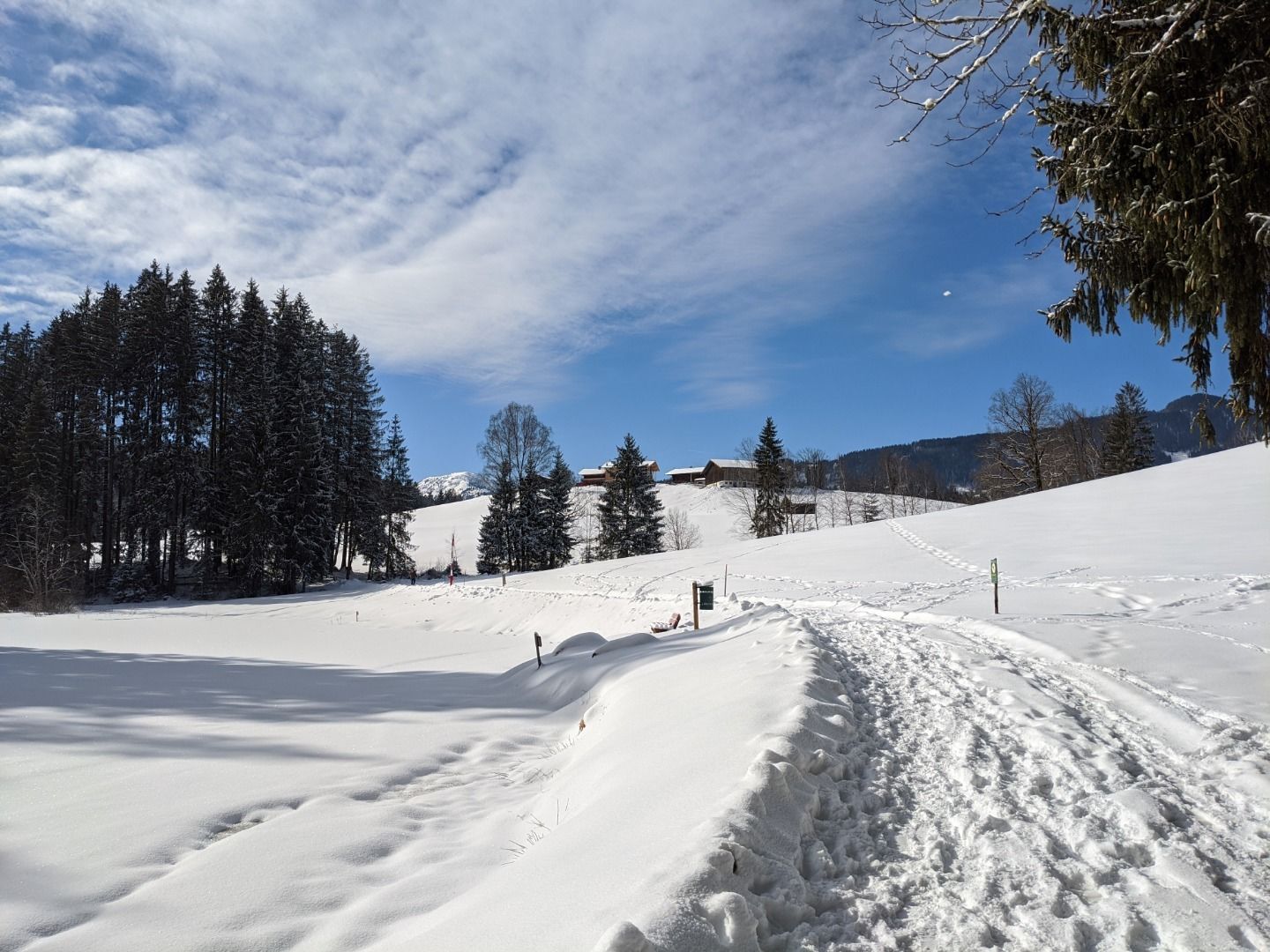
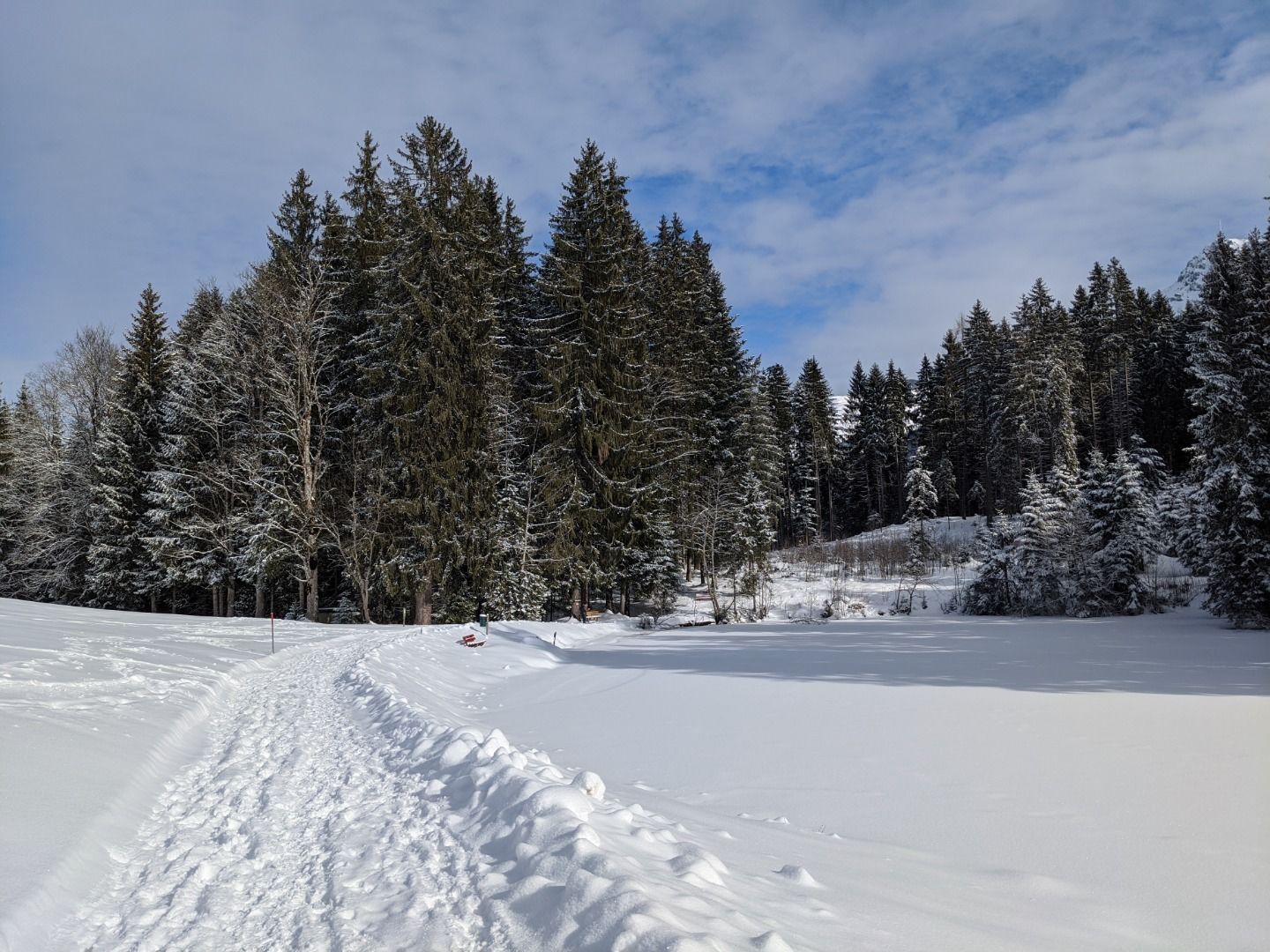
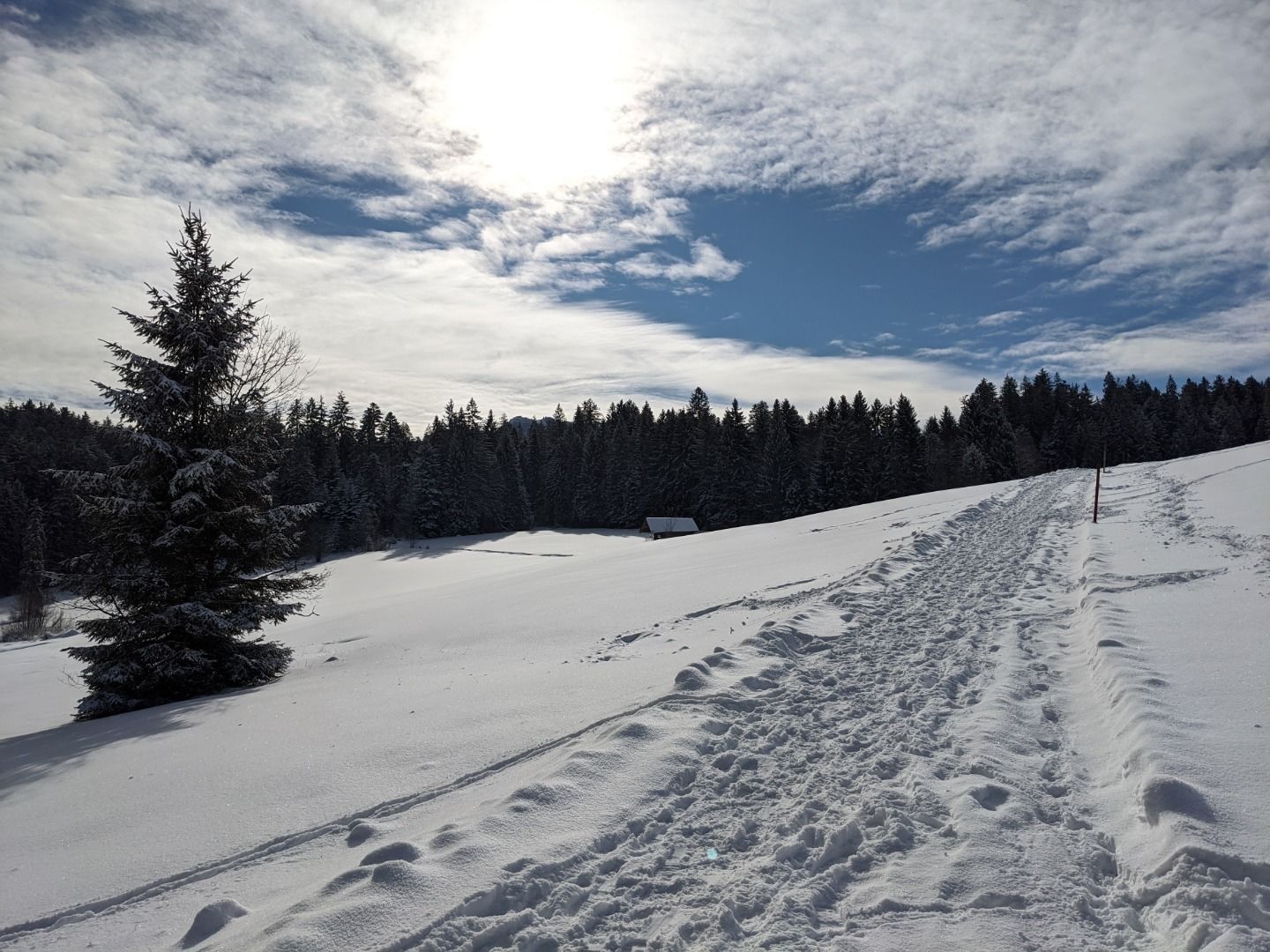
· Winter walking
Medium
·
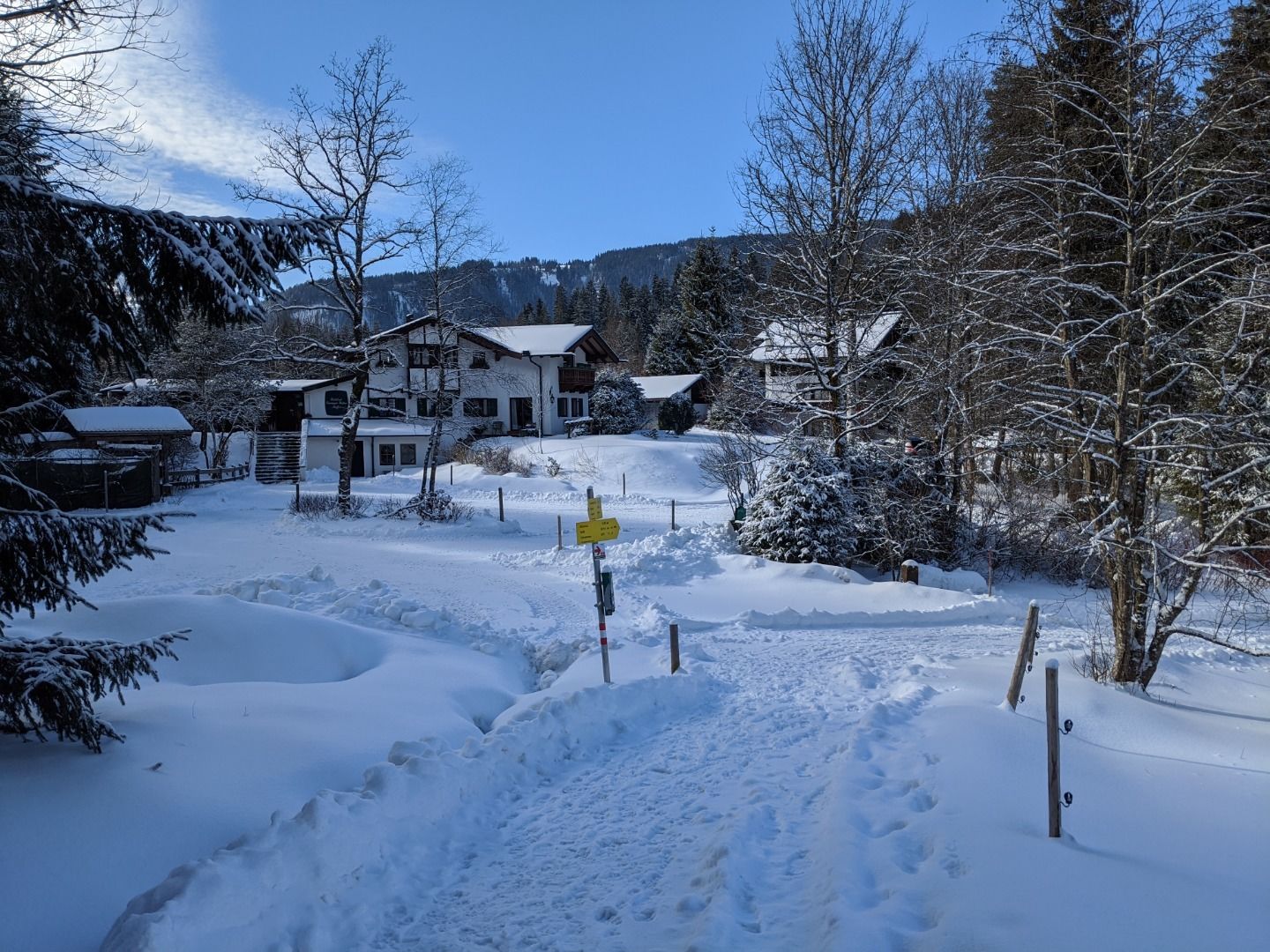
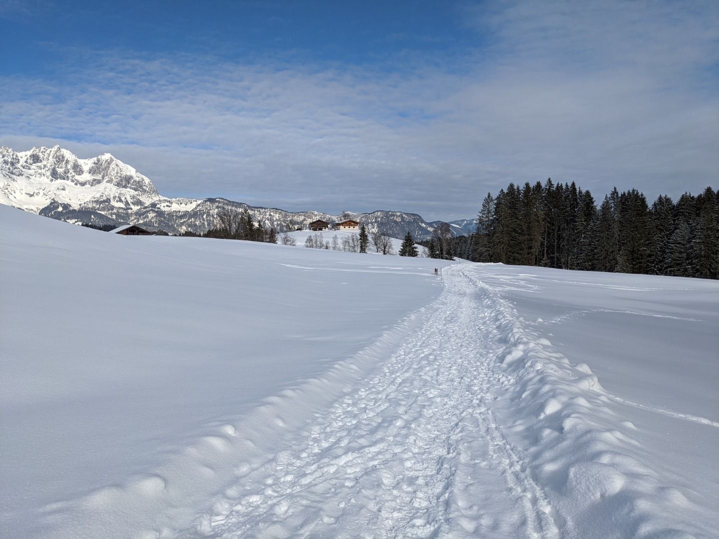
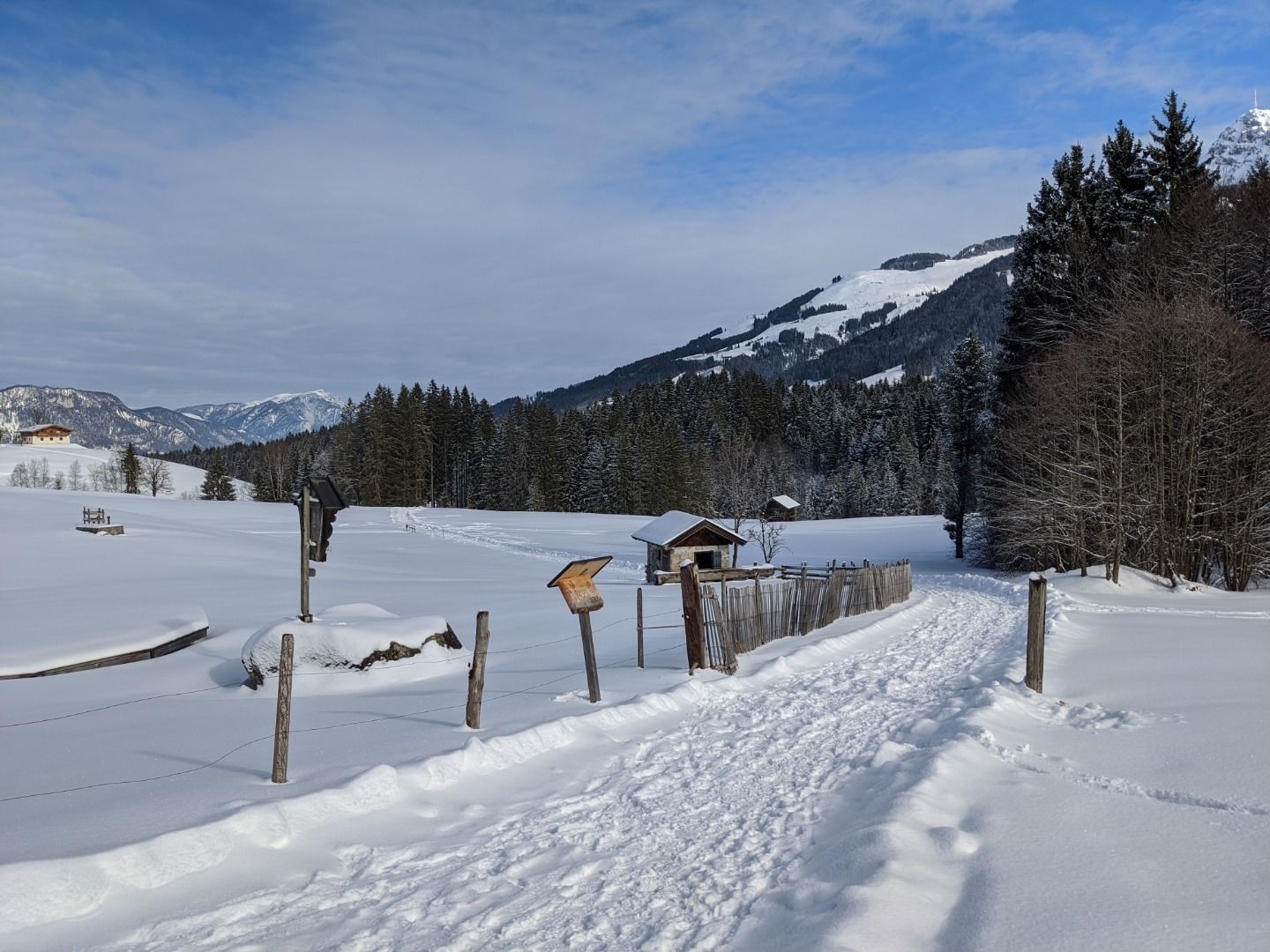
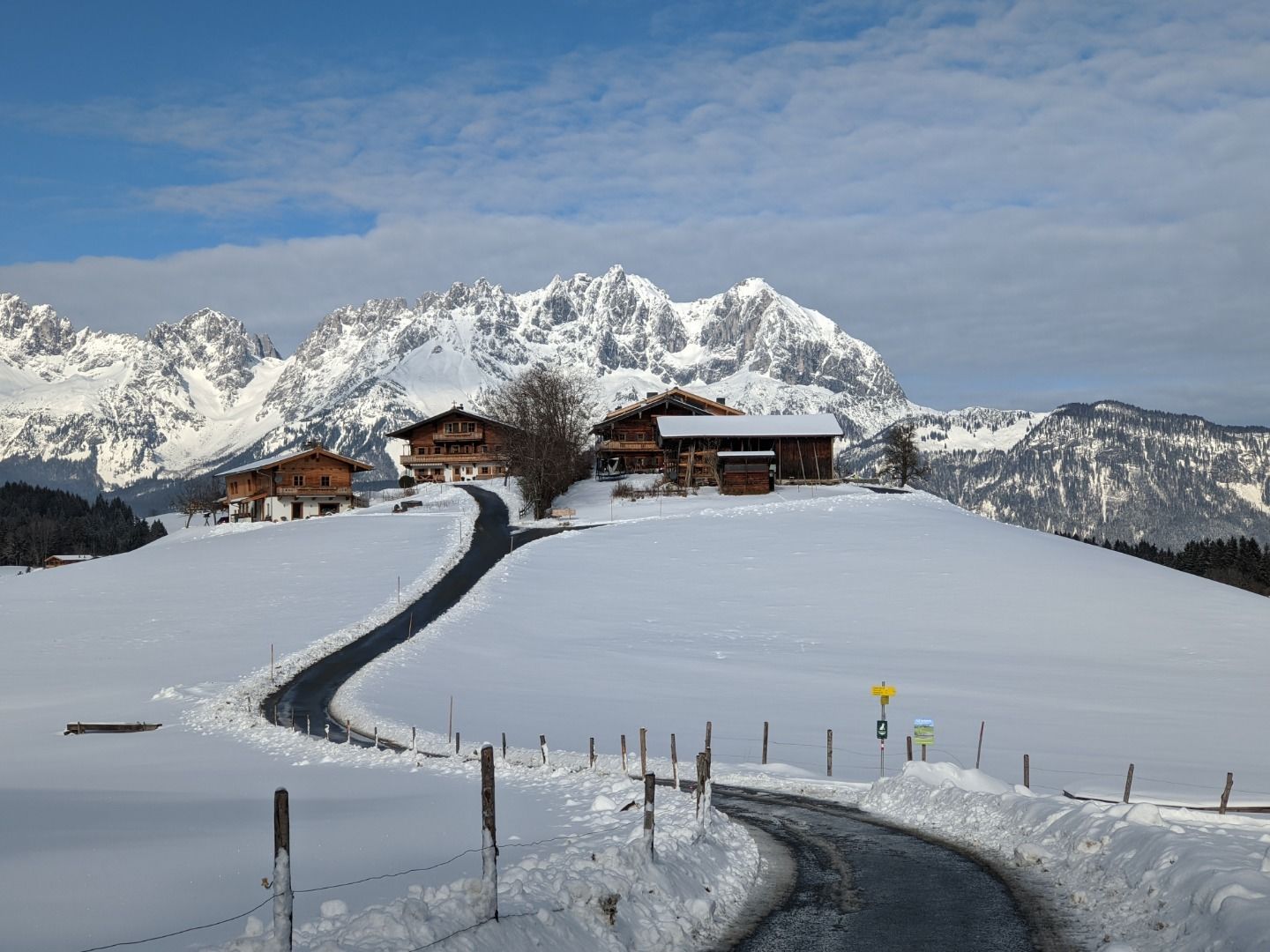
Hörpfing
Hike
· Winter walking
Medium
·
3:30 h
10.00 km
237 m
Tour Details
Highest point
813
m
Starting point
Gemeindeamt Reith
Endpoint
Gemeindeamt Reith
Description
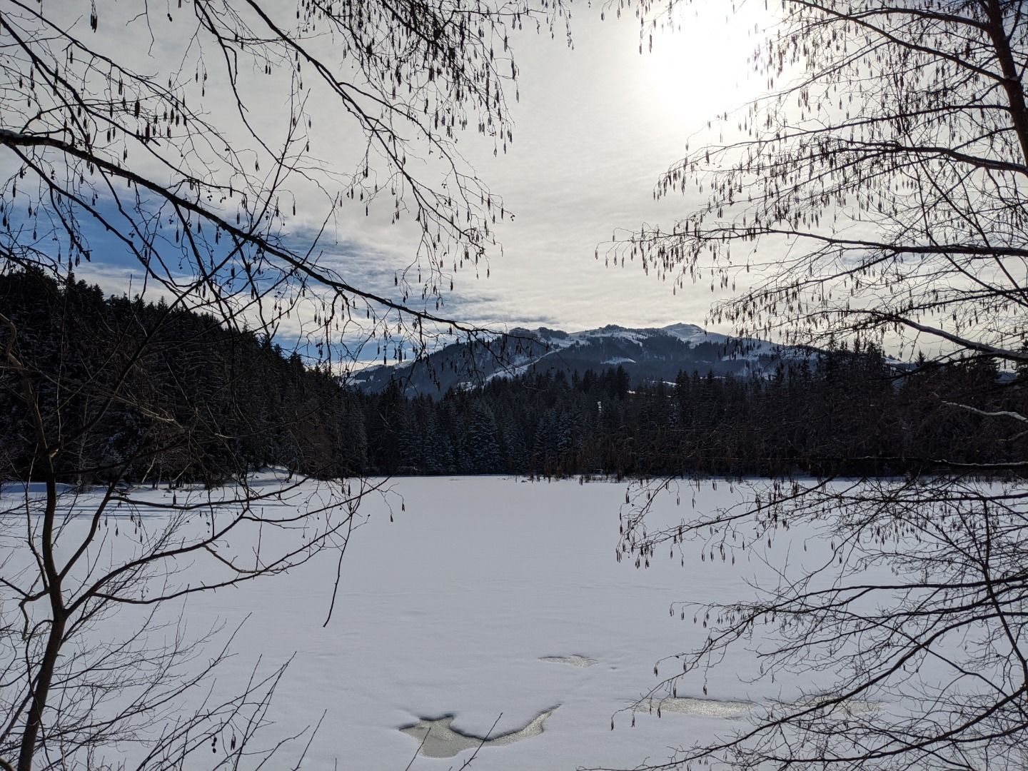
Gemeindeamt Reith (community office) - Kirche - Golfplatz - Schwarzsee - Hennleiten - Fleckalmbahn - Griesbach - Münichau - Gieringer Weiher - Münichau - Hallerndorf - Reith
Facts
equipment
Ankle-high walkingboots, functional mountain clothing, gaiters, spikes, a comfortable rucksack, hiking poles, snacks and drinks
Weather forecast
Today

Today
15°
/ 2°
Dry and bright with plenty of sunshine, clouds will be rare.
Tomorrow

Tomorrow
16°
/ 8°
Light rain until the early afternoon, then slowly becoming dry.