

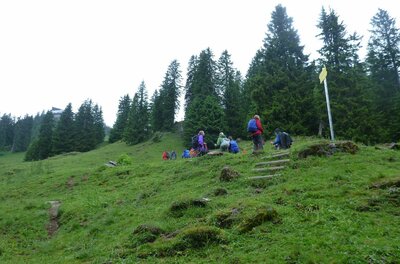
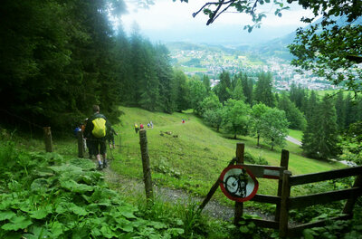
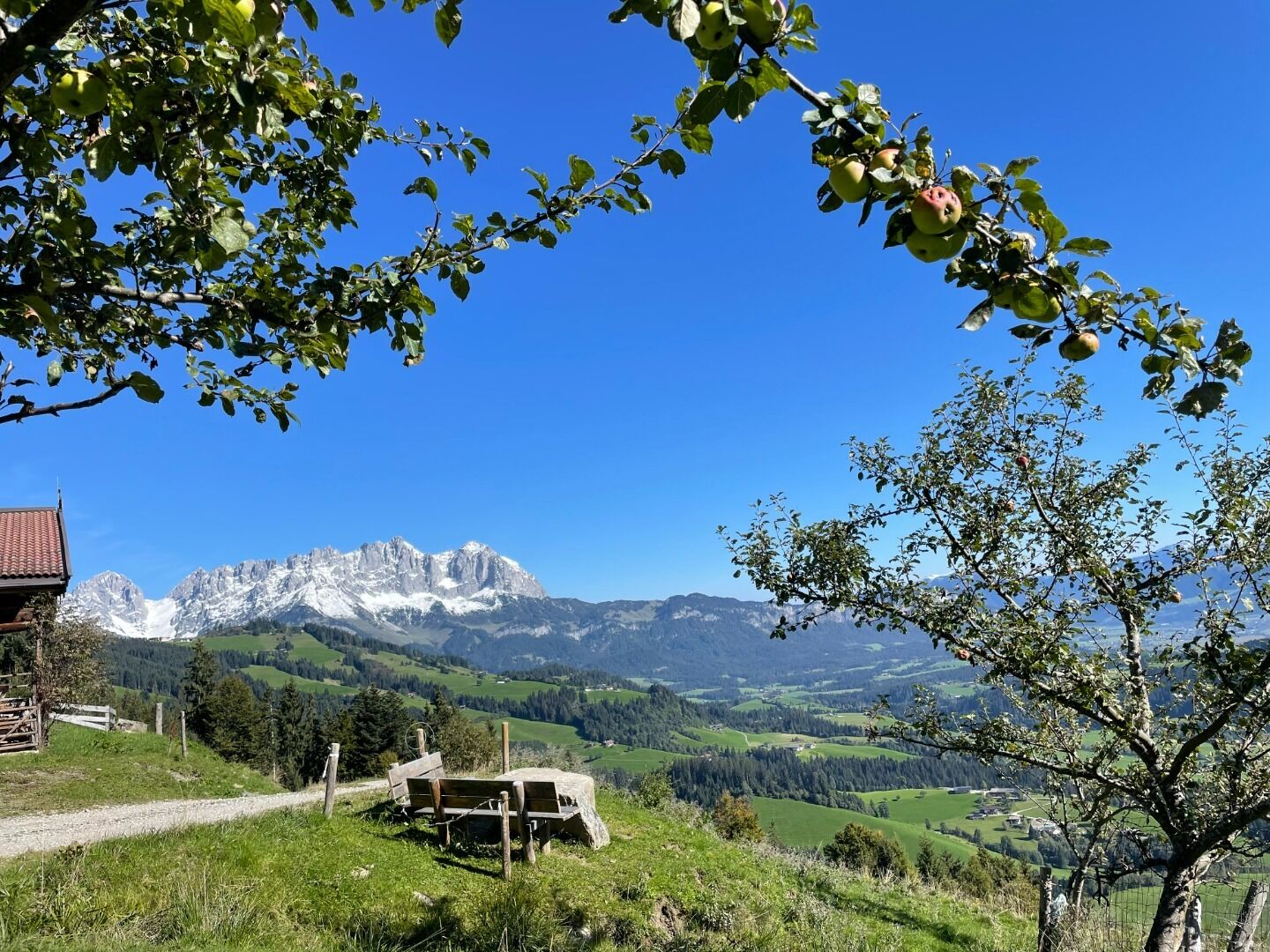
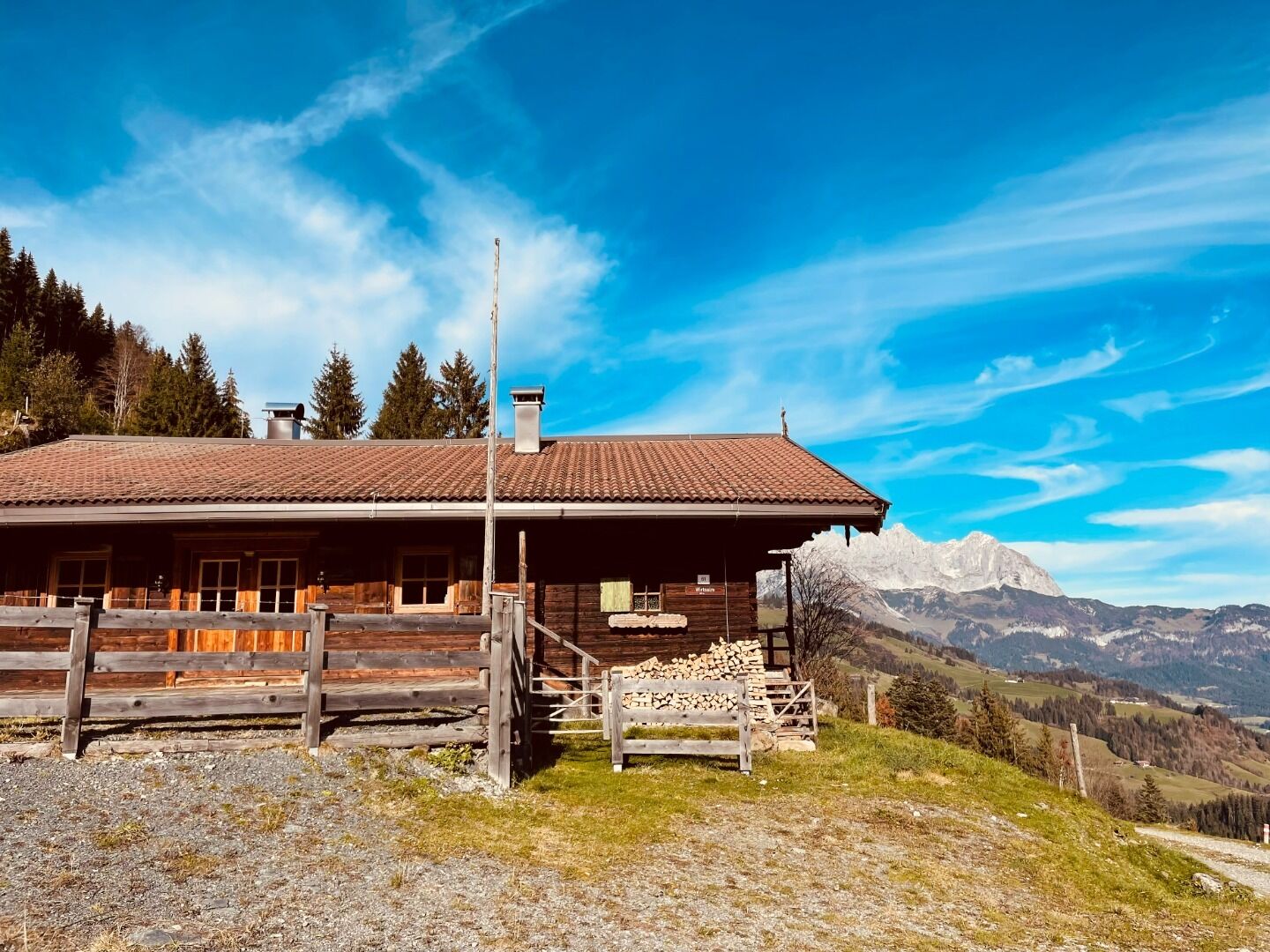
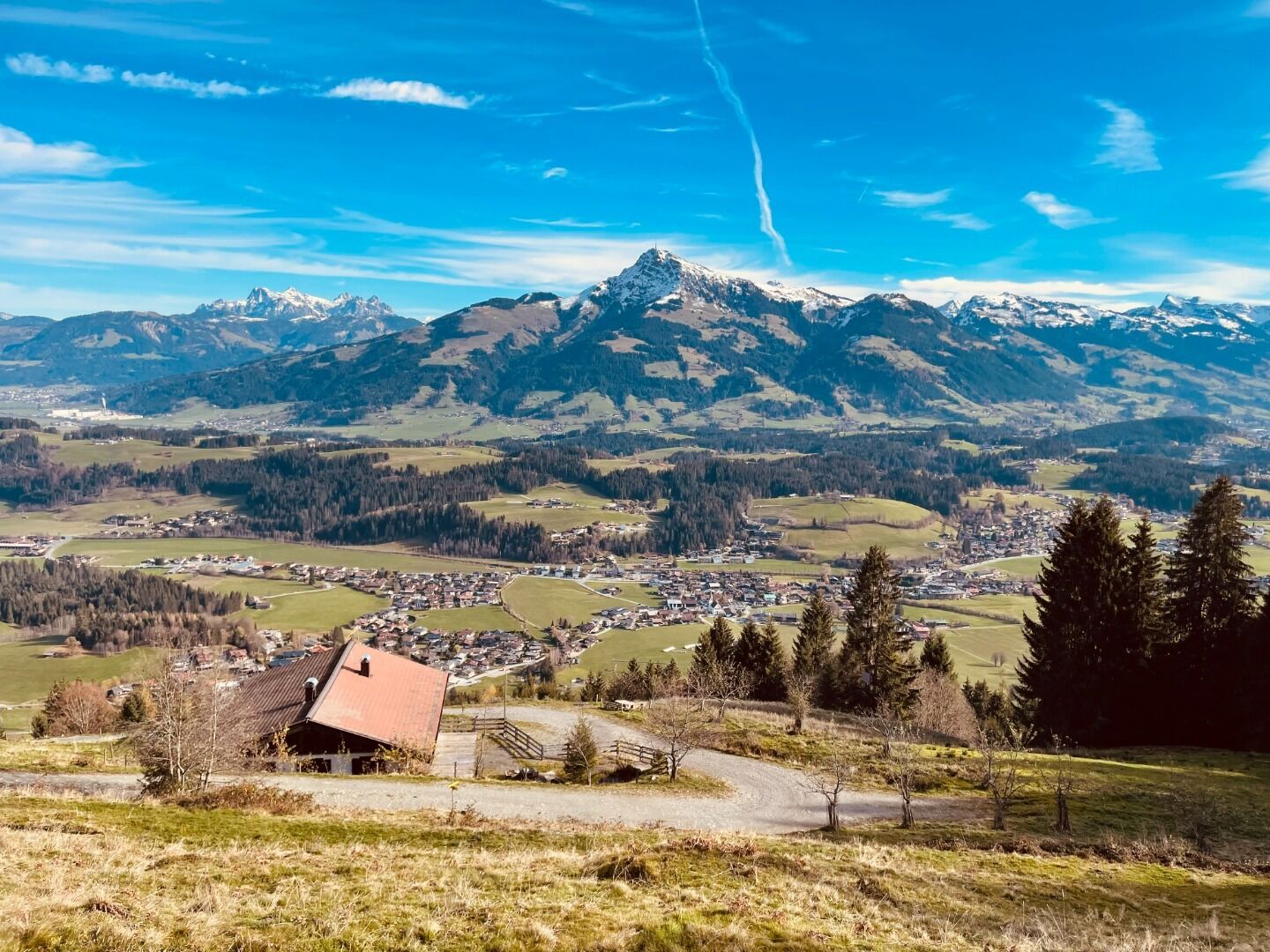
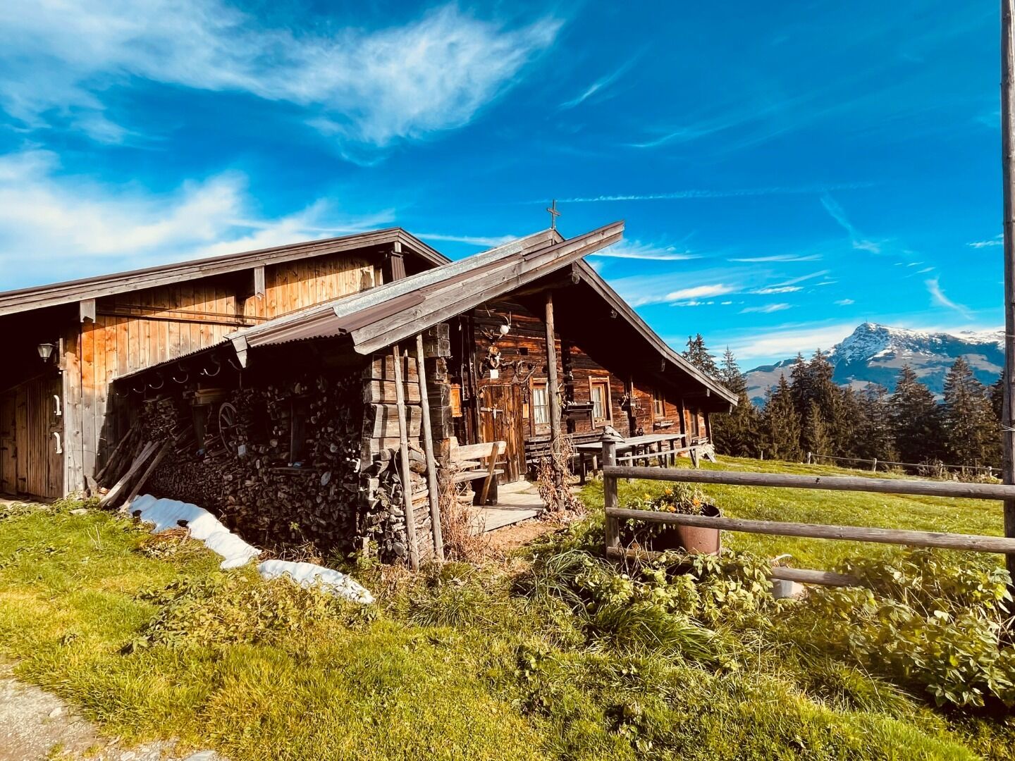
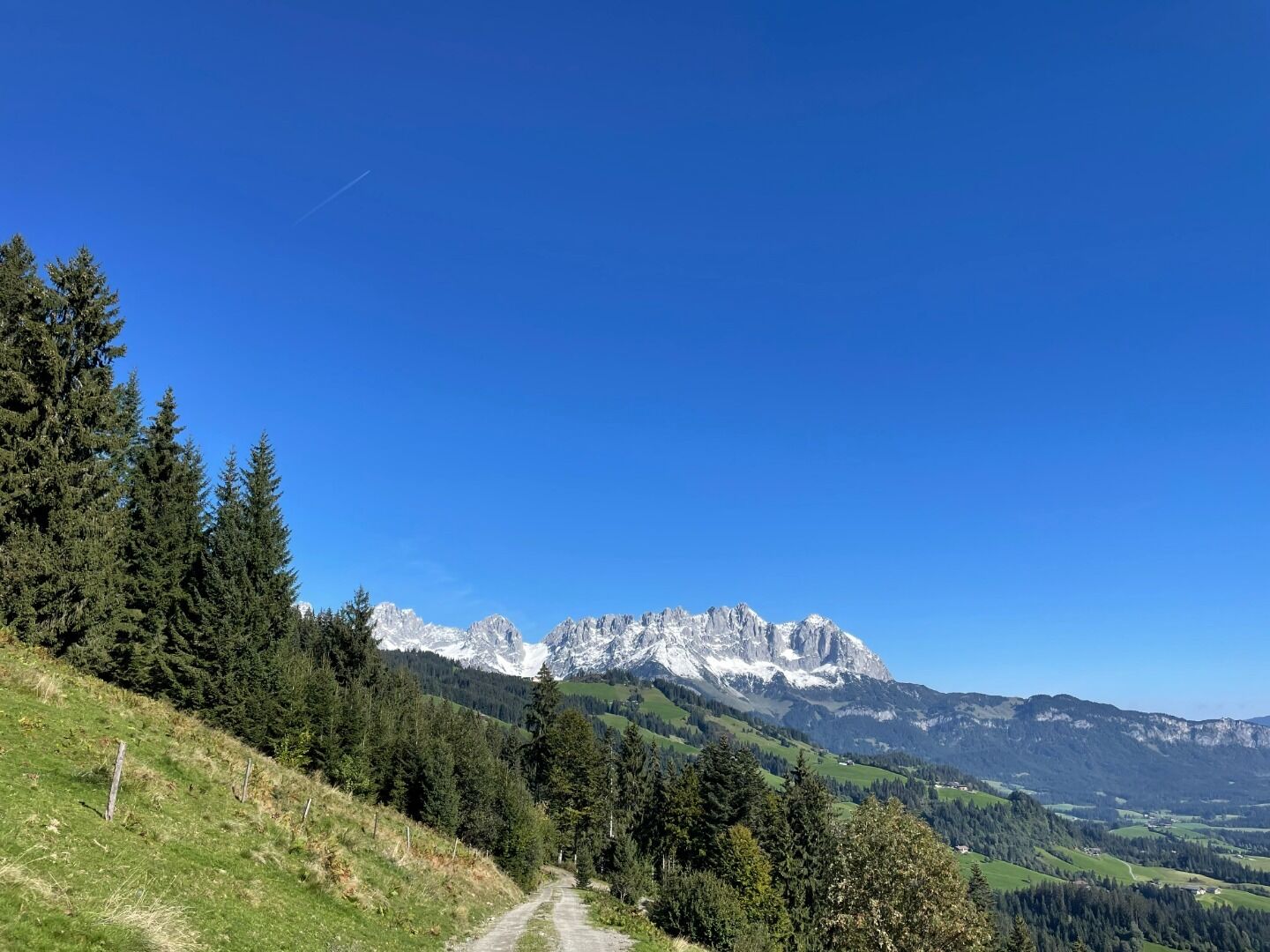
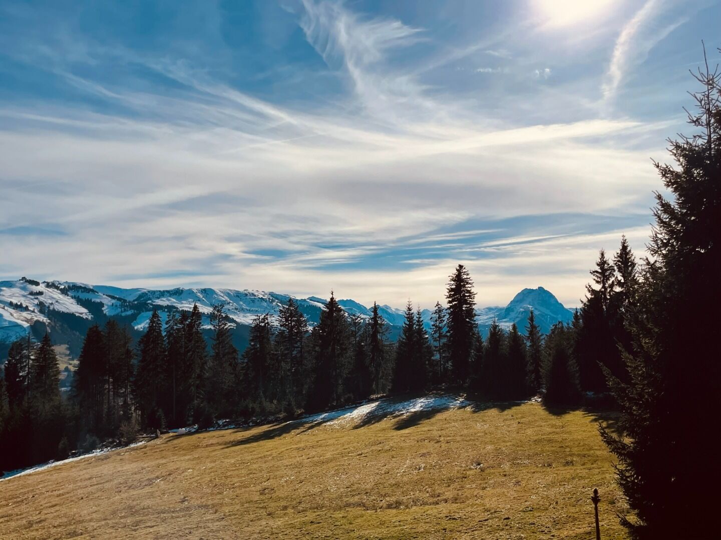
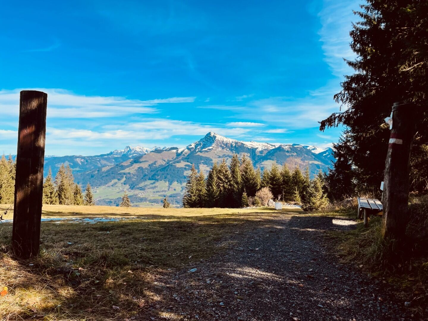
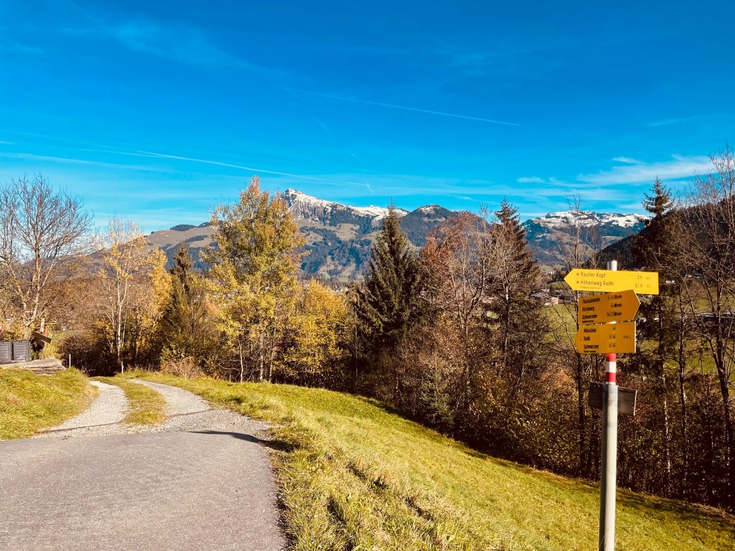
Kaiserblickweg


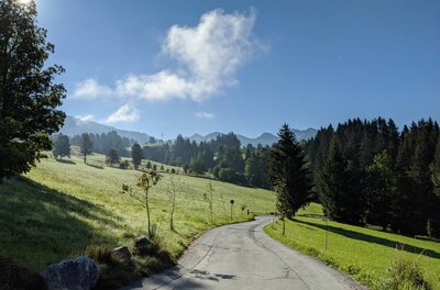
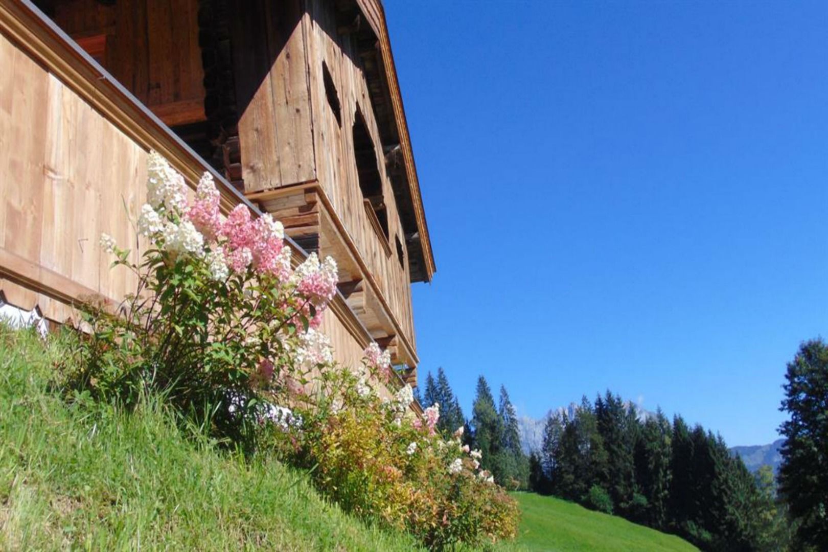
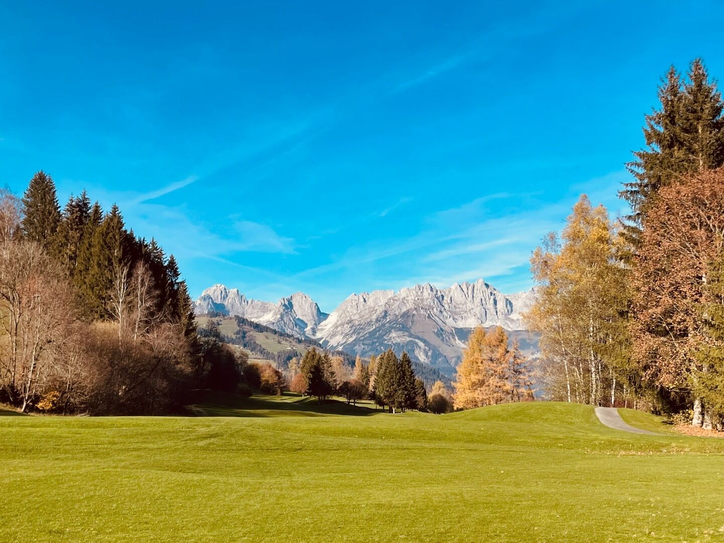
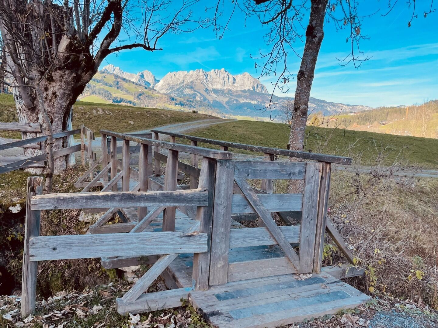
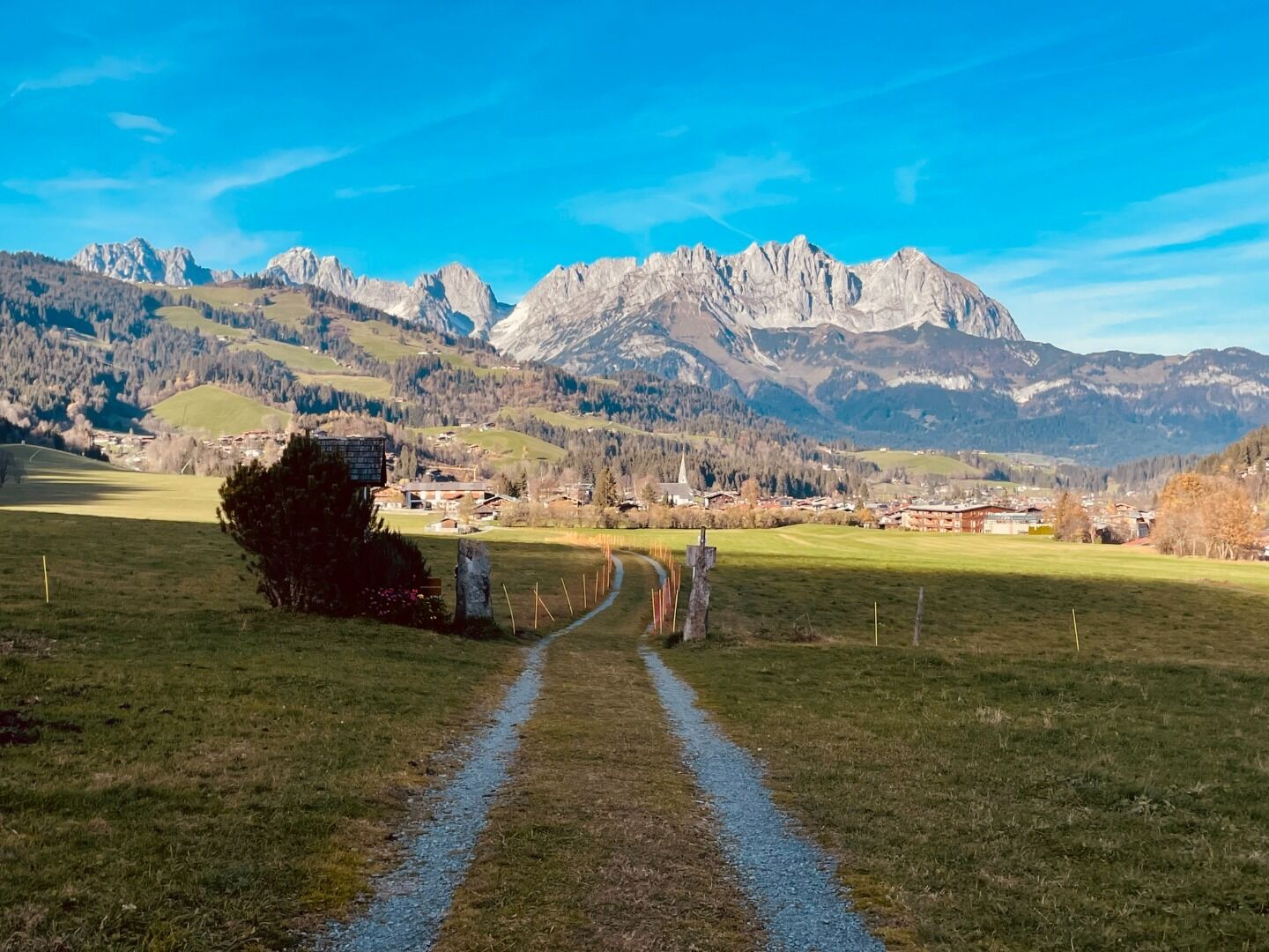
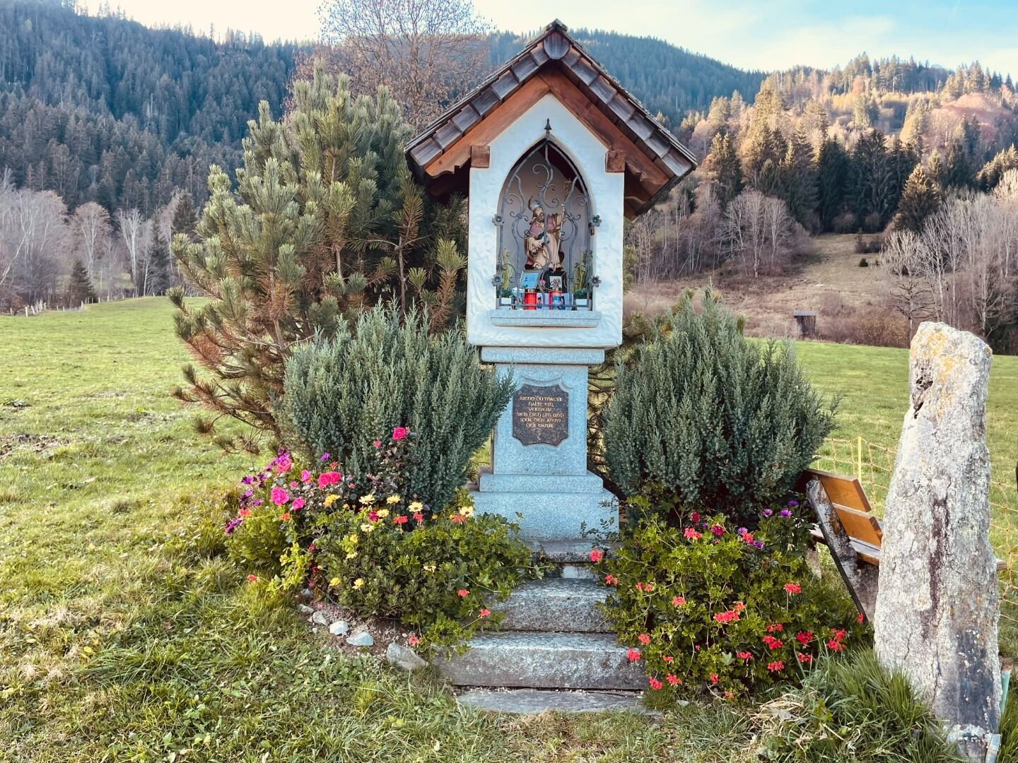
This circular hike starts at the hiking information point in Reith and features magnificent panoramic views. lt passes the Veitl chapel and then follows the ski slope up to towards the summit of Rauher Kopf. The Wirtsalm, Scharlwand Alm and Blinzalm mountain huts lie along the route and a "Friedenskreuz" peace cross is located on the summit. The route continues from the summit of Rauher Kopf towards the Hennleiten alpine guesthouse and then follows the Reither Ache stream past the Kitzbühel-Schwarzsee-Reith golf course. From there, the walk leads through lush alpine meadows and past the Griesbachhof to Keilhuber farm. From the farm, you can already see the starting point of the hike near the "Zum heiligen Ägidius" parish church in Reith.
Wander-Infoplatz Reith, Veitl-Kapelle, Skiwiese Reith, Wirtsalm, Scharlwand Alm, Blinzalm, Rauher Kopf, Berggasthof Hennleiten, Reither Ache, Golfplatz Kitzbühel-Schwarzsee-Reith, Griesbachhof, Keilhuber Hof, Pfarrkirche "Zum Heiligen Ägidius", Wander-Infoplatz Reith
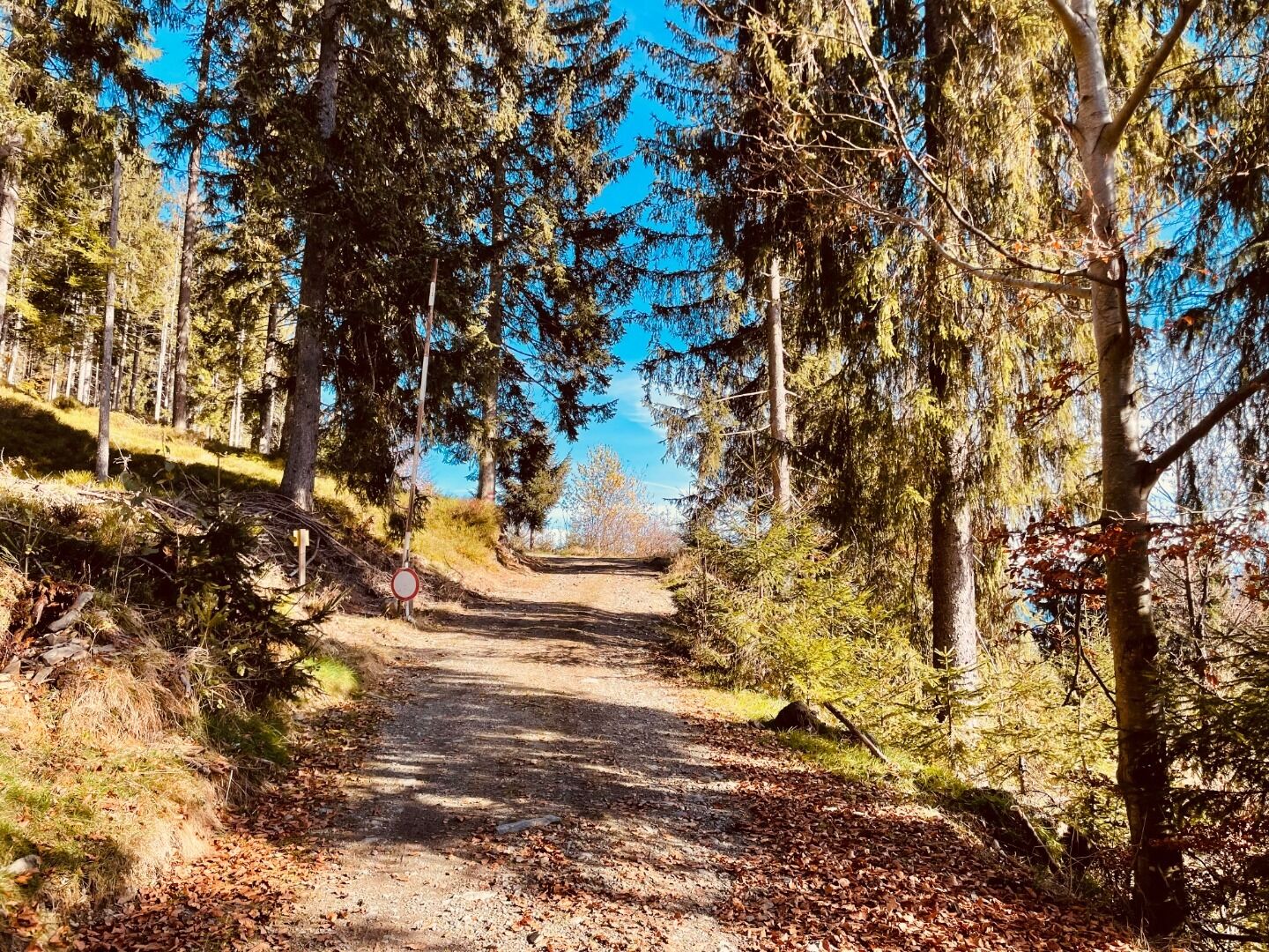
Asphalt, gravel, alpine paths
Sturdy, ankle-high footwear, functional mountain clothing, waterproofs, sun protection, plenty to drink, a comfortable backpack, hiking poles, snacks
closest bus stop: Reith b. Kitzbühel Kulturhaus
Dry and sunny throughout the day with hardly any clouds.
Mostly sunny throughout the day with a chance of showers towards evening.
