 Kitzbühel Tourismus")

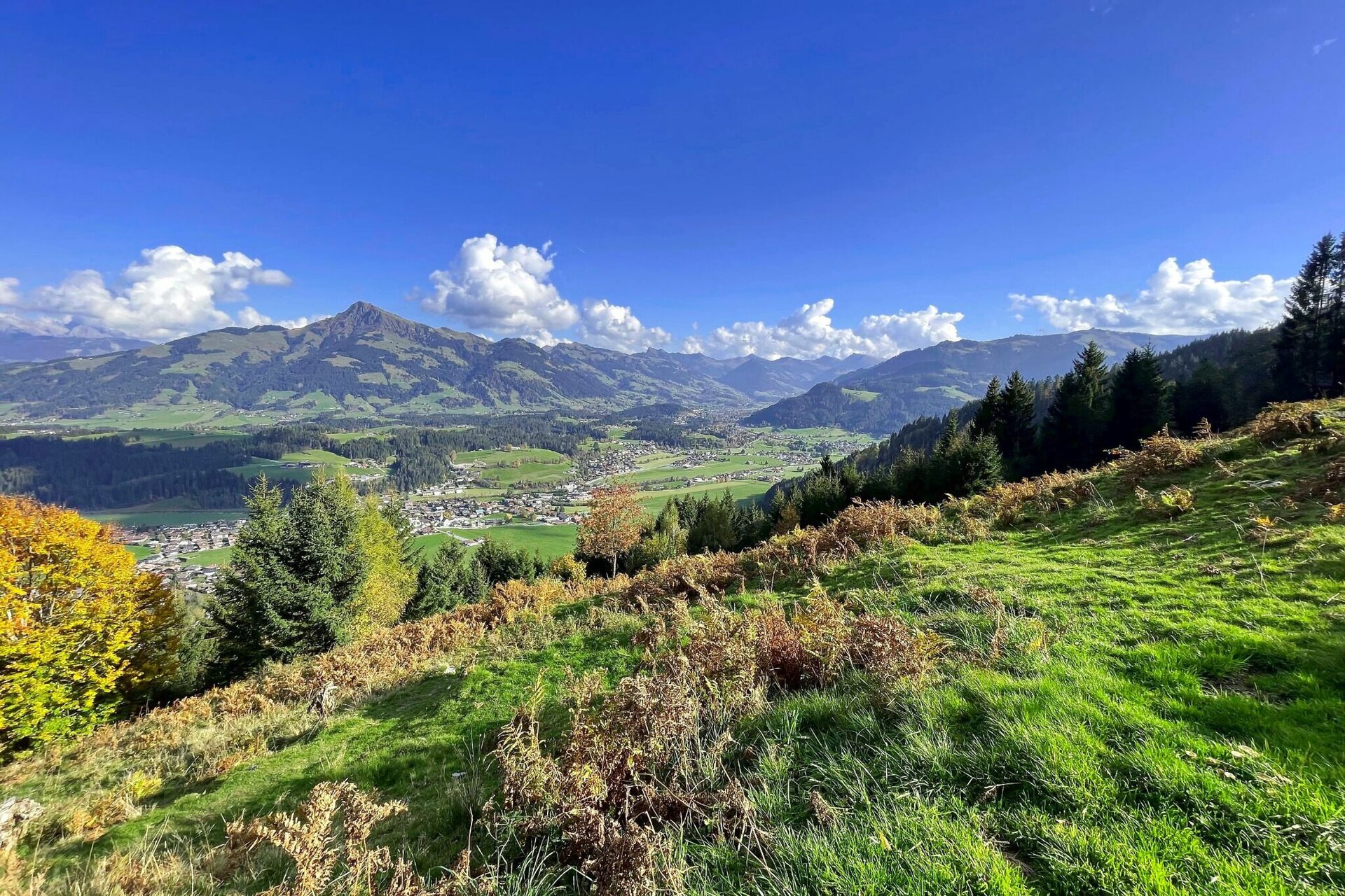
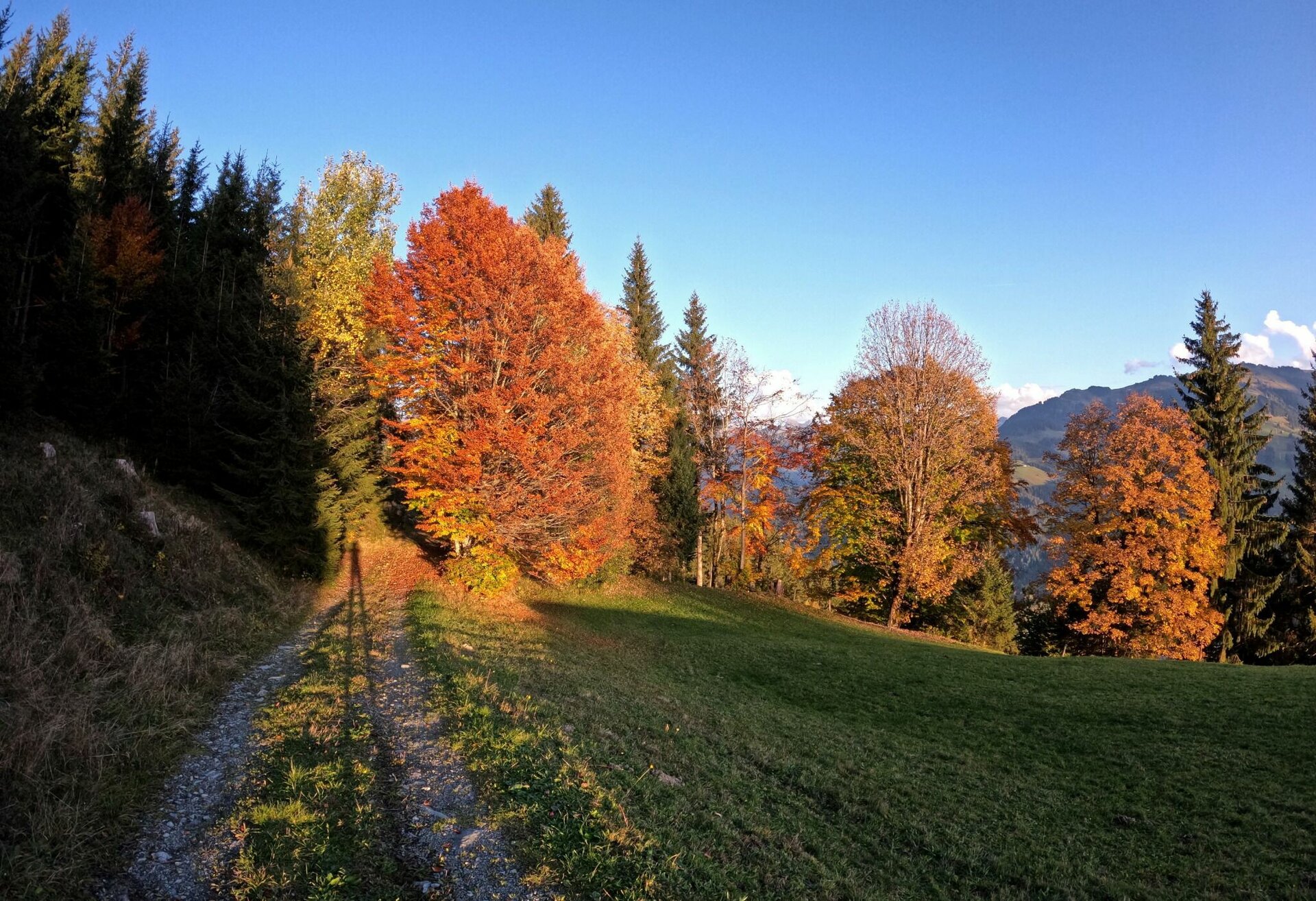
Höhenweg Reith
A beautiful and technically easy loop that is fun for beginners or can be run quickly in both directions.
Running
· Trailrunning
Medium
·


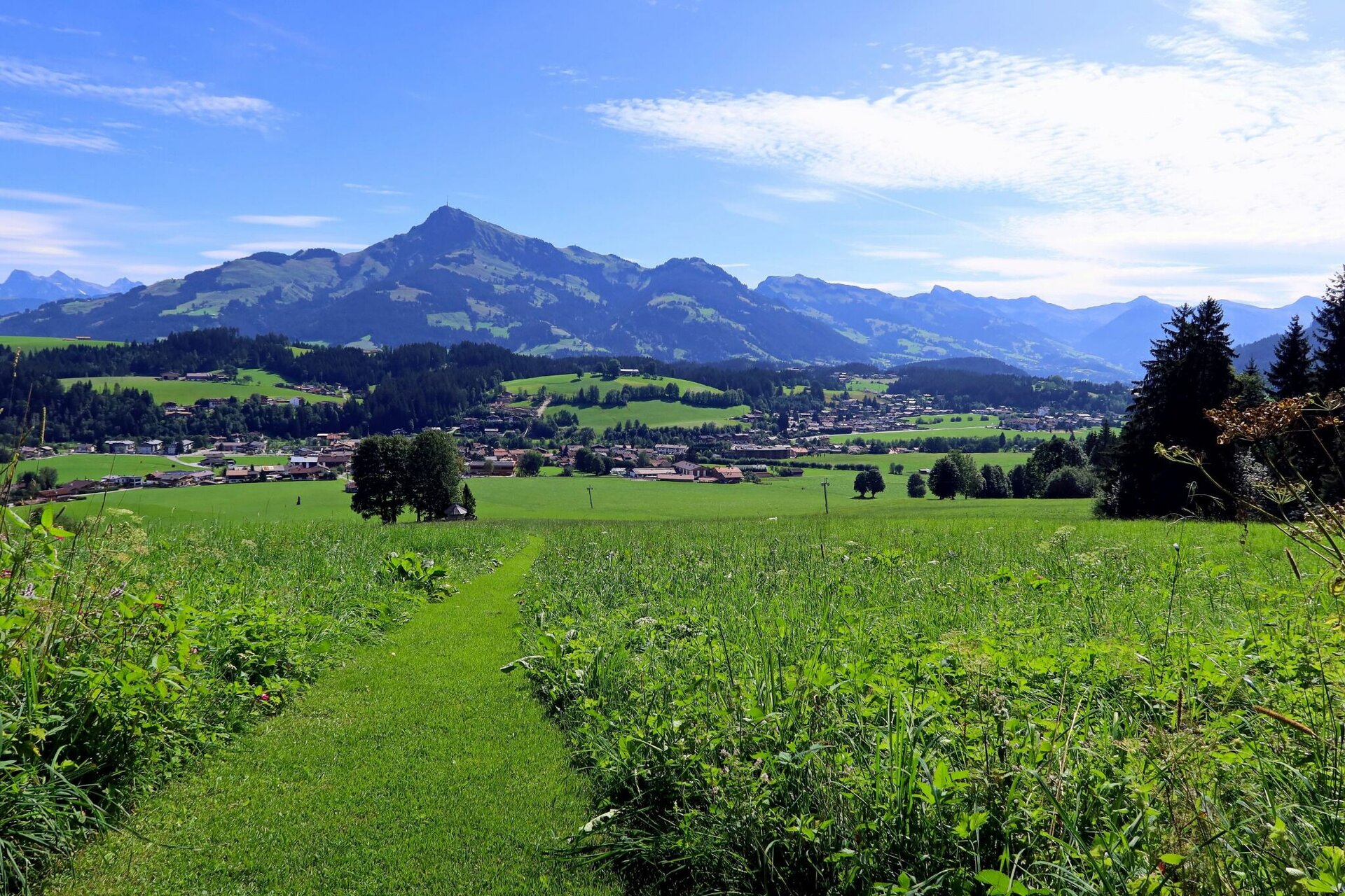
Höhenweg Reith
A beautiful and technically easy loop that is fun for beginners or can be run quickly in both directions.
Running
· Trailrunning
Medium
·
10.70 km
597 m
597 m
Tour Details
Highest point
1297
m
Best time of year
Jan
Feb
Mär
Apr
Mai
Jun
Jul
Aug
Sep
Okt
Nov
Dez
Description
Facts
Weather forecast
Today
Today
25°
/ 7°
Dry and sunny throughout the day with hardly any clouds.
Tomorrow
Tomorrow
26°
/ 9°
Dry and sunny throughout the day with hardly any clouds.


