 Kitzbühel Tourismus")

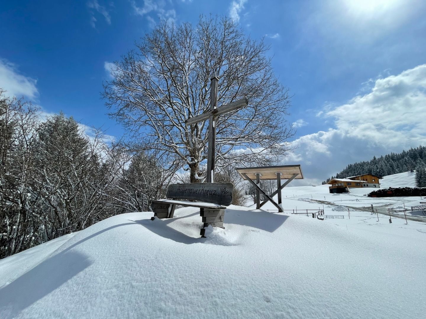
Hollenauer Kreuz
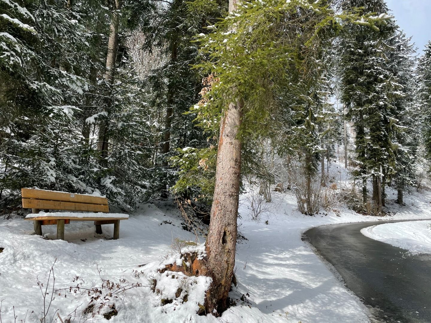
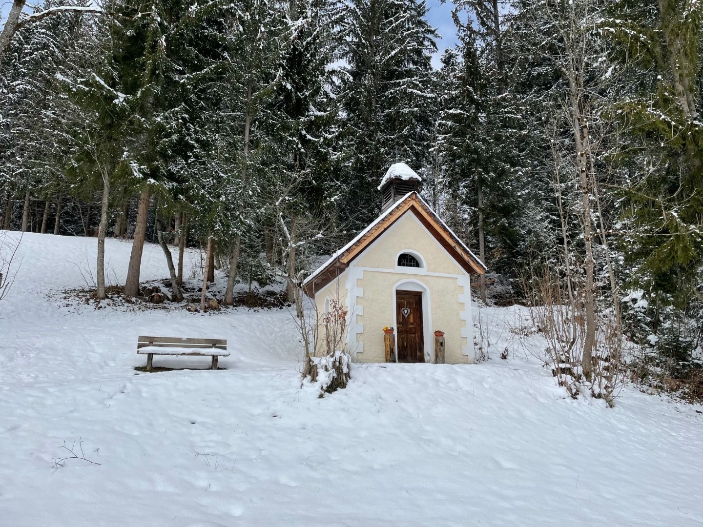
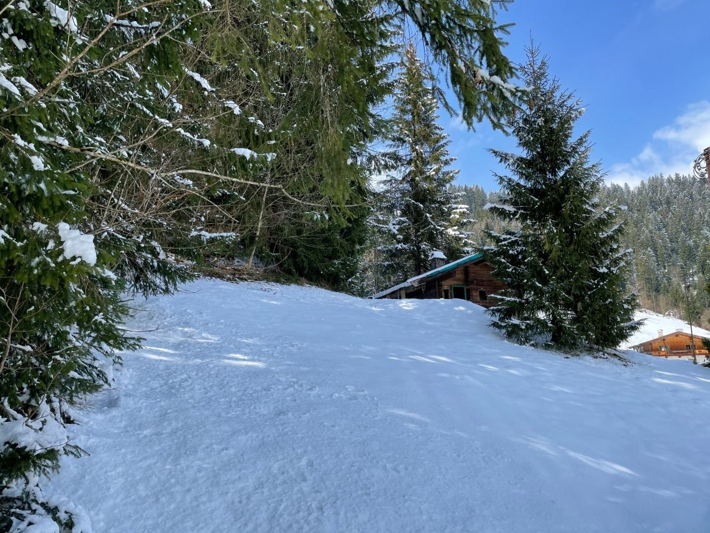
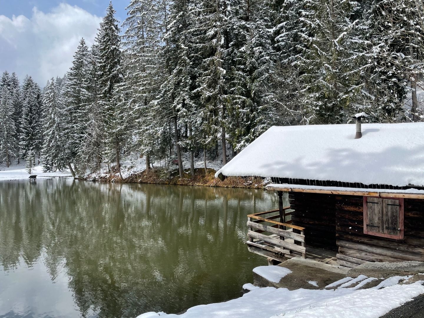
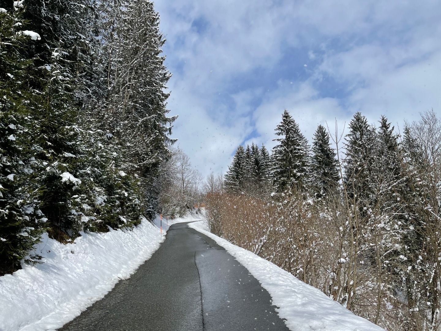
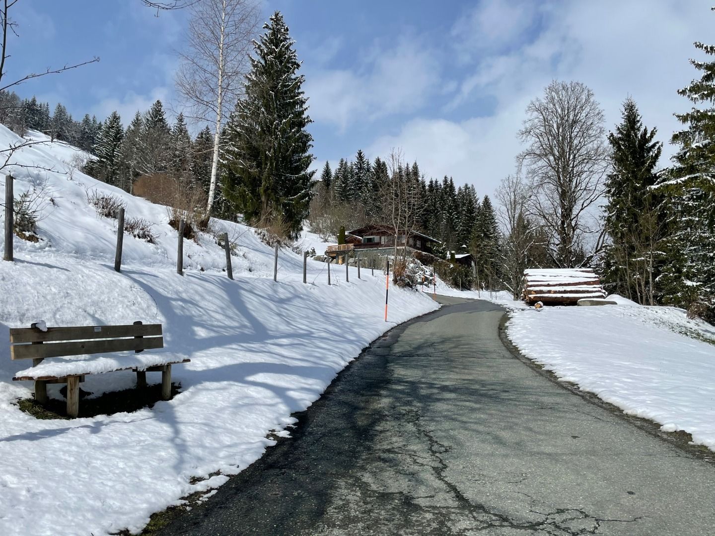
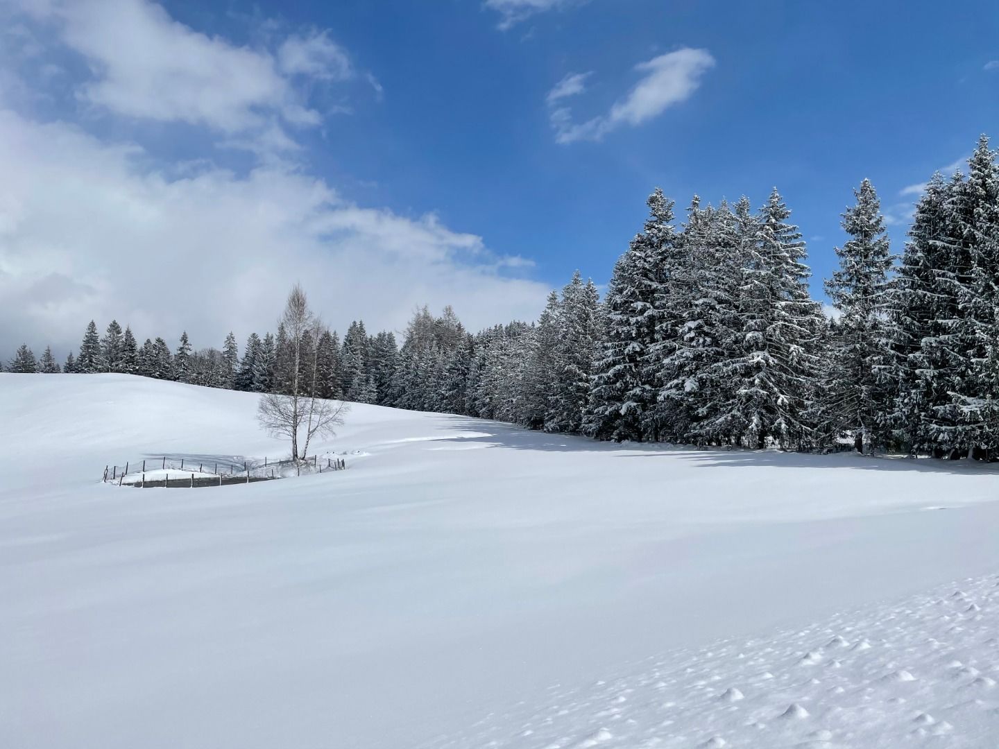
Hike
· Winter walking
Medium
·


Hollenauer Kreuz
Hike
· Winter walking
Medium
·
2:00 h
6.00 km
338 m
Tour Details
Highest point
1032
m
Starting point
Gemeindeamt Reith (community office)
Endpoint
Hollenauer Kreuz
Description
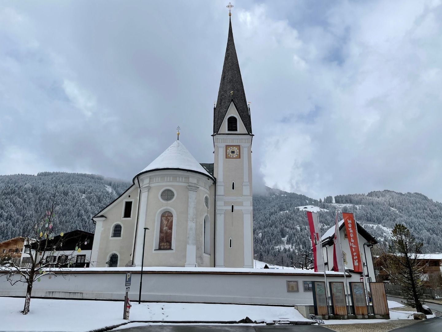
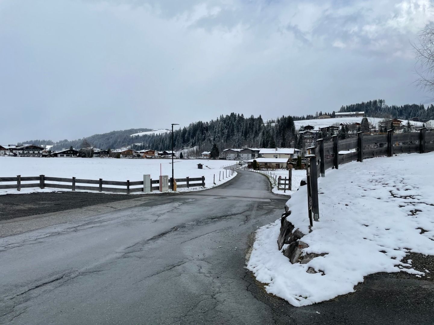
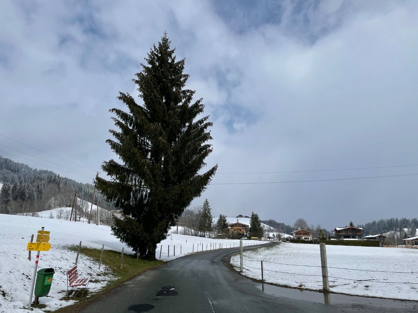
Gemeindeamt Reith (community office) - Kirche - Reinache - Winkel - Astberg - Hollenauer Kreuz
Facts
Route
Wander- Infoplatz Reith - Kirche - Reinache - Winkel - Astberg - Hollenauer Kreuz
equipment
Ankle-high walkingboots, functional mountain clothing, gaiters, spikes, a comfortable rucksack, hiking poles, snacks and drinks
Arrival information by car
Bus
Weather forecast
Today
Today
25°
/ 7°
Dry and sunny throughout the day with hardly any clouds.
Tomorrow
Tomorrow
26°
/ 9°
Dry and sunny throughout the day with hardly any clouds.


