 Kitzbühel Tourismus")

Jochbergwald - Trattenbachalm
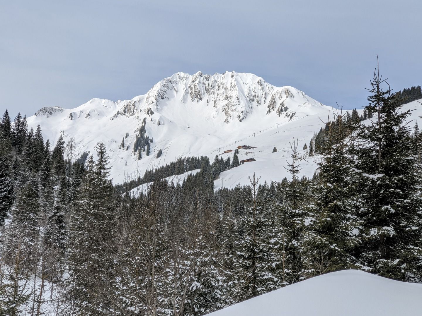
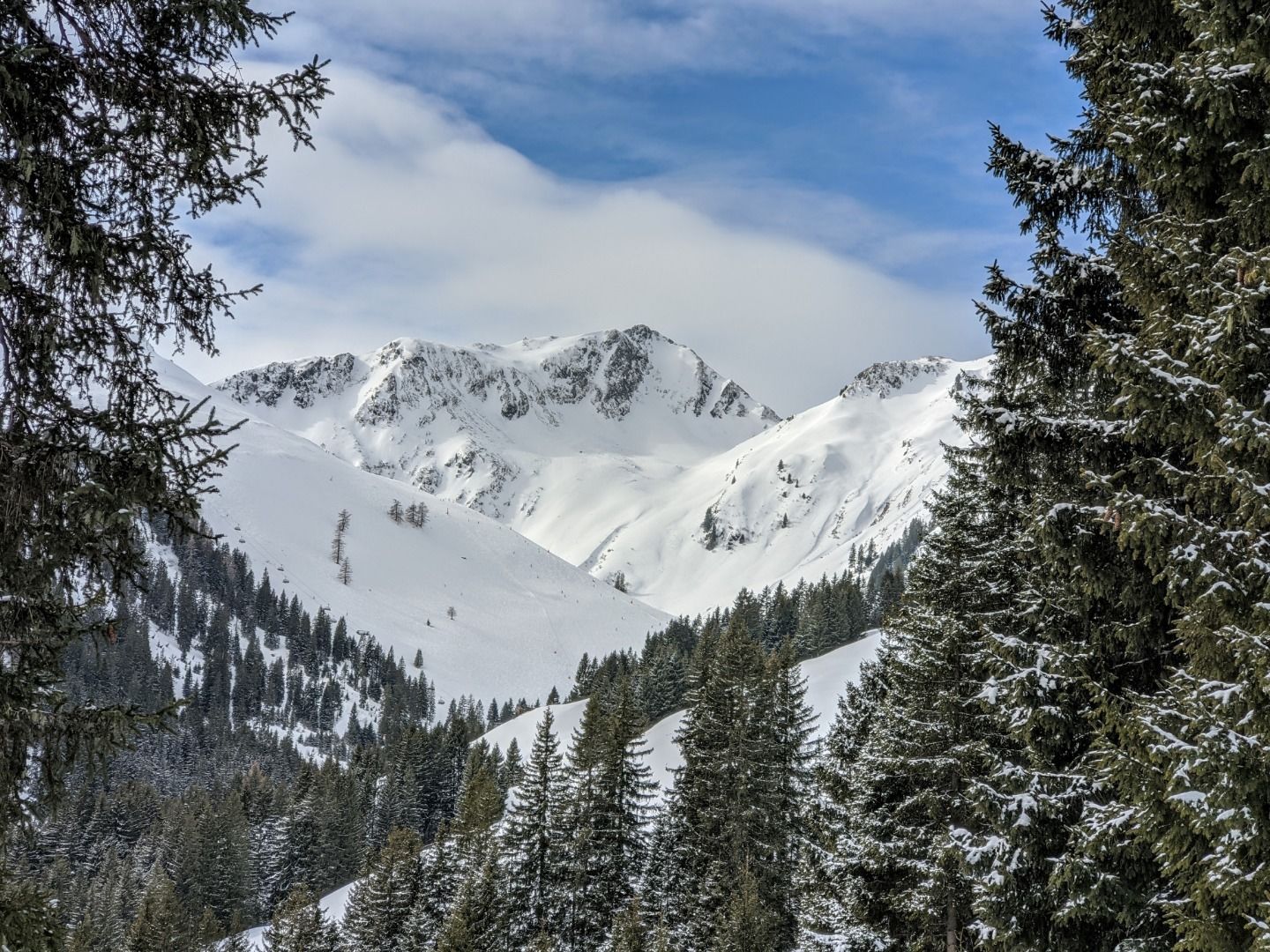
From the starting point Jochberg Wald, we hike through the magnificent winter landscape towards Trattenbachalm.
Hike
· Winter walking
Medium
·


Jochbergwald - Trattenbachalm
From the starting point Jochberg Wald, we hike through the magnificent winter landscape towards Trattenbachalm.
Hike
· Winter walking
Medium
·
5.50 km
650 m
Tour Details
Highest point
1620
m
Ascent time
2:30
h
Starting point
Jochbergwald
Endpoint
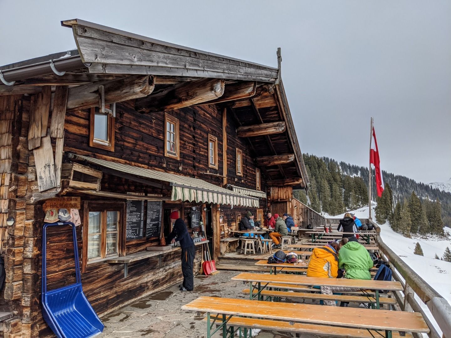
Trattenbachalm
Description
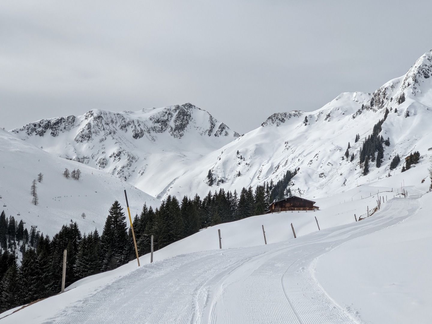
Our starting point is Jochberg Wald. We cross the main road and follow the signs to the Trattenbachalm. A winter hiking trail that also serves as a toboggan run. However, the Trattenbachalm does not offer toboggan rentals. This hike leads through a magnificent winter landscape away from the surrounding ski slopes. Only shortly before reaching the Trattenbachalm do you have to cross the ski slopes twice. Caution, some sections may be icy!
Facts
Route
Jochbergwald - cross the main road - Trattenbachalm - (toboggan run)
Road quality
Asphalt, gravel. Caution: sections may be icy!
Weather forecast
Today
Today
16°
/ 7°
Dry and sunny throughout the day with hardly any clouds.
Tomorrow
Tomorrow
17°
/ 9°
Dry and partly sunny throughout the day, with cloudy periods from time to time.


