 Kitzbühel Tourismus")

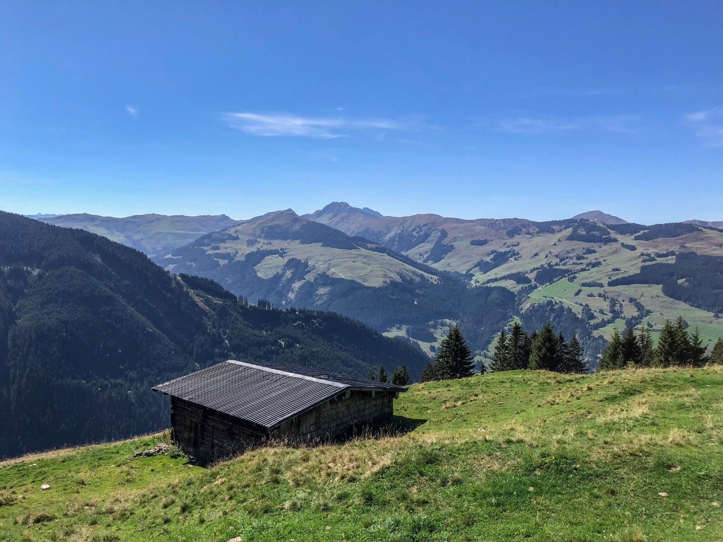
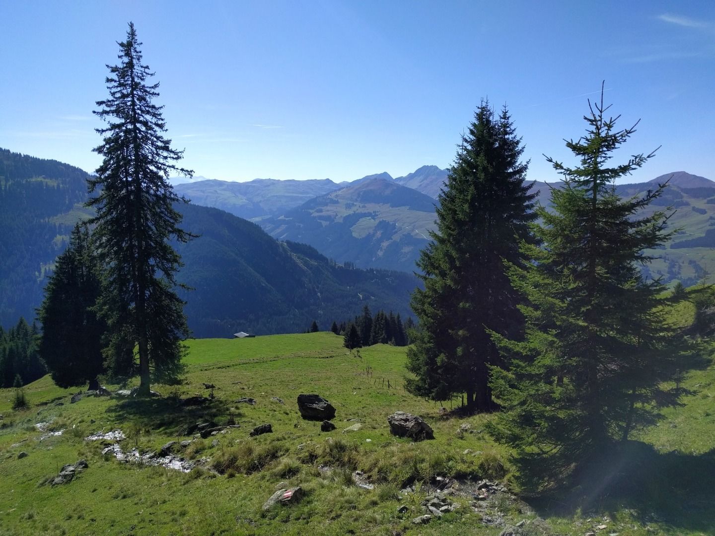
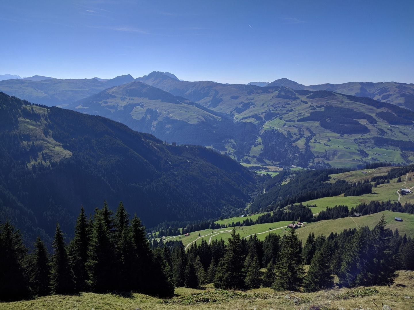
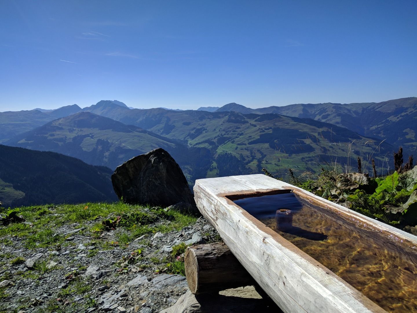
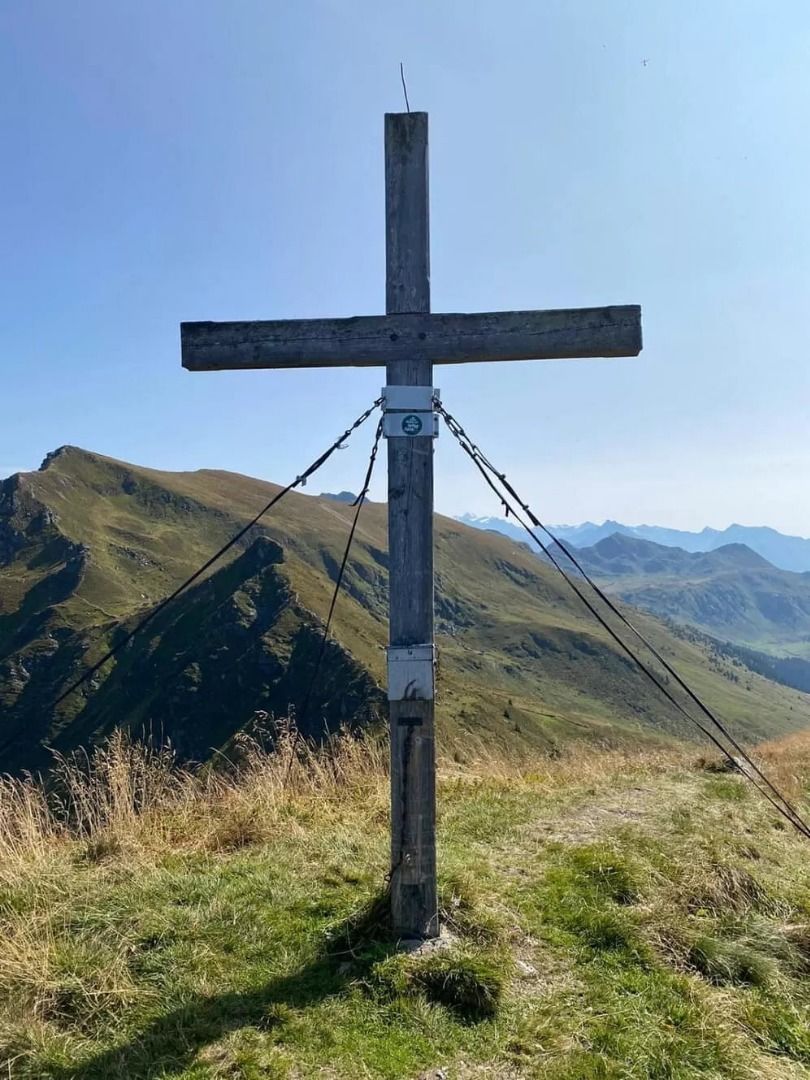
Schützkogel Alpinsteig
.
Hike
· Hiking & mountain tour
Hard
·


Schützkogel Alpinsteig
.
Hike
· Hiking & mountain tour
Hard
·
6:30 h
18.15 km
1433 m
Tour Details
Highest point
2076
m
Starting point
Ortsinfobüro Jochberg
Endpoint
Ortsinfobüro Jochberg
Description
.
Facts
Road quality
Talhochalm - Schlichtenalm gesperrt!
Weather forecast
Today
Today
16°
/ 7°
Dry and sunny throughout the day with hardly any clouds.
Tomorrow
Tomorrow
17°
/ 9°
Dry and partly sunny throughout the day, with cloudy periods from time to time.


