 Kitzbühel Tourismus")


Tour Details
Highest point
958
m
Starting point
Gemeindeamt Jochberg
Endpoint
Gemeindeamt Jochberg
Description
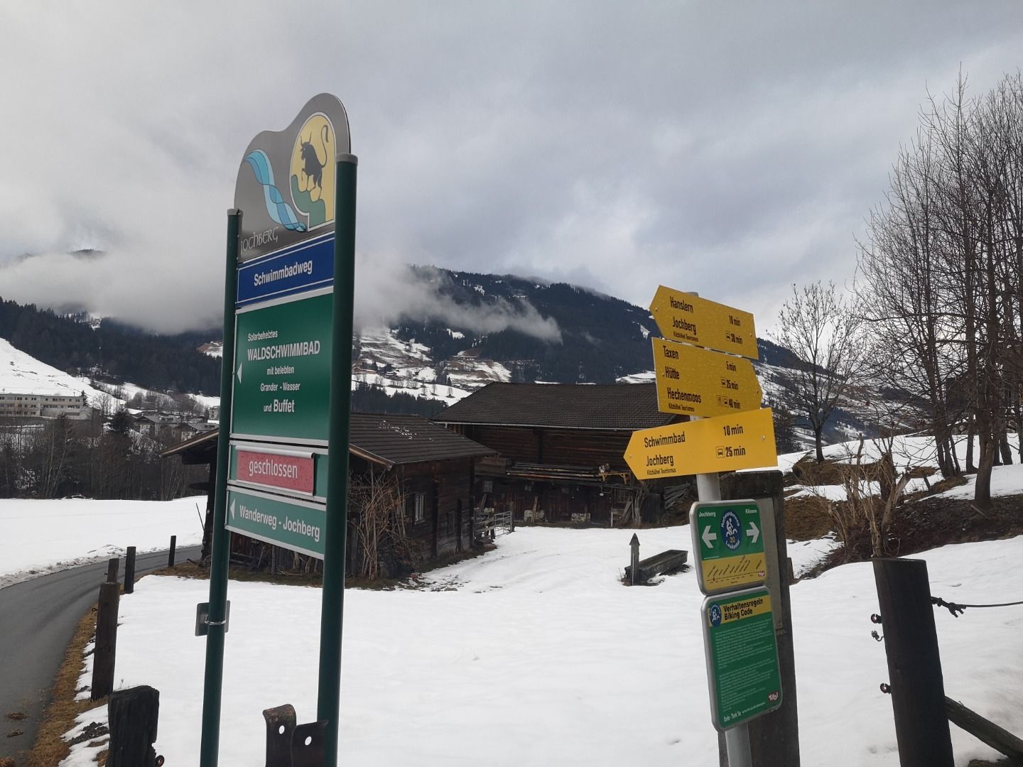
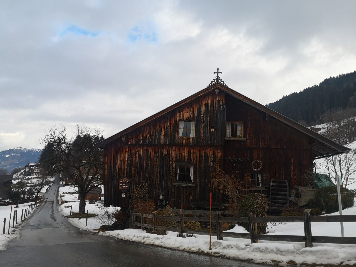
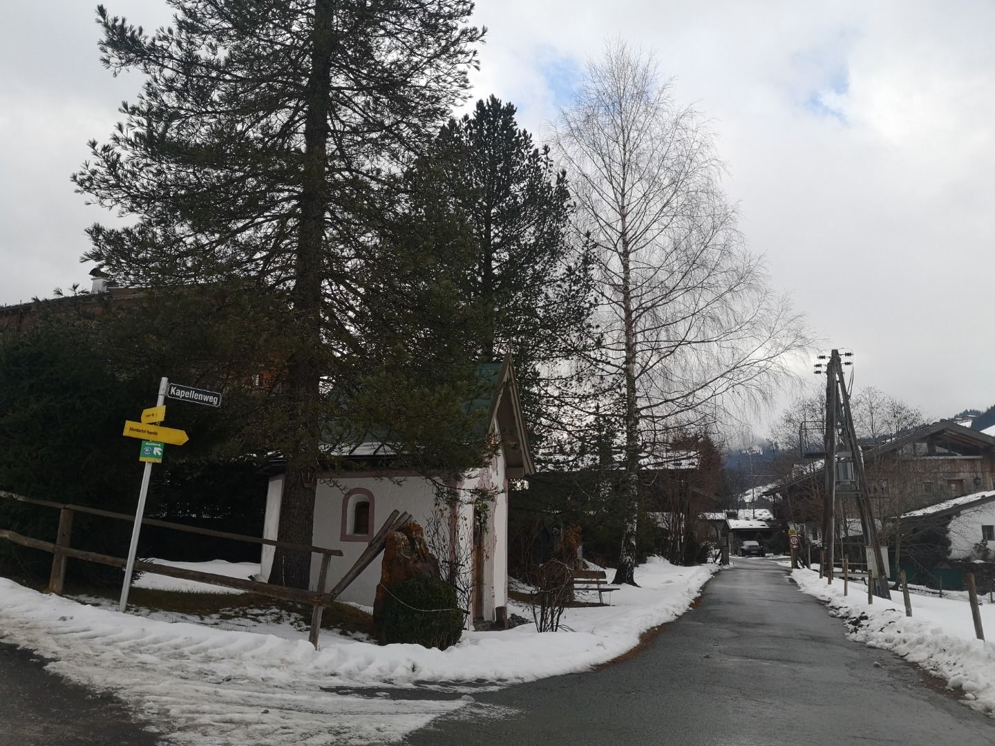
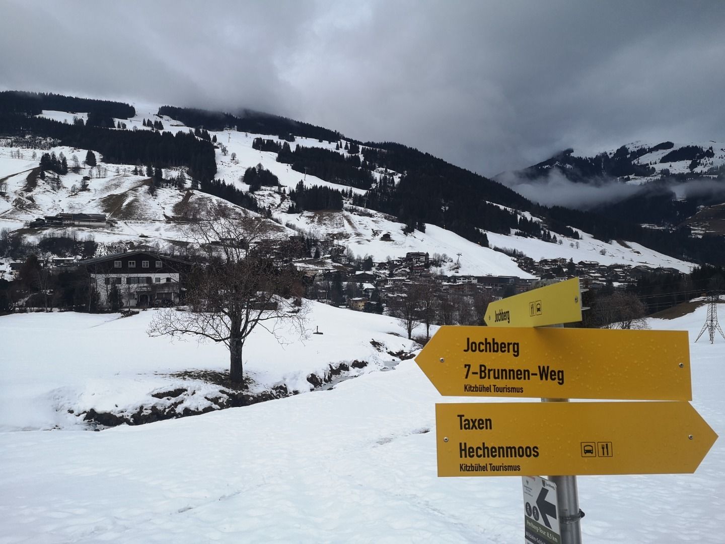
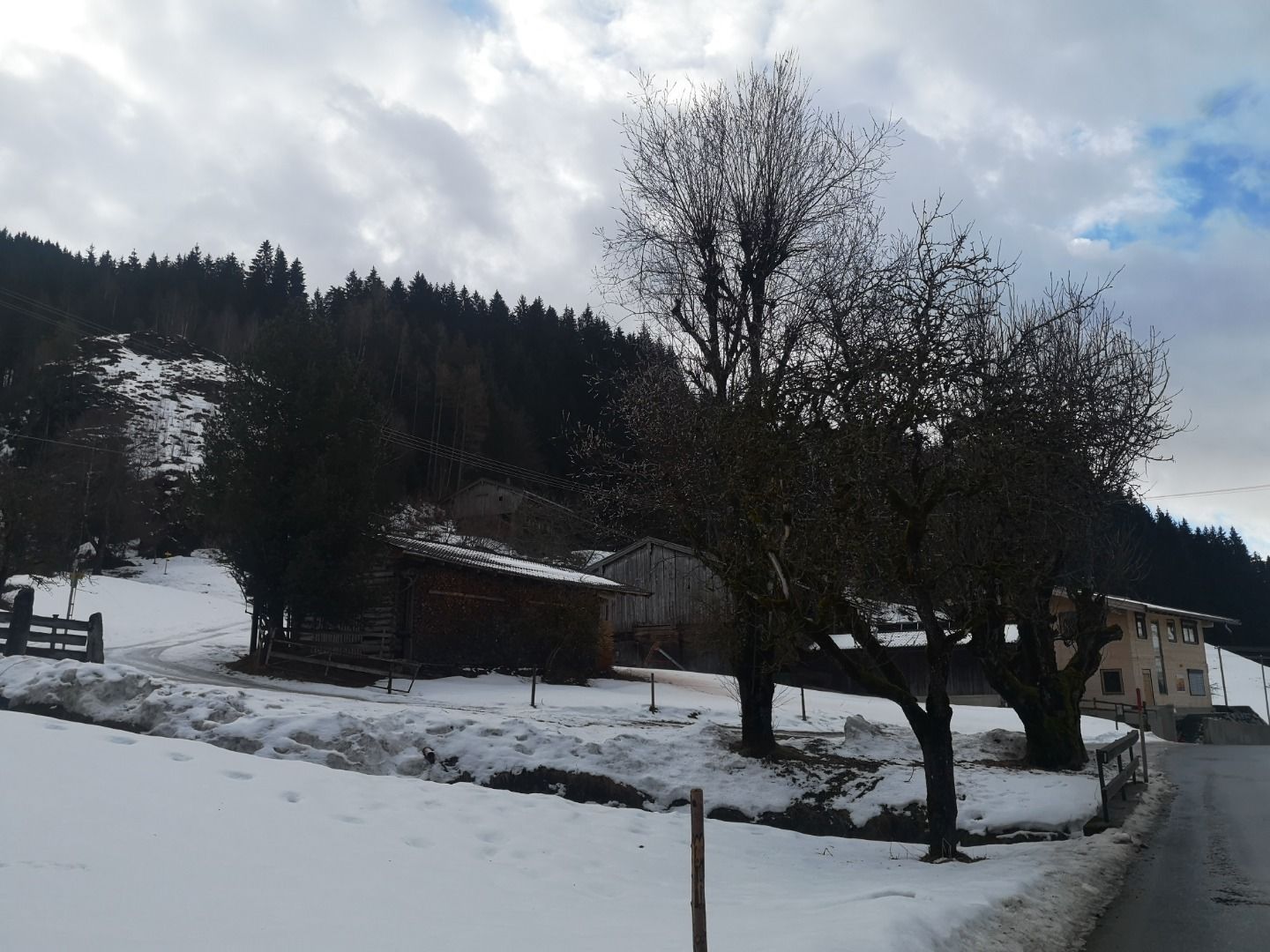
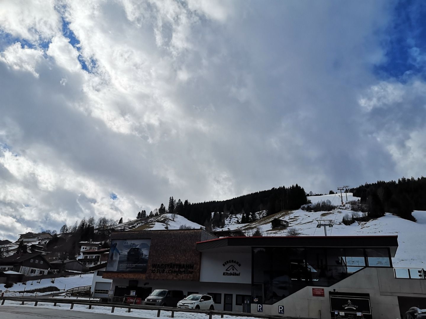
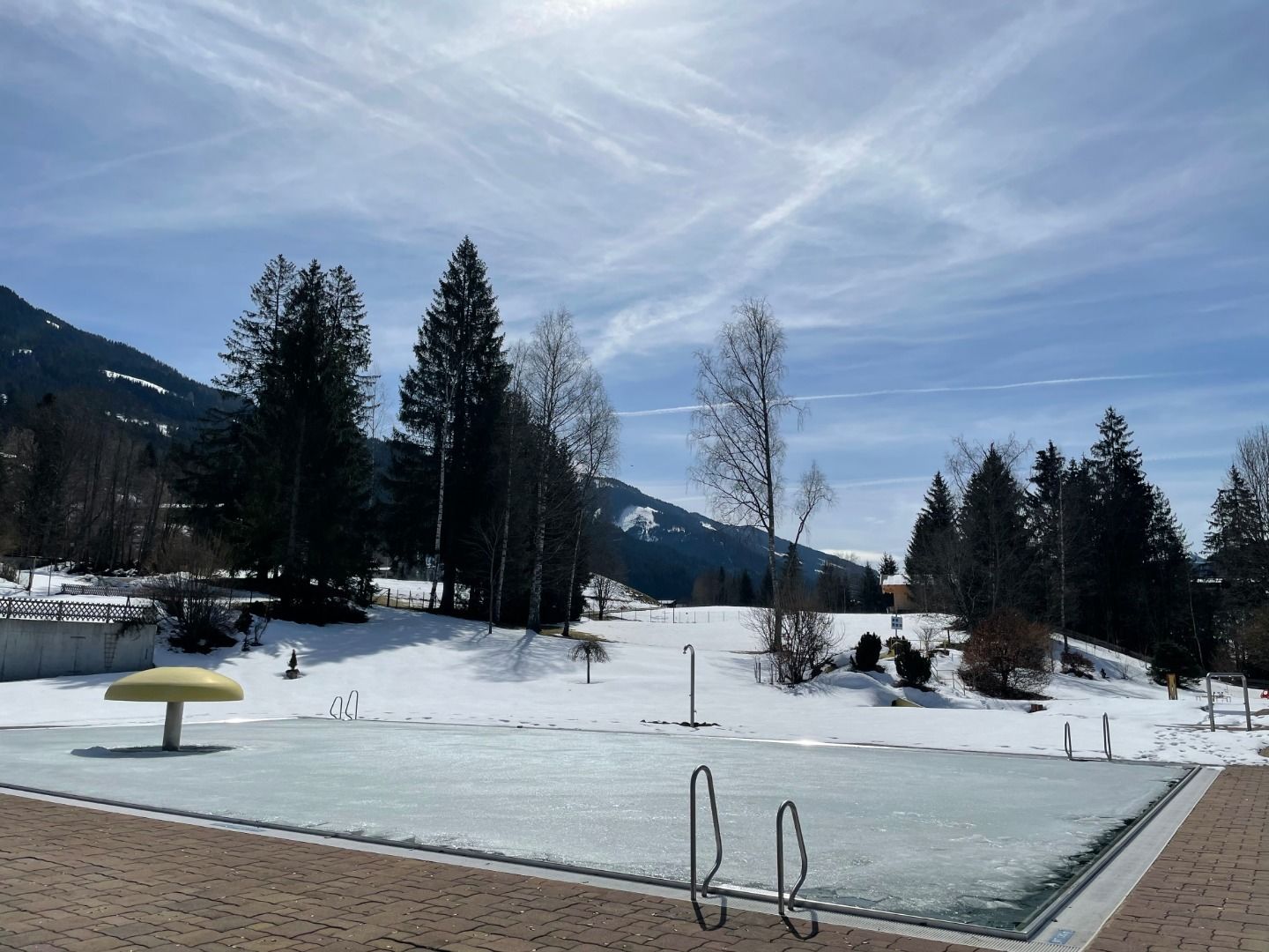
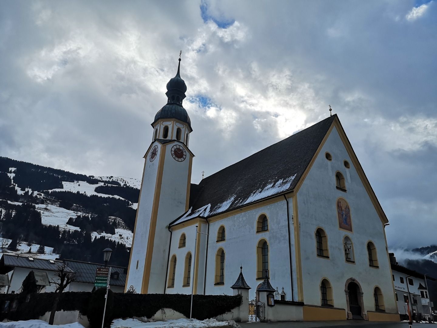
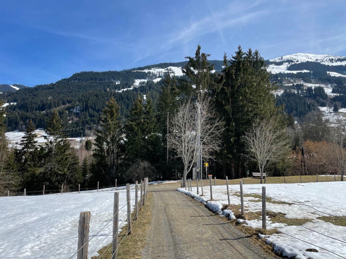
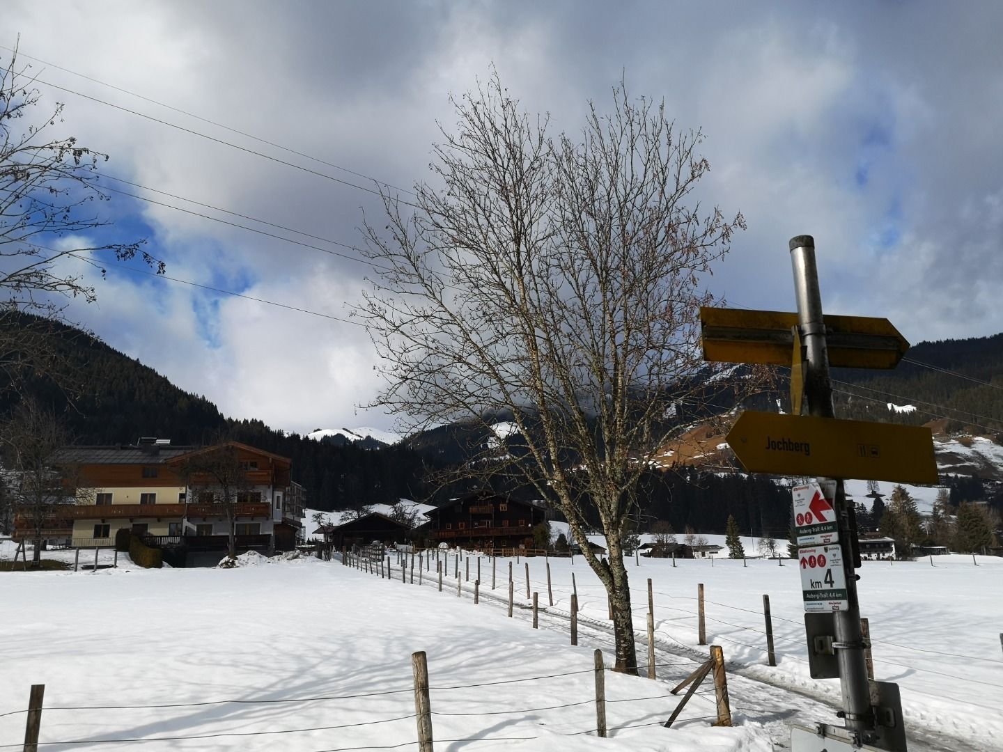
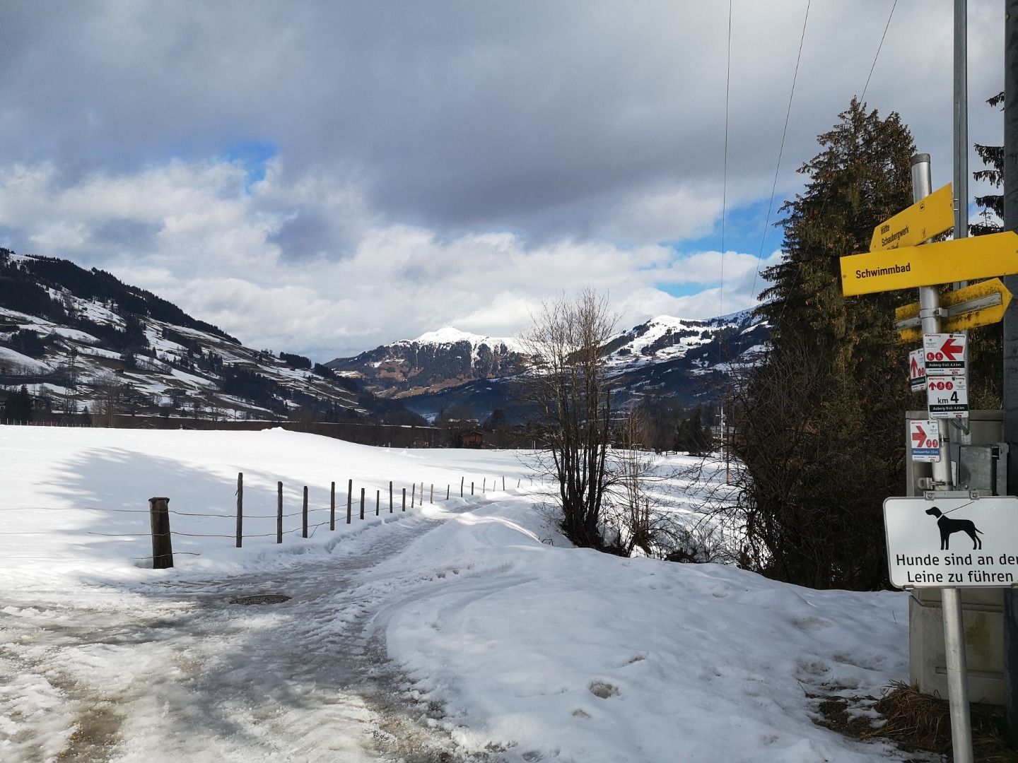
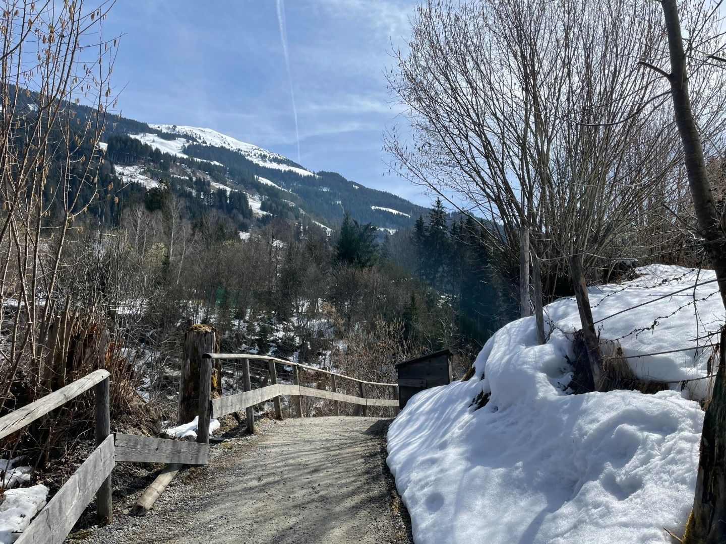
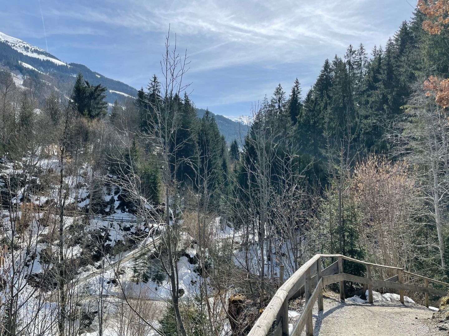
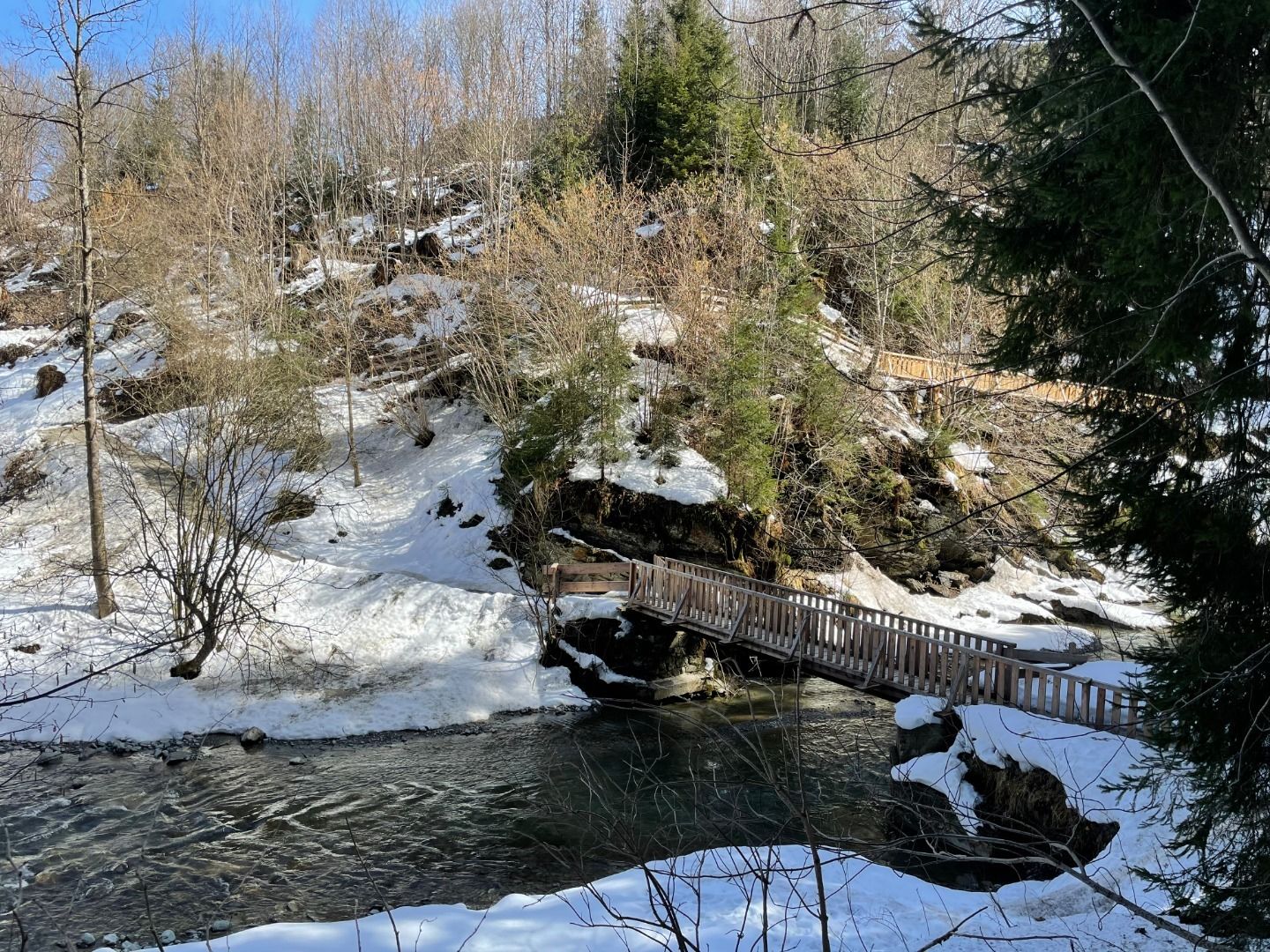
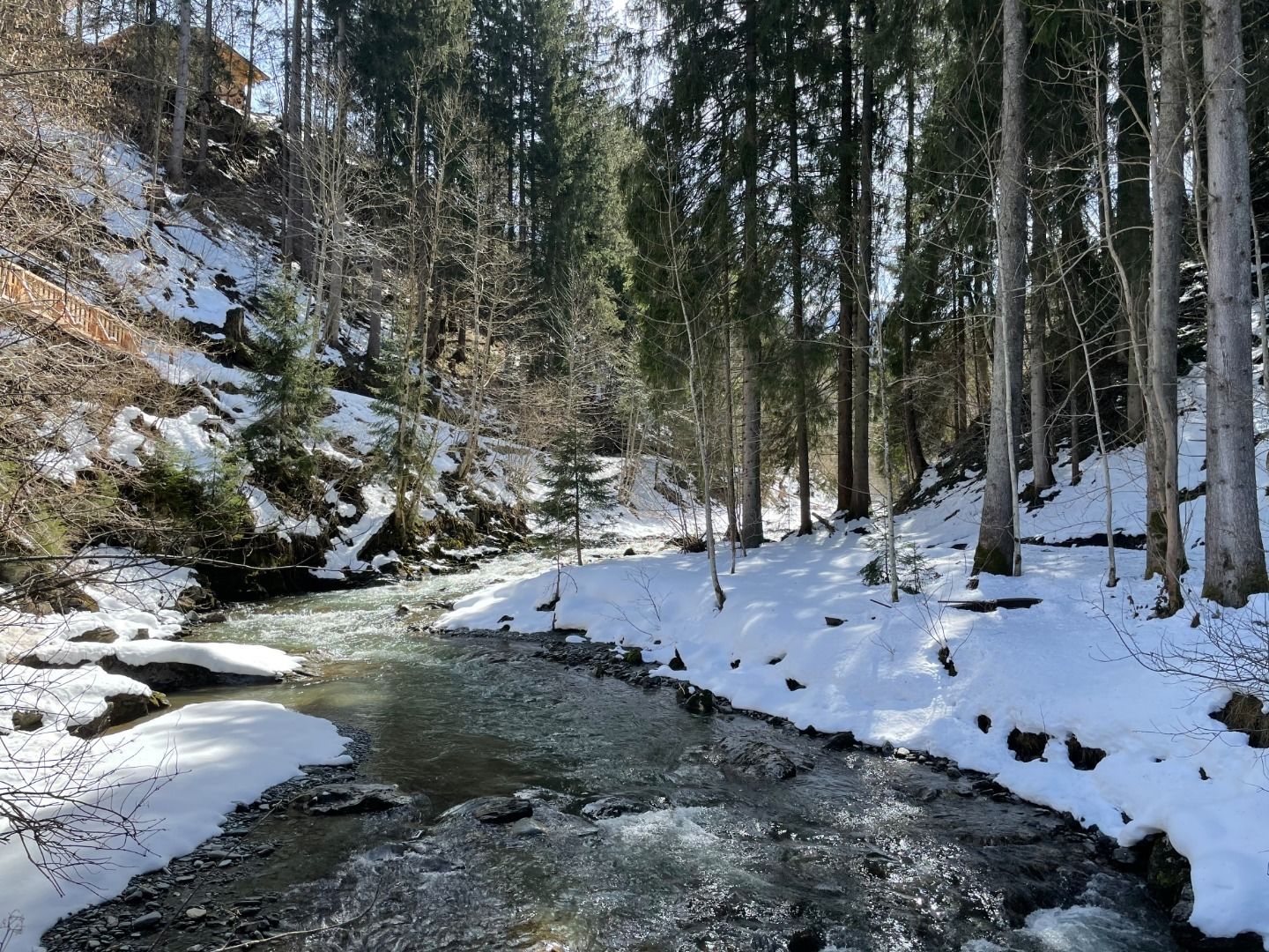
Gemeindeamt Jochberg - Kirche - Pass Thurn - Oberhausenweg - Jochberger Waldschwimmbad - Jodelbühel - Jochberg
Facts
Route
Gemeindeamt Jochberg - Kirche - Pass Thurn - Oberhausenweg - Jochberger Waldschwimmbad - Jodelbühel - Jochberg
equipment
Ankle-high walkingboots, functional mountain clothing, gaiters, spikes, a comfortable rucksack, hiking poles, snacks and drinks
Weather forecast
Today
Today
23°
/ 13°
Variable cloudiness with sunny spells and a chance of showers around noon.
Tomorrow
Tomorrow
21°
/ 13°
Mostly cloudy in the morning, then showers and sunshine will alternate.


 Erwin Haiden (34).jpg")


