 Kitzbühel Tourismus")

Vier-Seen-Runde


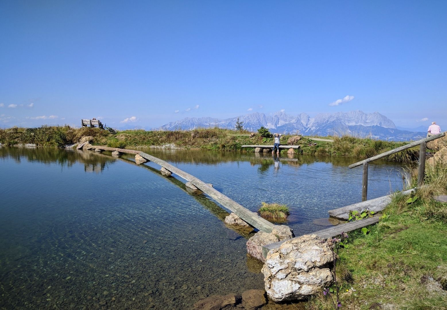
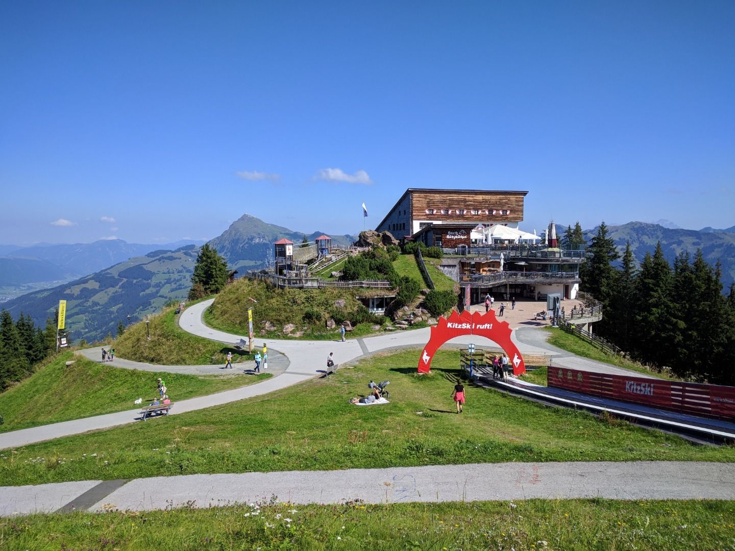
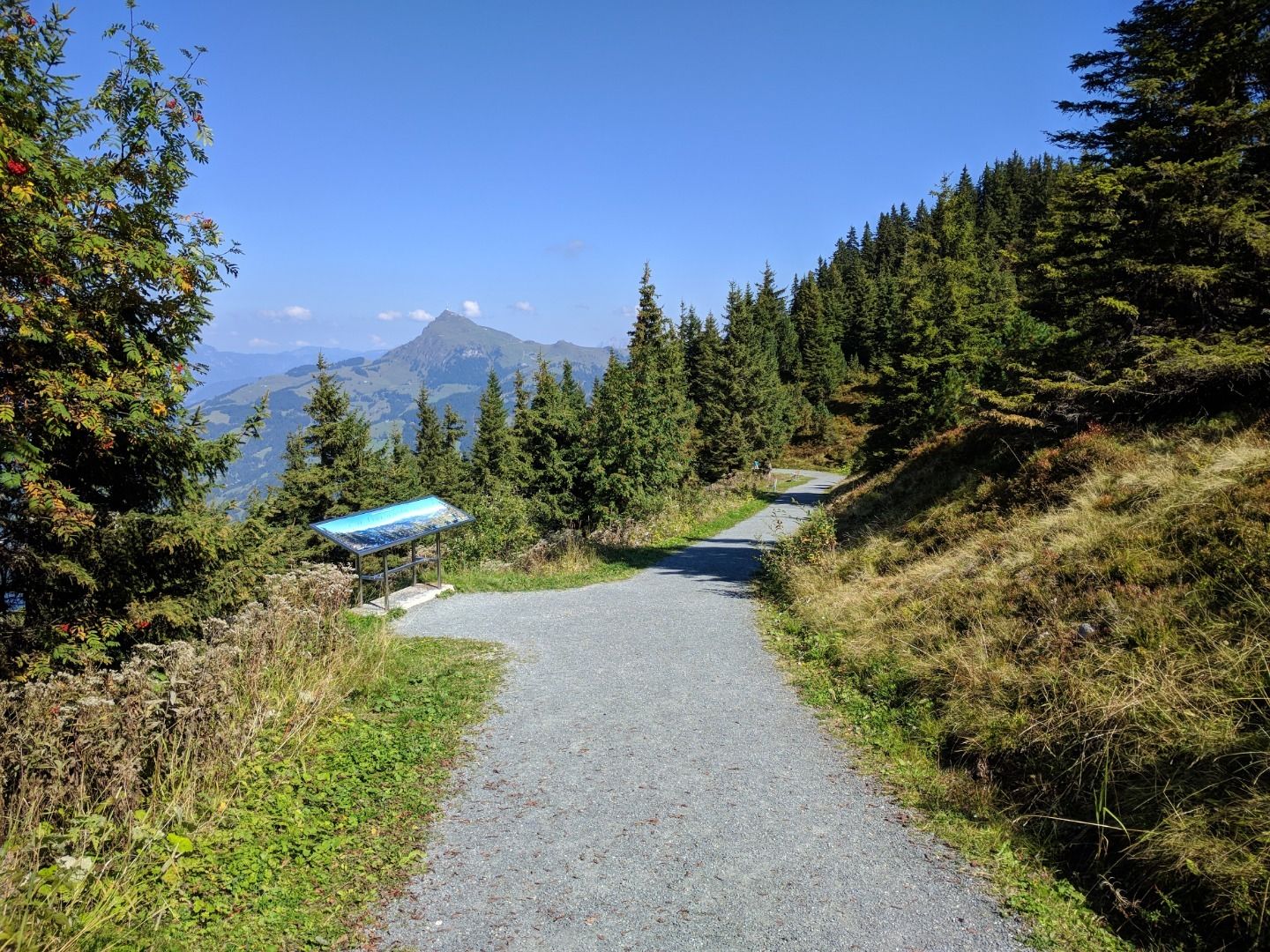
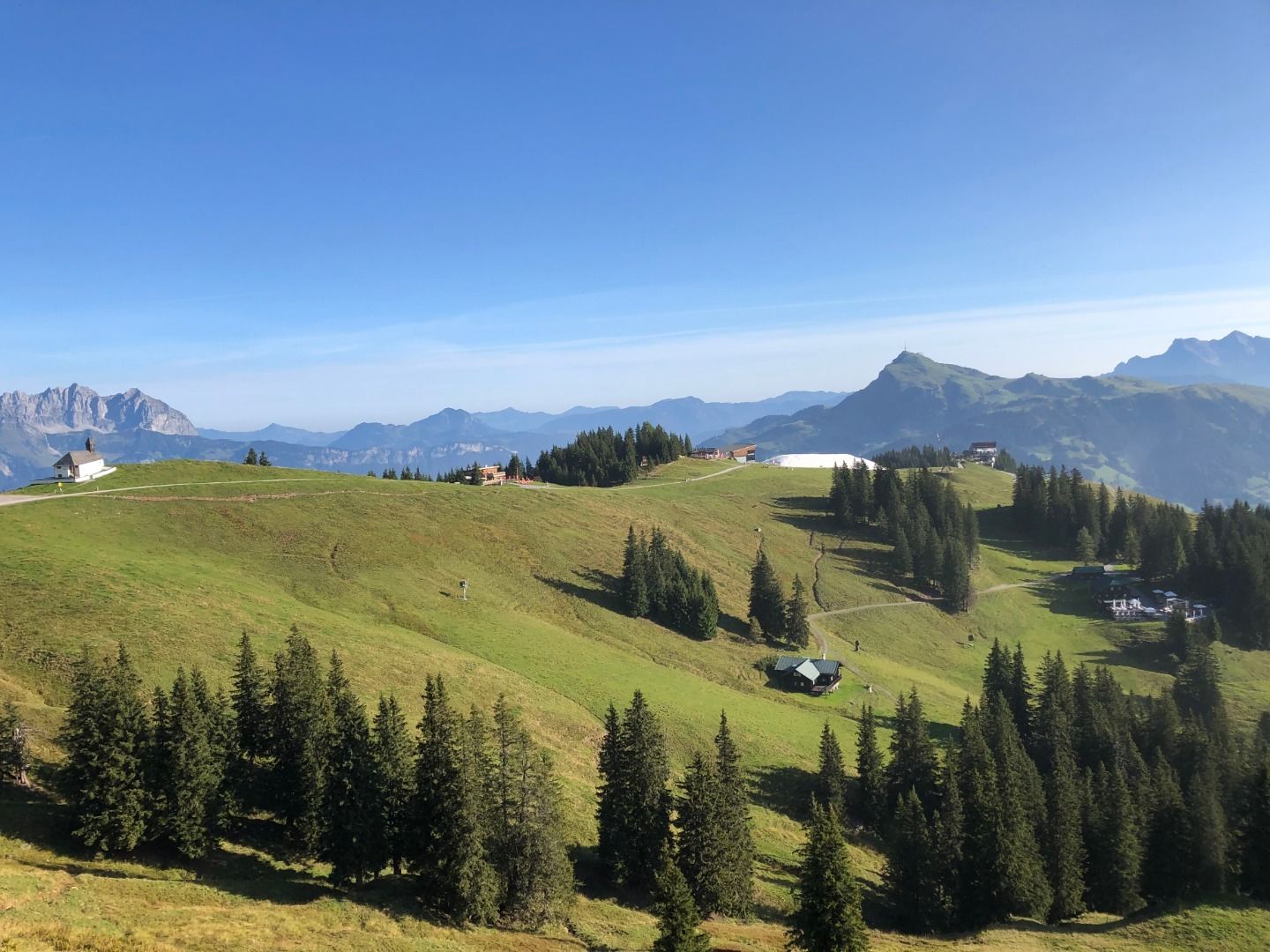
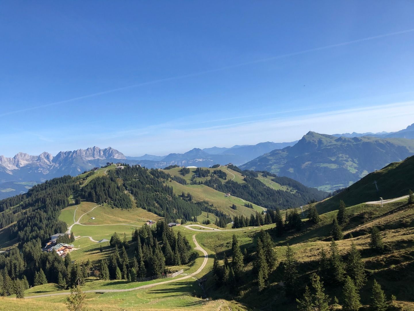
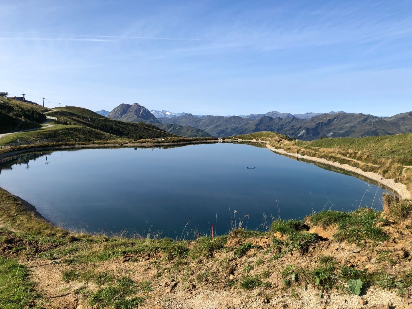
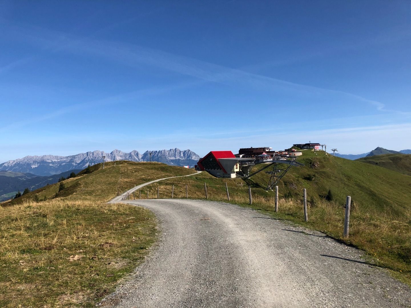
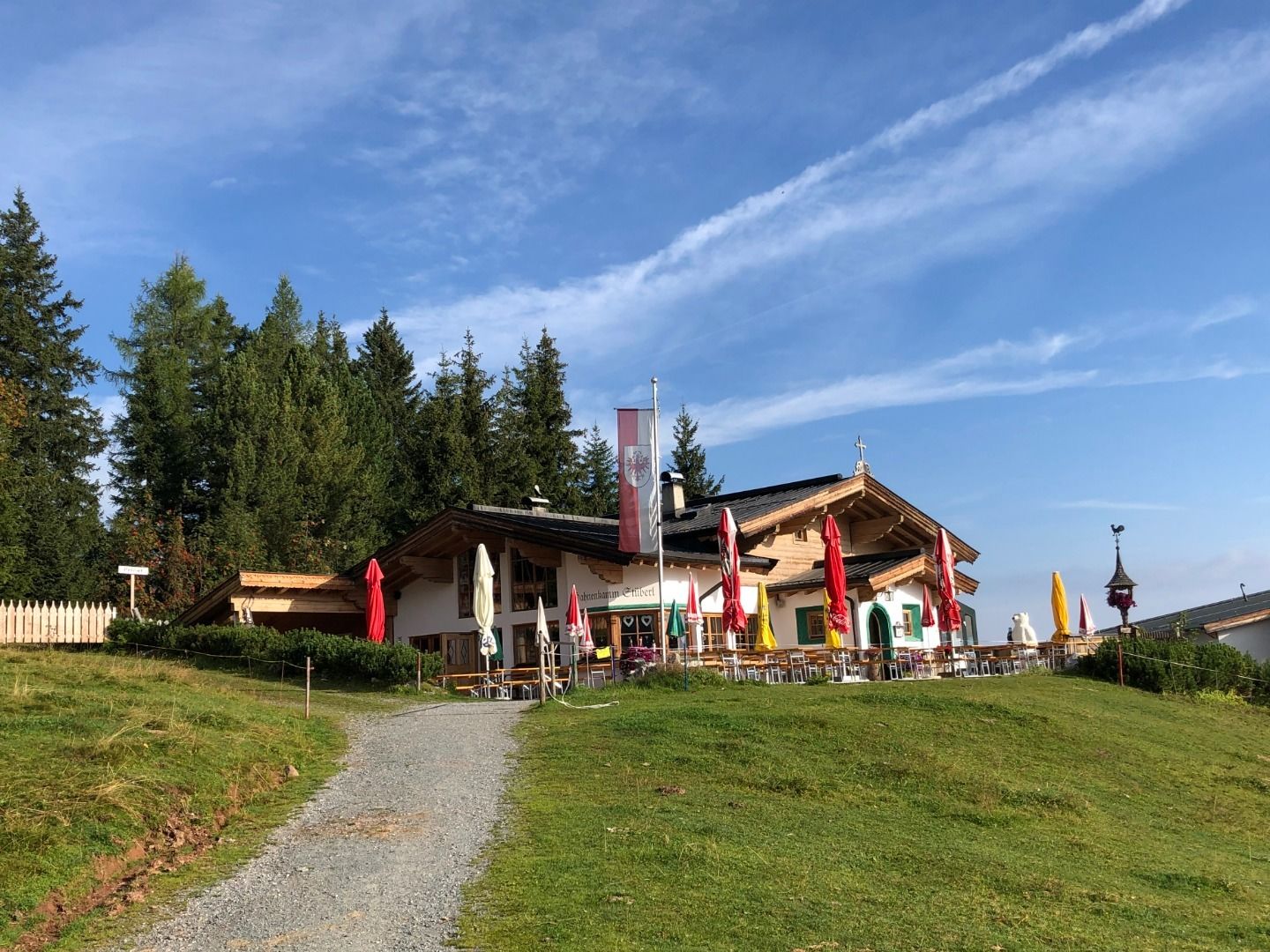
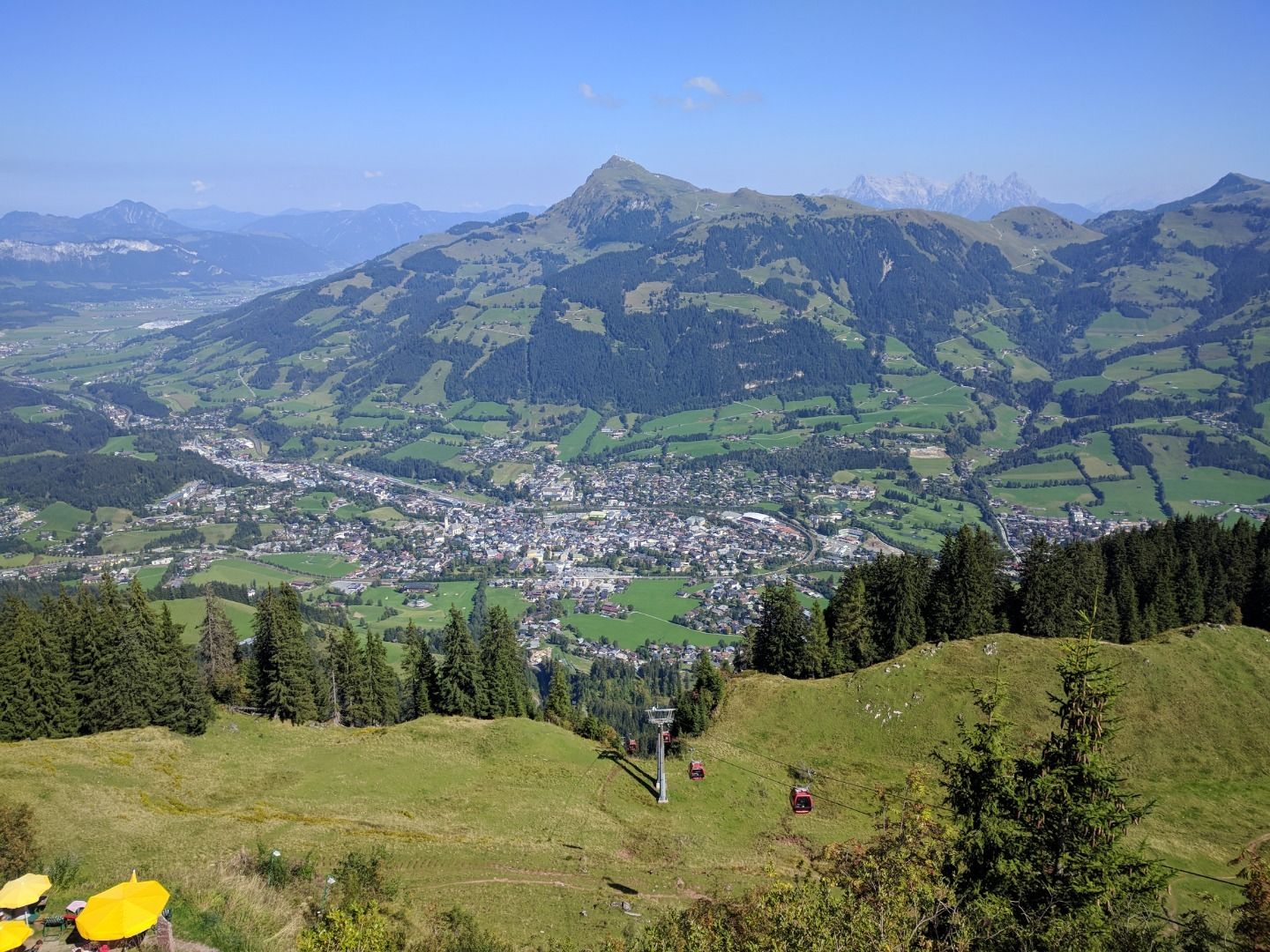
From the Hahnenkammbahn mountain station the route leads via the St. Bernhards Chapel to the Ehrenbachhöhe reservoir. Continuing along the panoramic hiking trail towards Pengelstein, you pass the Jufenalm and enjoy magnificent panoramic views from the Hohe Tauern to the Loferer Steinbergen. Then follow the Brunnsee, Pengelsteinsee and Usterkarsee whose shores invite you to linger.
Digital Hiking Pin: 4-Seen-Wanderung
Hahnenkamm Parkplatz - Schattbergsiedlung - Hausberg - Oberhausberg - Seidlalm - Seidalm Seen - Hahnenkamm - Ehrenbachhöhe - Hochbrunn - Jufenalm - Pengelstein - Pengelsteinschenke - 3 S Bahn - Usterkarsee - Pengelsteinsee retour die gleiche Wegstrecke bis zur Hahnenkamm Bergstation
Asphalt, gravel, Alpine paths, meadow paths
ankle-high, sturdy shoes, functional clothing suitable for mountaineering, rain protection, sun protection, plenty of drinks, comfortable rucksack, hiking poles, snack
next bus stop: Kitzbühel Hahnenkamm next train station: Kitzbühel Hahnenkamm
Dry and sunny throughout the day with hardly any clouds.
Dry and bright with plenty of sunshine, clouds will be rare.


