 Kitzbühel Tourismus")

Astberg-Bichlach Circuit, Tour Nr.2


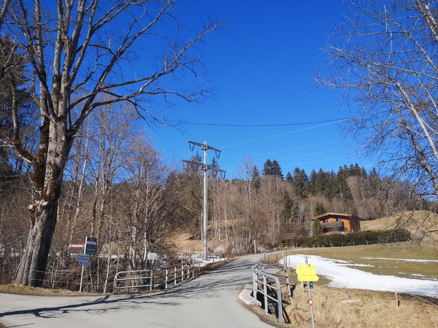
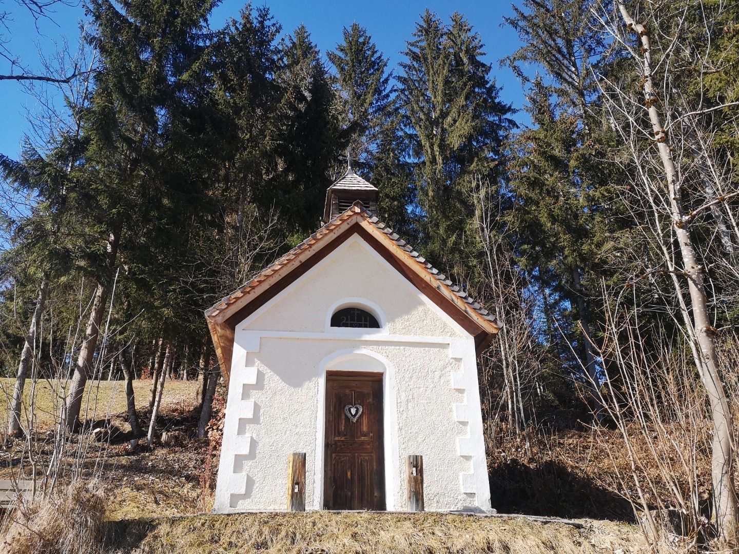
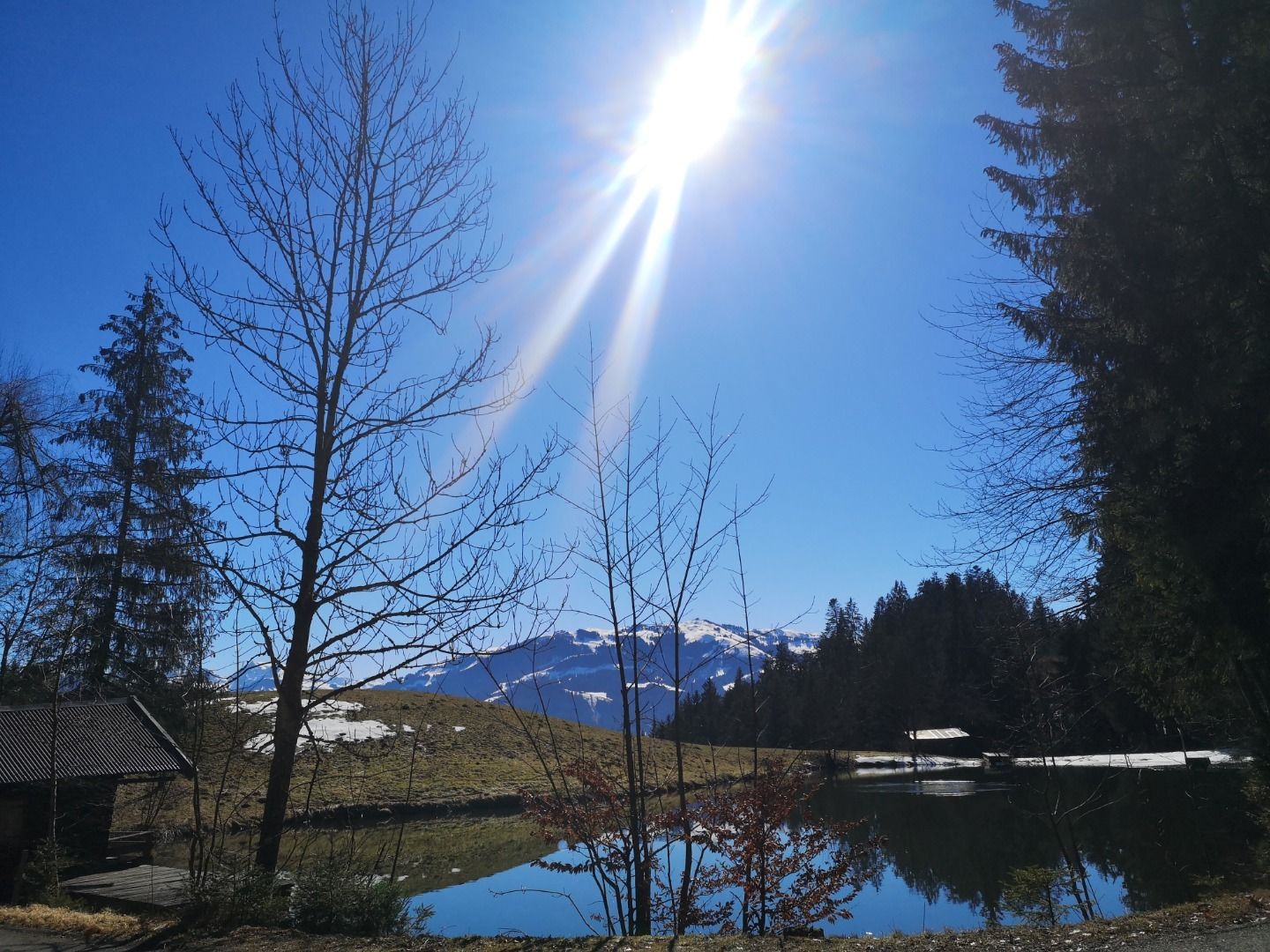
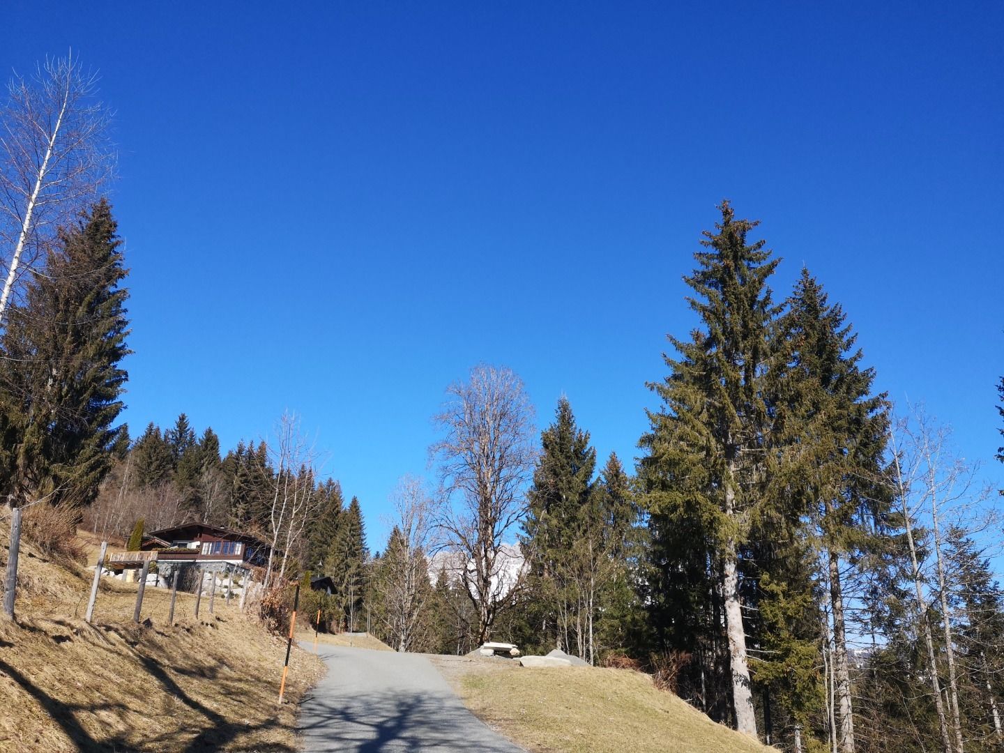
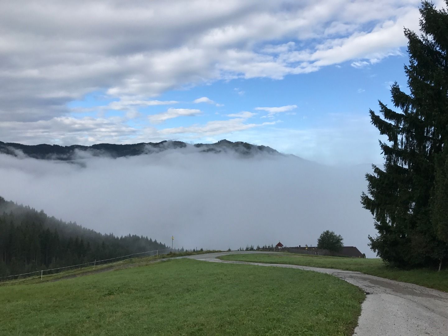
From Kitzbühel town centre take the Schwarzseestraße to Reith. 400 m after the football field in Reith turn left onto the Astbergweg. From there (755 m) you make an elevation gain of about 425 metres on a quiet, narrow road with a constant ascent (12 %) winding up the Astberg (1,180 m). Keep left at both of the two distinctive crossroads (“Hollenauer Kreuz” and “Sonnenlift”). Beautiful farm houses. Splendid views of the Kitzbühel mountains: the nearby Wilder Kaiser, the Kitzbüheler Horn, the Hahnenkamm and the Große Rettenstein. To the top of the pass - Bergbauernhof “Kathen” - a short and trouble free gravel track. A rapid and winding descent to the mountain village of Ellmau (820 m). Take the side road on the right side of the valley to Going and Stanglwirt. Then head to Reith. Before the bridge at Gasthof Reinache (722 m, km 21.7) turn onto the Astbergweg and over the “kleinen Astberg” (835 m) to Reith (762 m). In the centre of Reith turn left towards the Hotel Pointner, pass the farms “Waching”, “Kleinlehen” and “Rummeln” (850 m) and continue onto Oberndorf (Schmidboden). World-class panorama! Cross over the valley at the “Rass & Dorner” and follow the Römerweg back to Kitzbühel.
road bike, helmet, clothing according to weather, light wind jacket recommended, sun blocker and sufficient drinks
Dry and sunny throughout the day with hardly any clouds.
Dry and sunny throughout the day with hardly any clouds.

