 Kitzbühel Tourismus")

Höhenweg Reith Nr. 62
.
Hike
· Hiking & mountain tour
Medium
·
Status:
Partially Open


Höhenweg Reith Nr. 62
.
Hike
· Hiking & mountain tour
Medium
·
4:00 h
11.02 km
668 m
668 m
Status:
Partially Open
Tour Details
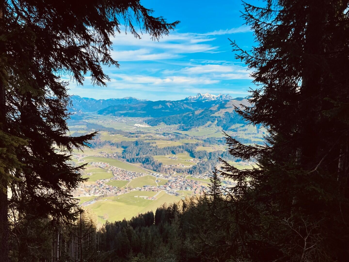
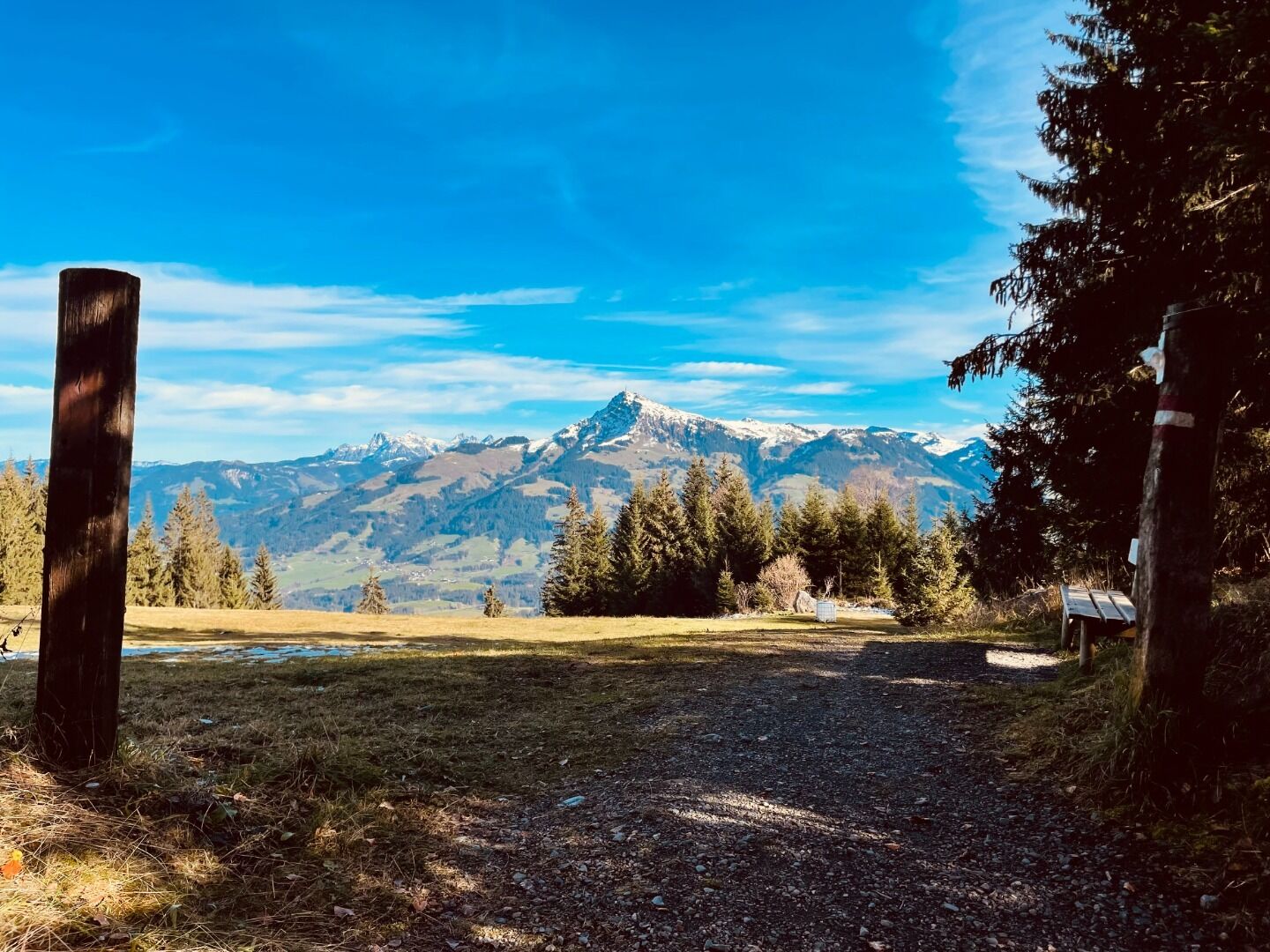
Highest point
1296
m
Starting point
Kirche Reith
Endpoint
Kulturhaus
Description
.
Facts
Round trip:
Route
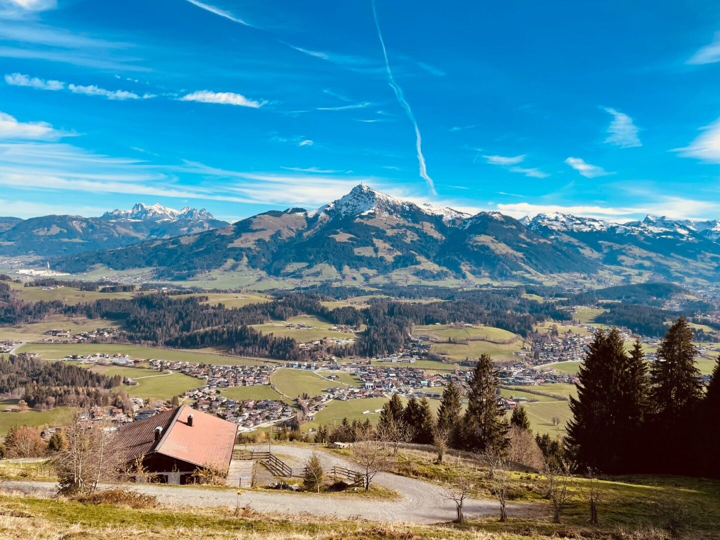
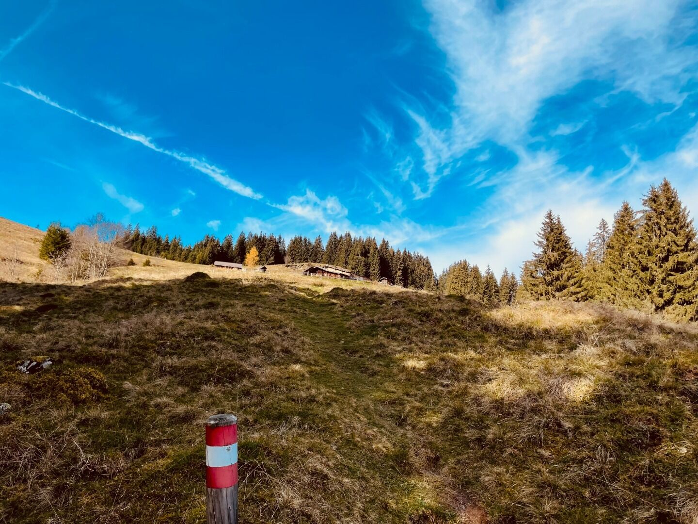
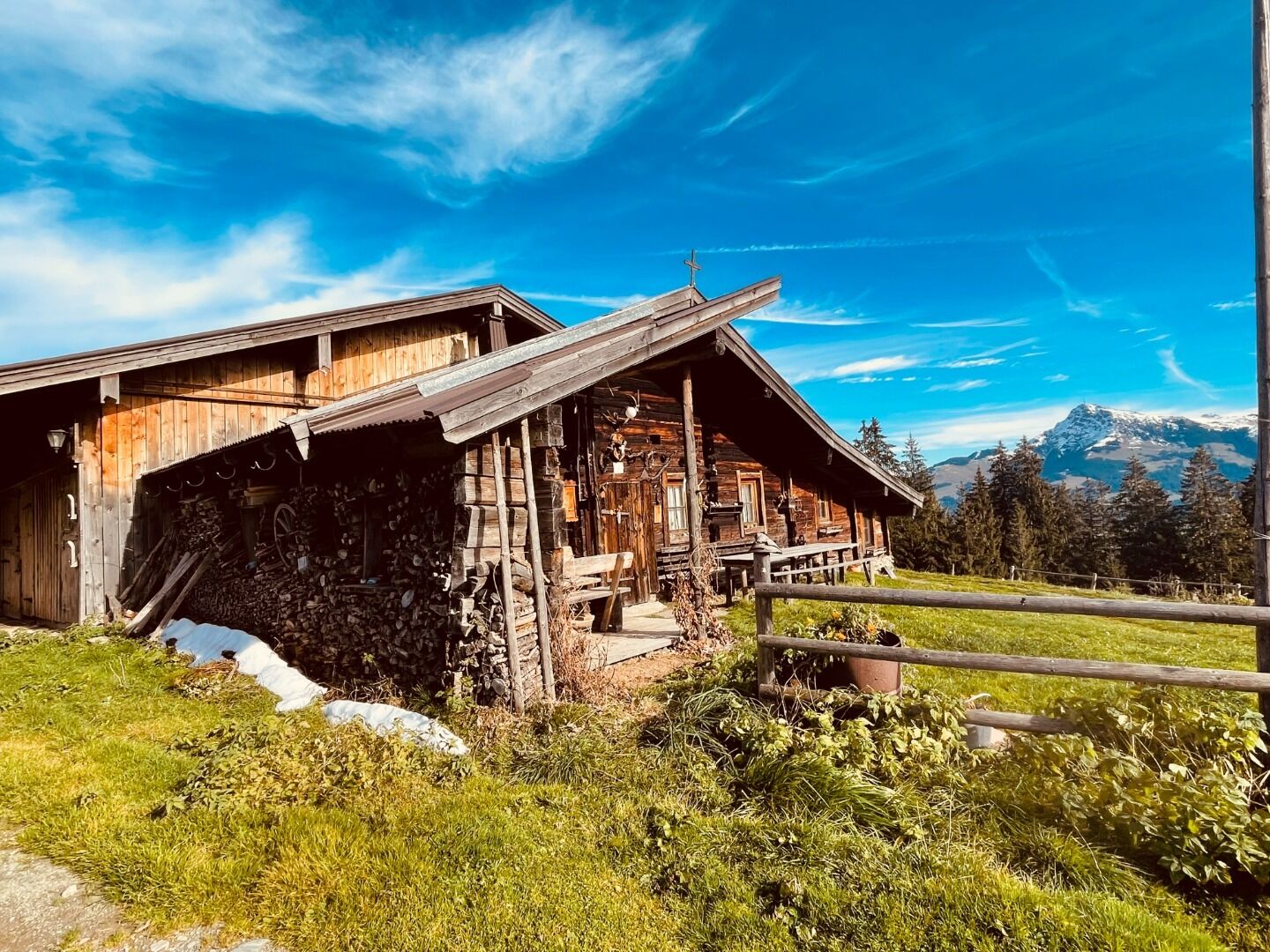
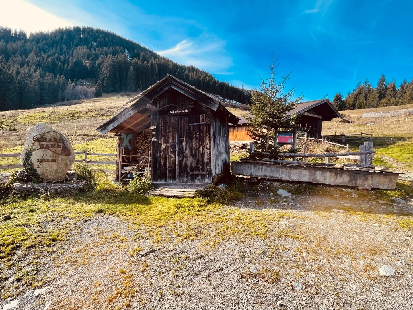
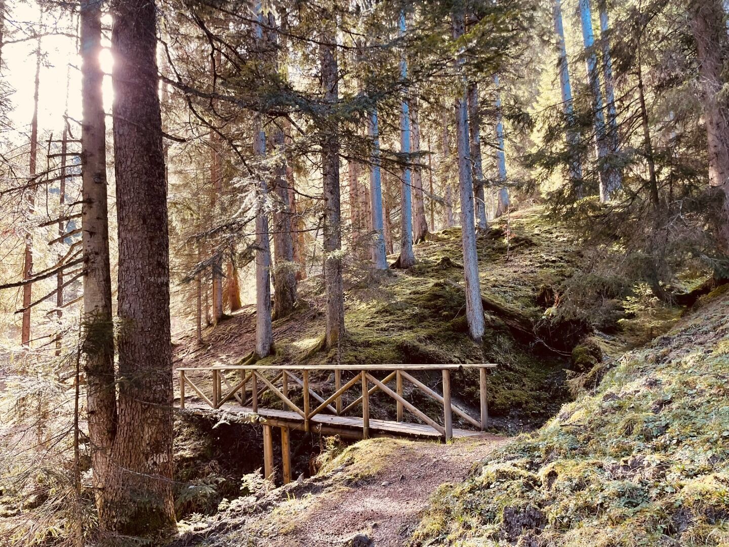
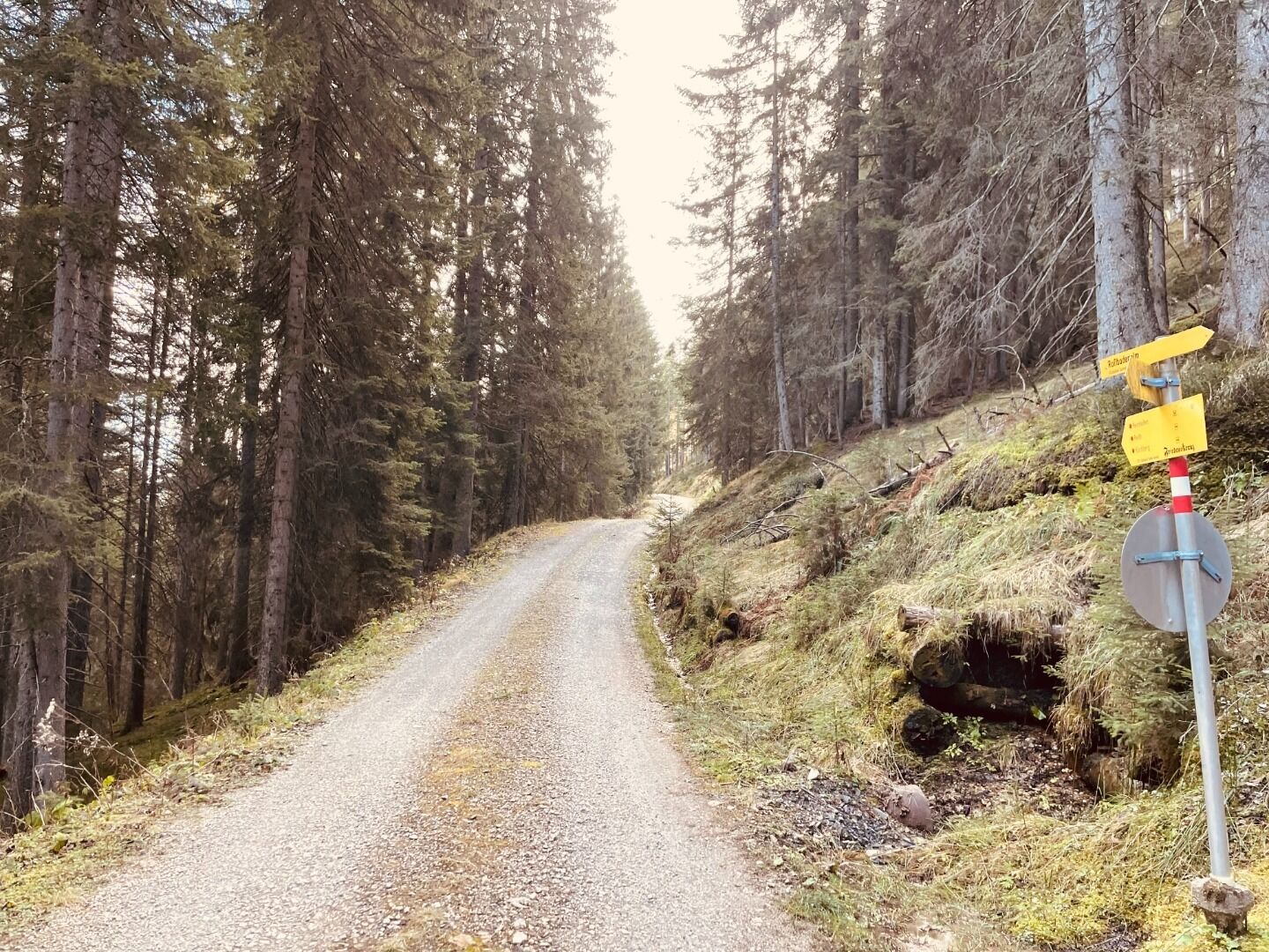
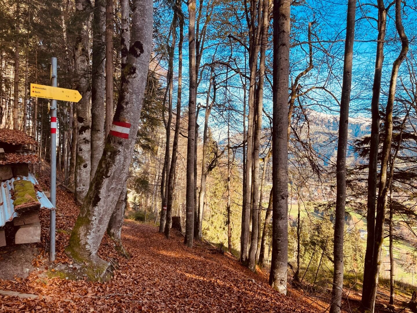
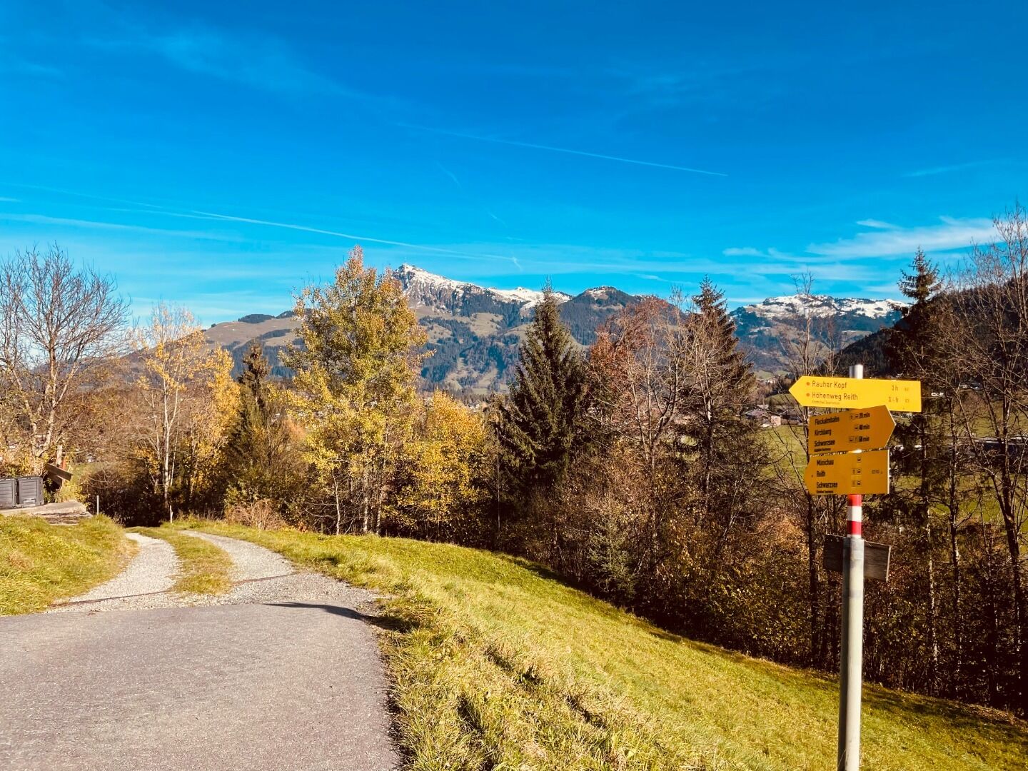
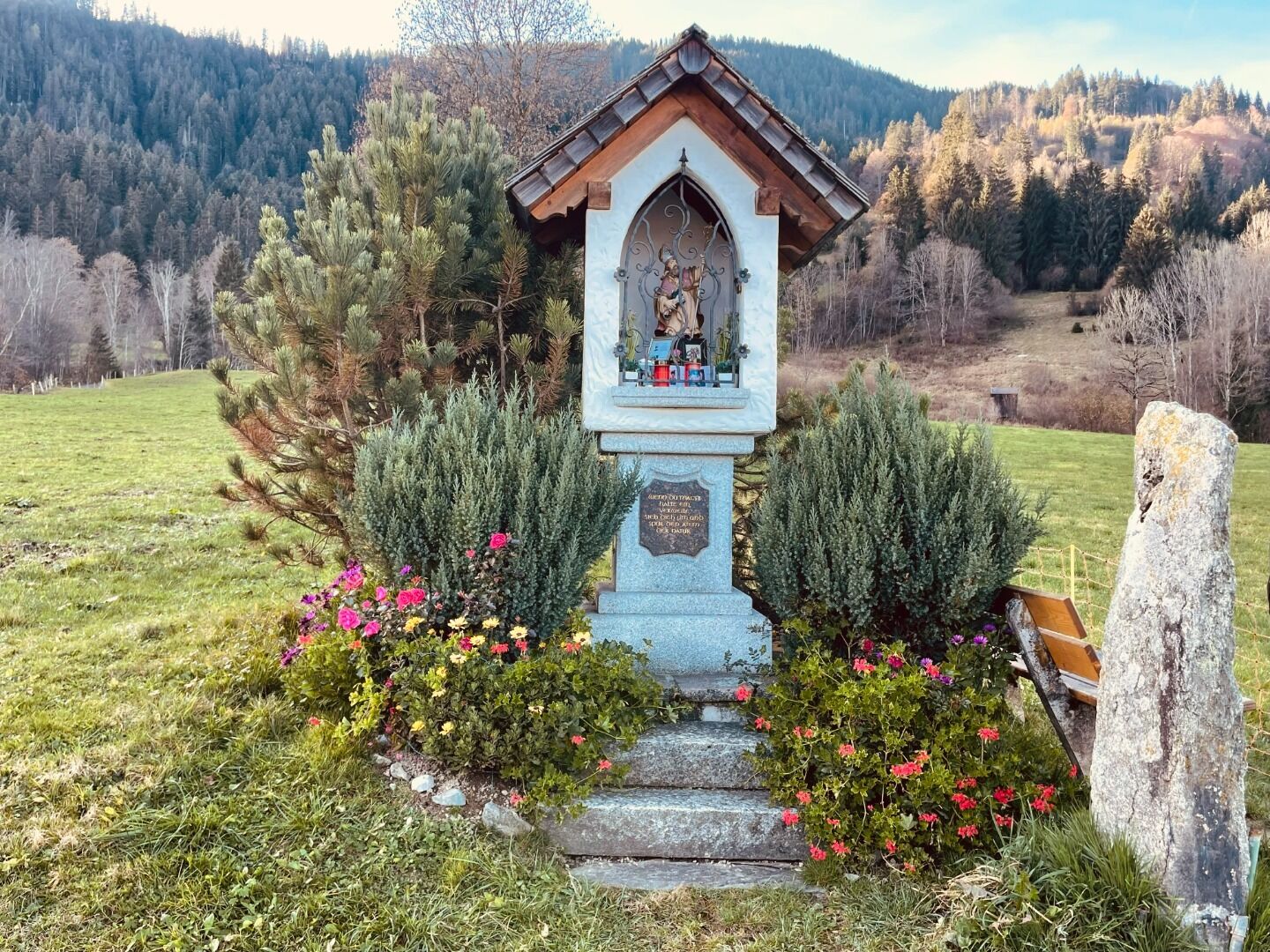
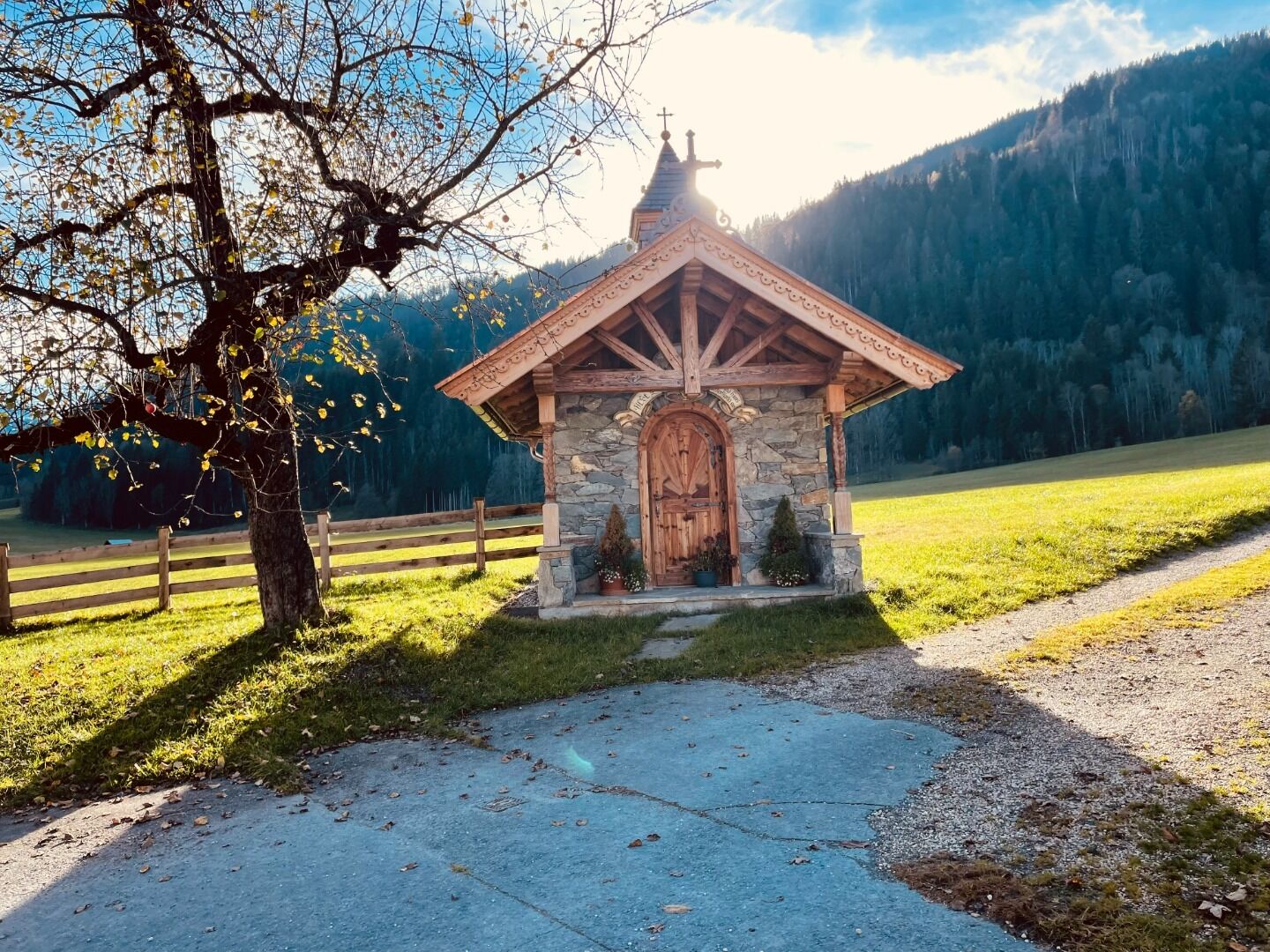
Reith - Veitlkapelle - Rauhen Kopf - Scharlwandalm - Hennleiten - Reith.
Weather forecast
Today
Today
27°
/ 9°
Dry and sunny throughout the day with hardly any clouds.
Tomorrow
Tomorrow
27°
/ 8°
Dry and partly sunny throughout the day, with cloudy periods from time to time.


