 Kitzbühel Tourismus")

242 | Branderalm-Gebraalm


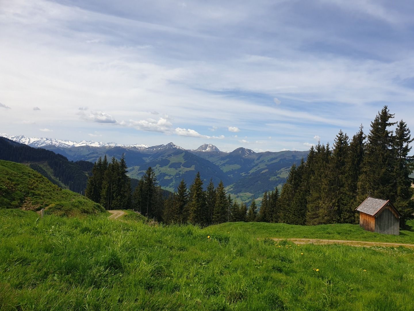
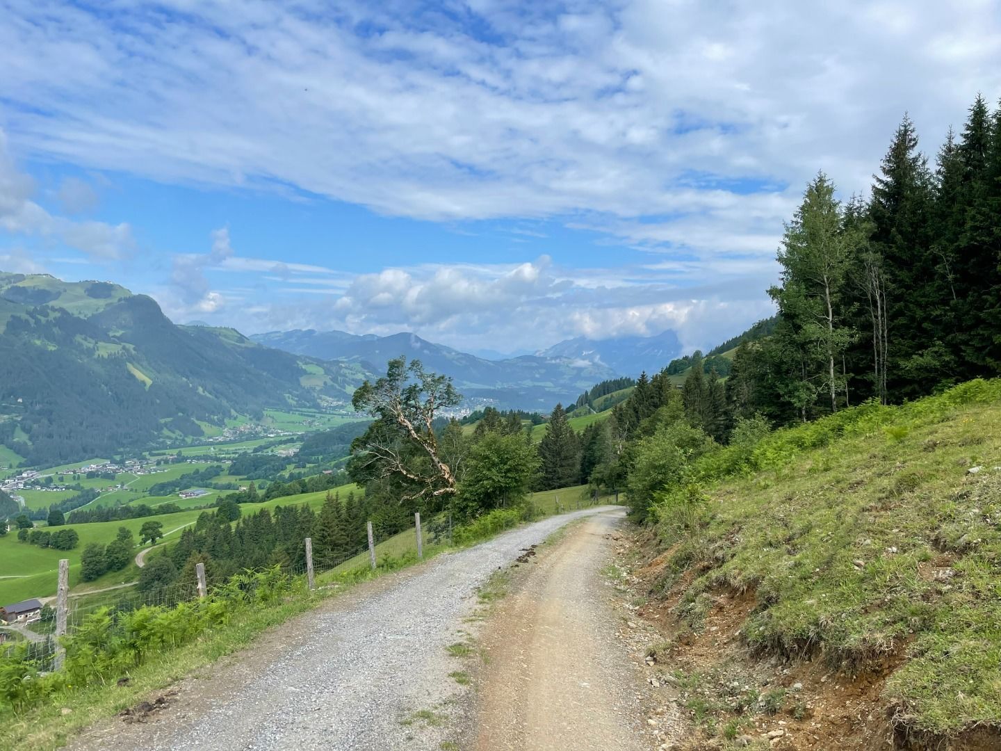
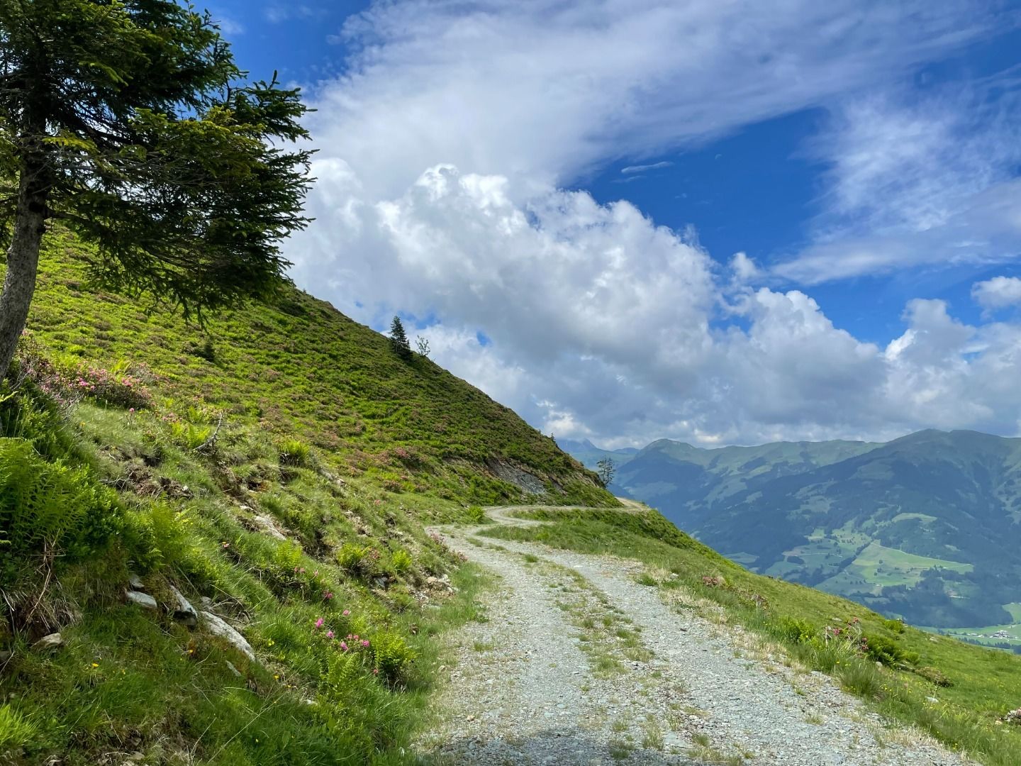
Starting at the Brander-Reibe car park, the first stretch is on tarmac up to the Branderhof at the wildlife park. From there the road turns to gravel, weaving through the alpine meadows past the Branderalm and across to the Gaisberg-Sattel. The route then leads across the mountain just down from the ridge, over to the Gebrajoch. From there starts an 800m long pushing section, through the meadows past the ruins of the Knappenstube (a relic of the old mining industry). The route joins back onto a gravel road leading past the Gebraalm back to the original route which you follow back to the starting point. The Brandnerhof at the wildlife park is a great place to stop for refreshments.
Dry and partly sunny throughout the day, with cloudy periods from time to time.
Mostly sunny throughout the day with a chance of showers towards evening.


