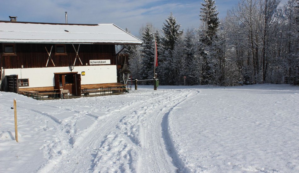
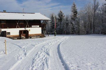
Achenstüberl
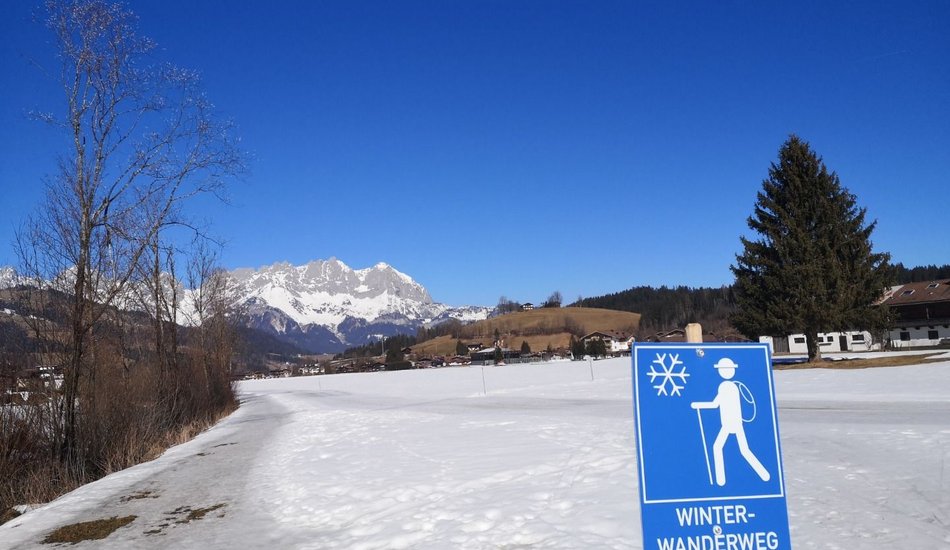
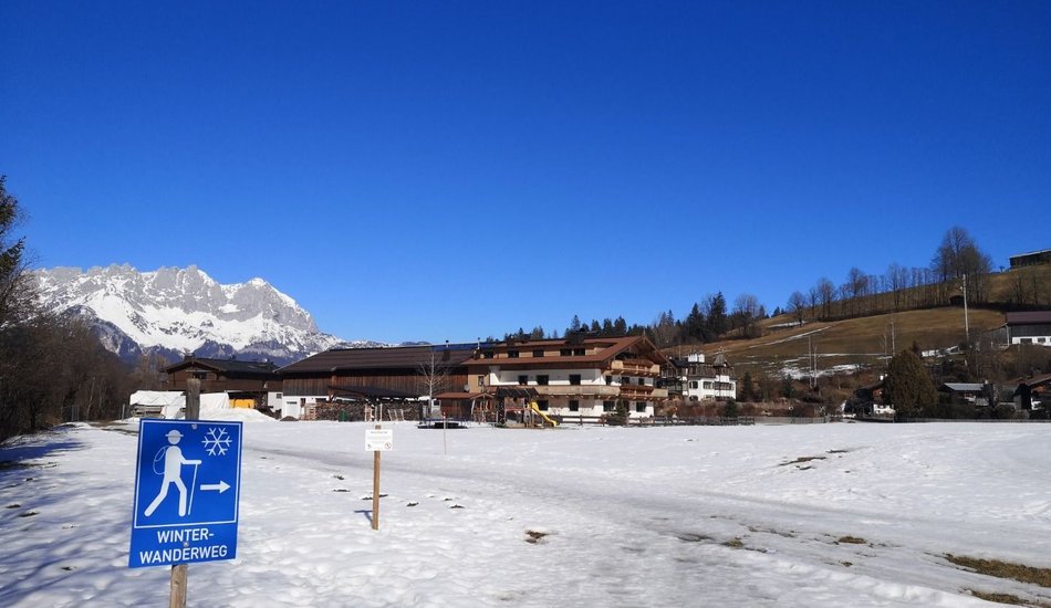
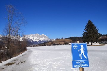
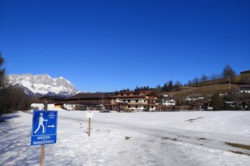
Winter walking


Description
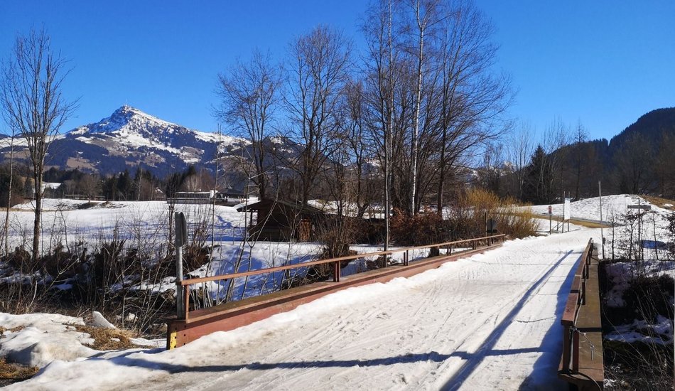
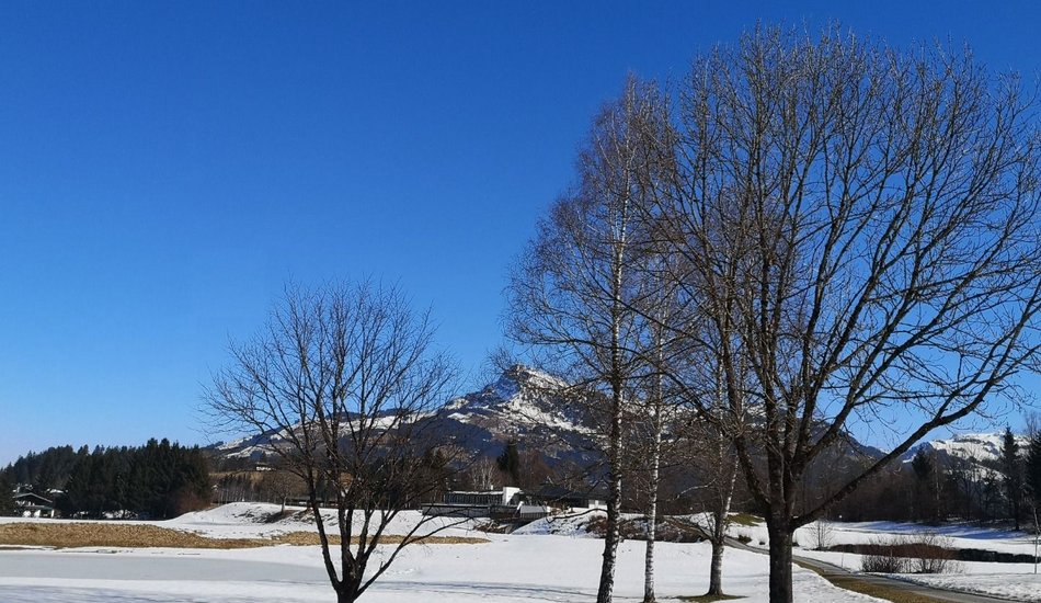
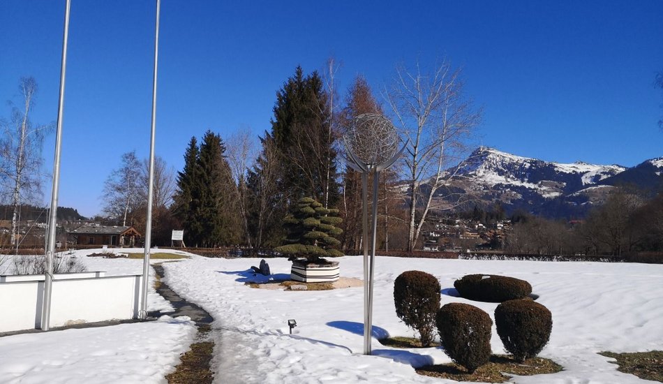
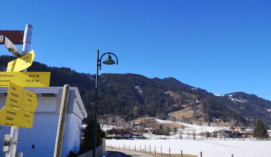
Leisurely hike along the Reither Ache.
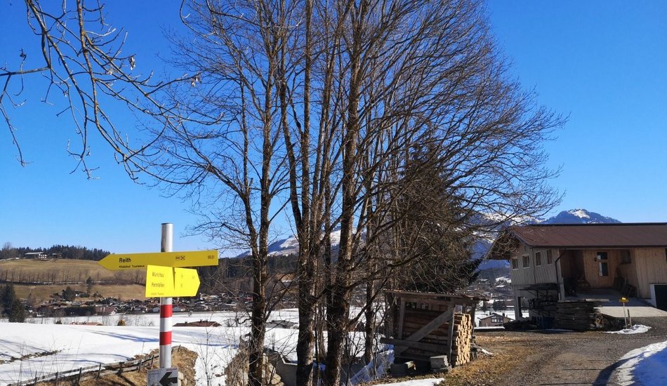
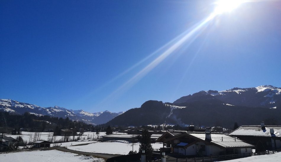
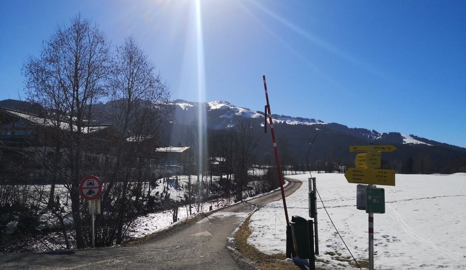
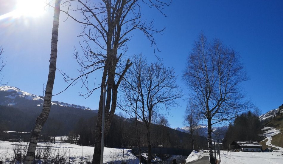
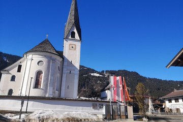
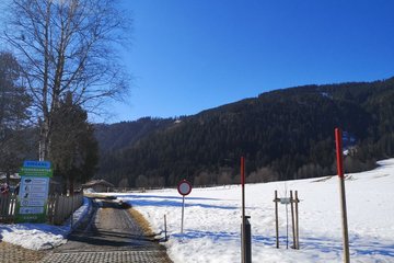
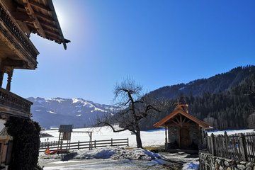
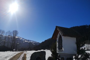
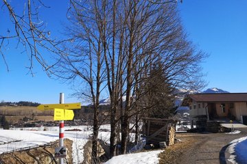
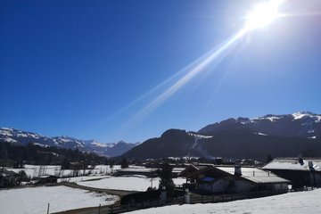
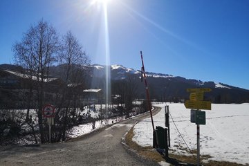
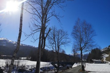
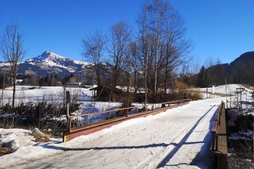
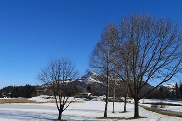
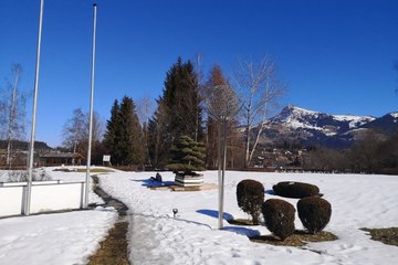
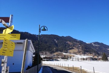
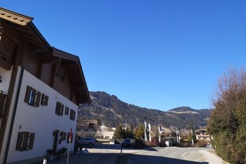
The hike starts at the Wander-Infoplatz in Reith and leads us past the church, via Hallerndorf, to Münichau. from there we cross the wintery snowy golf course Kitzbühel Schwarzsee Reith, to the sunny Achenstüberl directly at the cross country ski trail. The Achenstüberl is perfect to linger a little in the sun. Back you hike, constantly with the Wilder Kaiser in view, via Griesbach and Hallerndorf.
equipment:
Ankle-high walkingboots, functional mountain clothing, gaiters, spikes, a comfortable rucksack, hiking poles, snacks and drinks

Events
Loading...
Up to date
Loading...
Loading...
Loading...
Accommodation
Accommodation
Loading...