
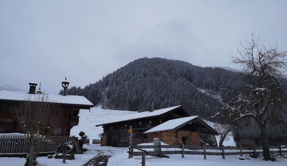
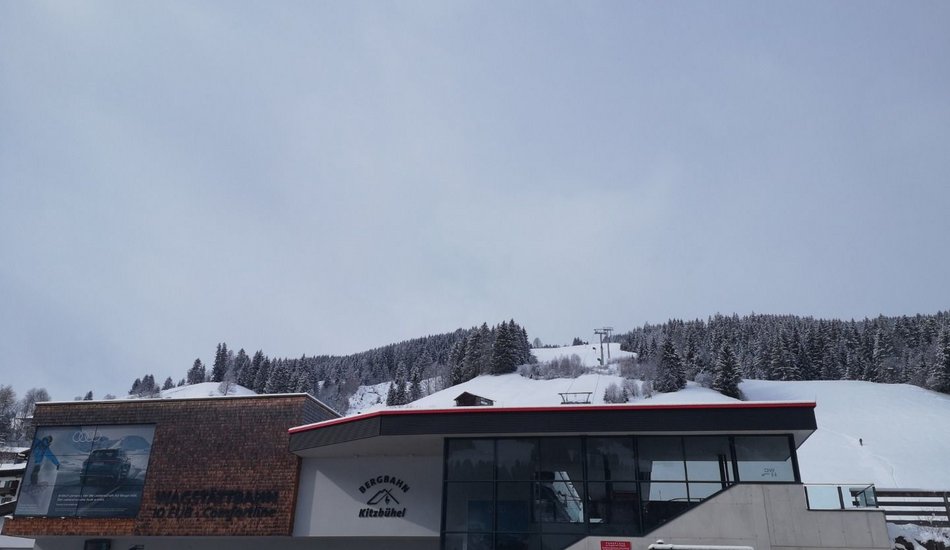
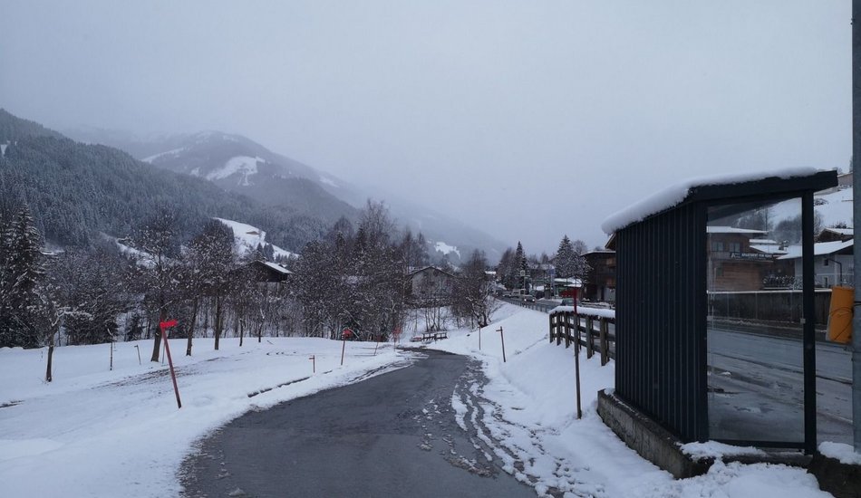
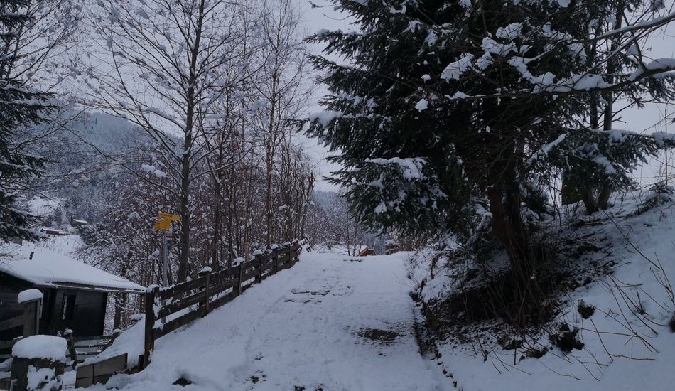
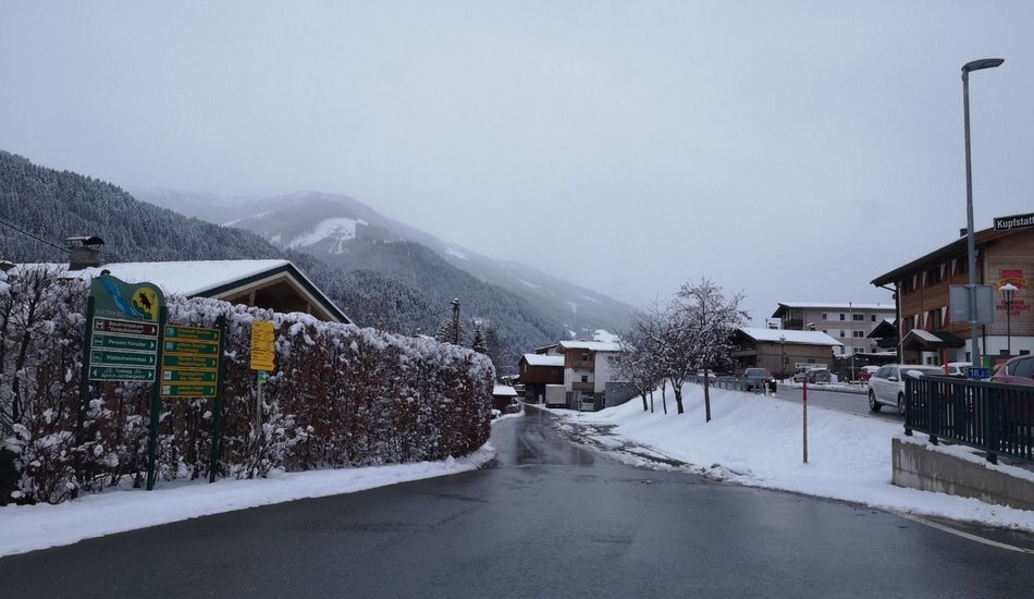
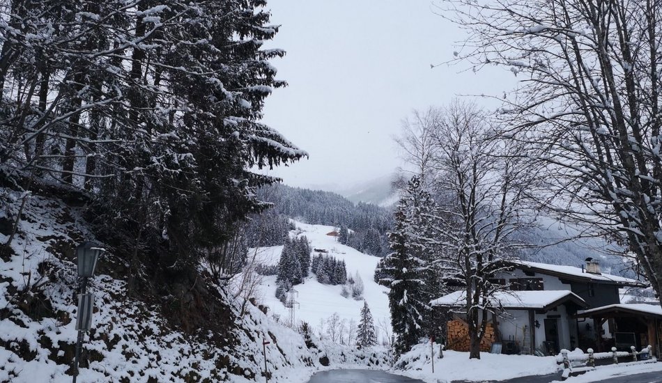
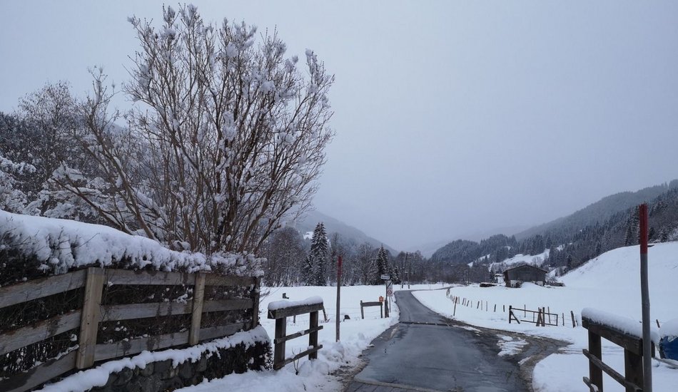
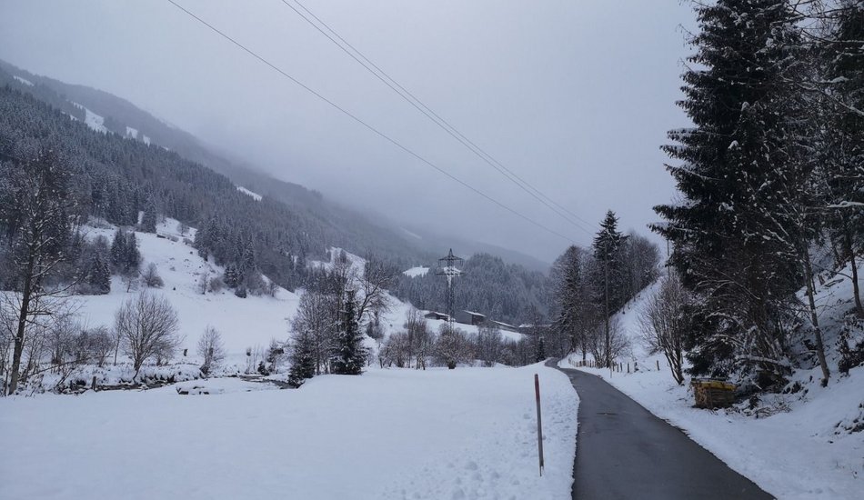
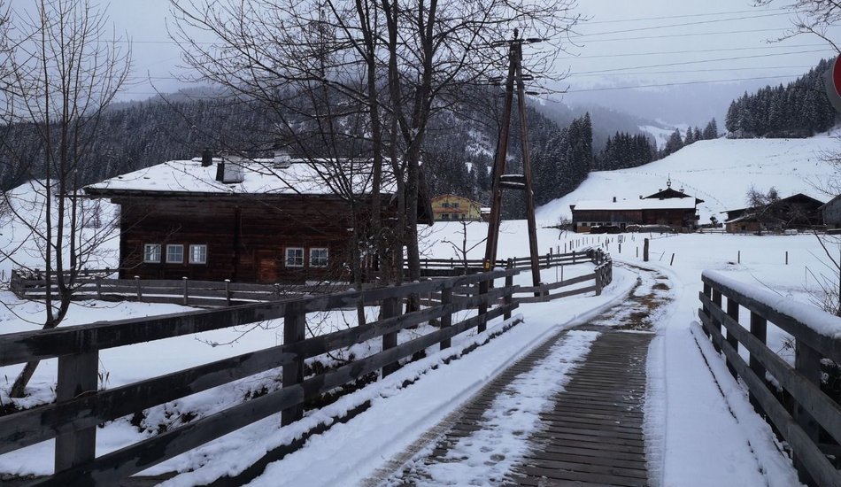
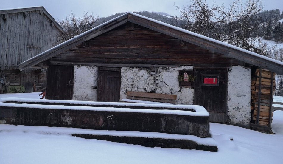
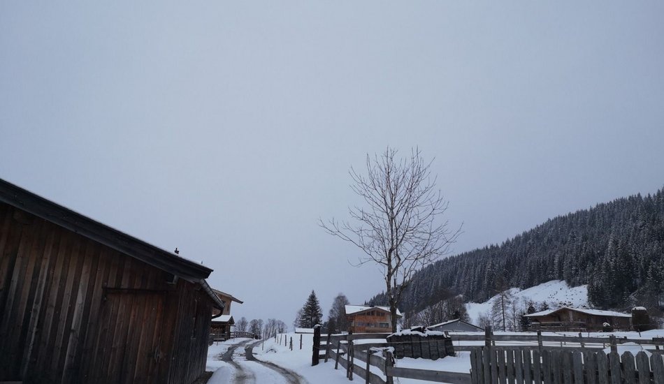
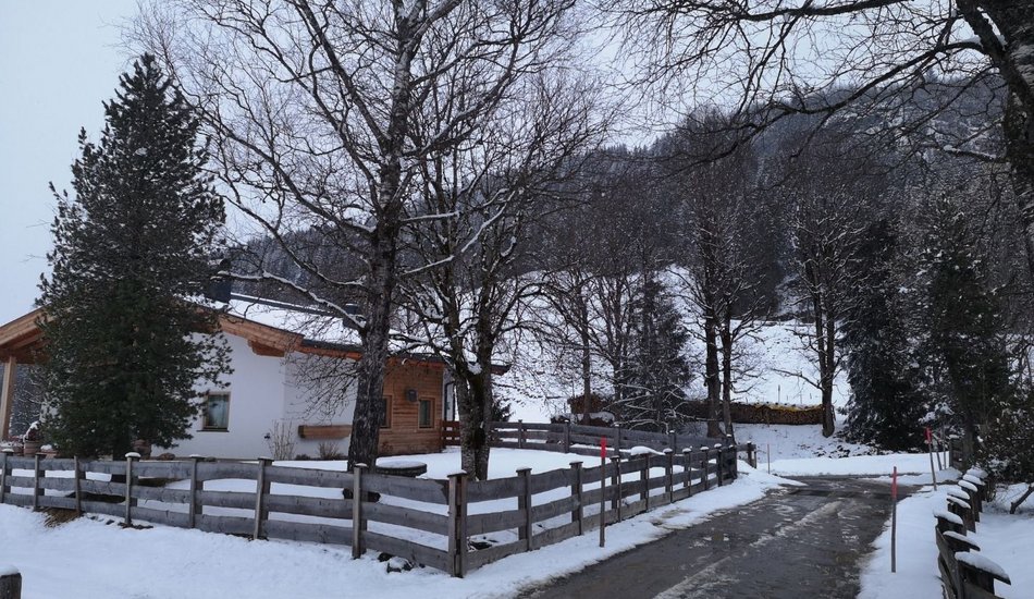
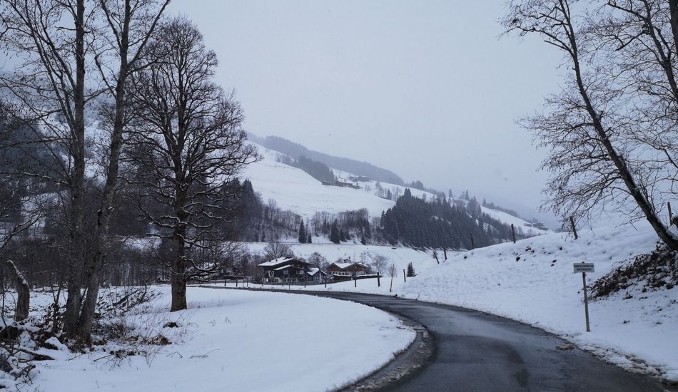
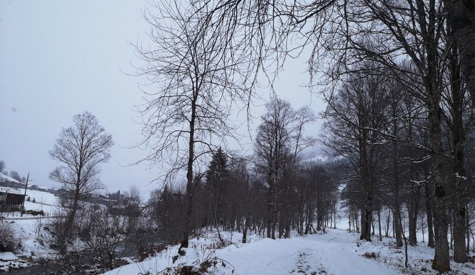
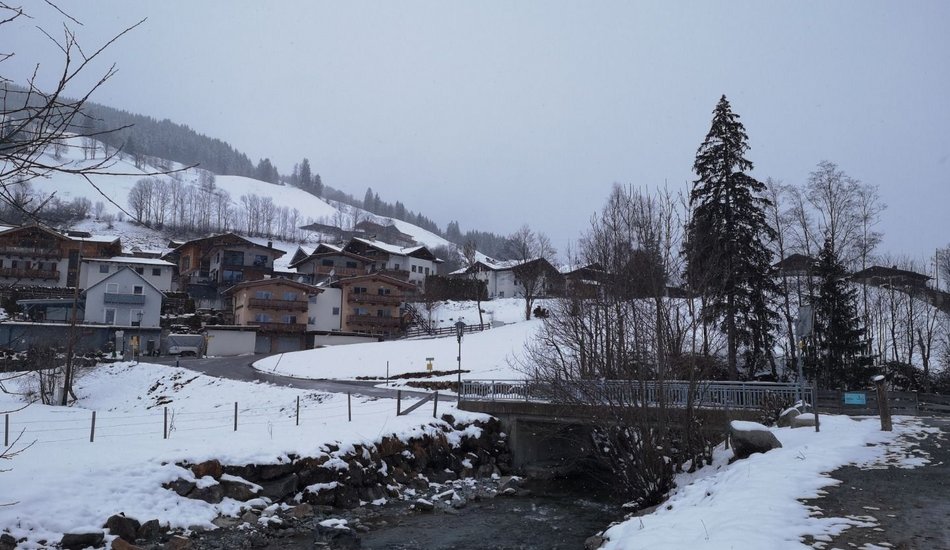
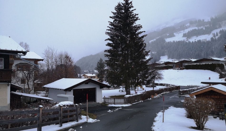
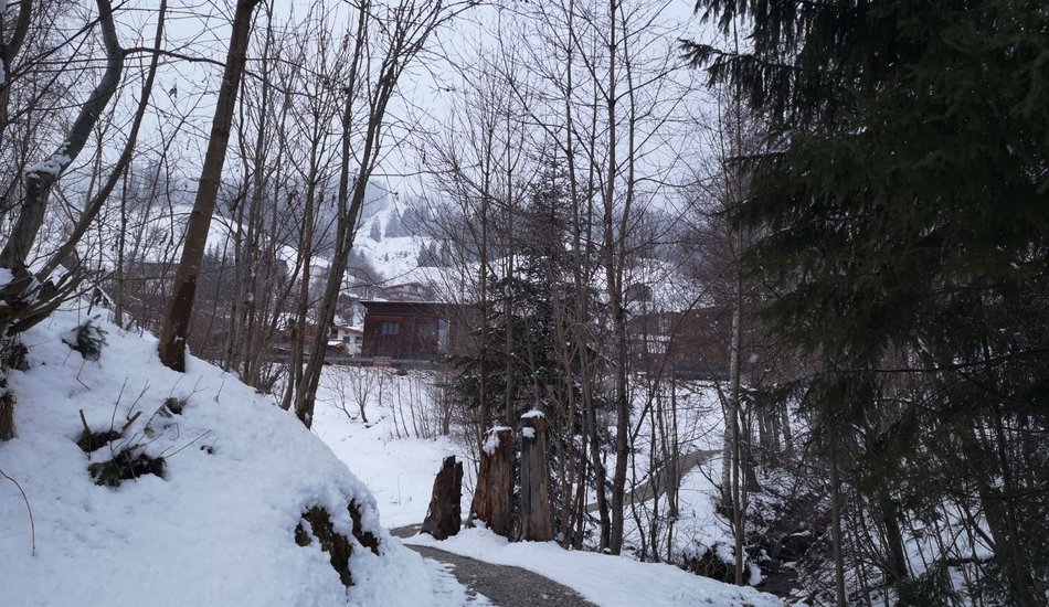
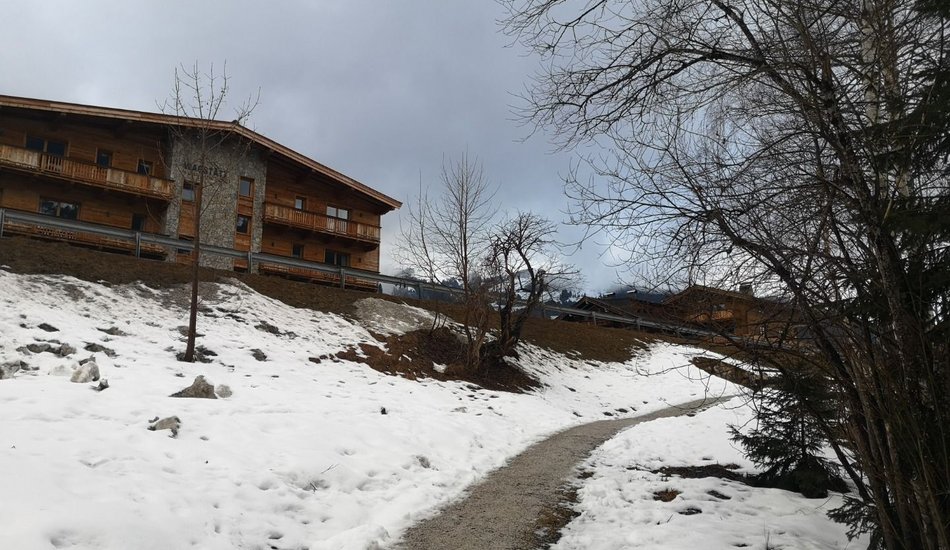
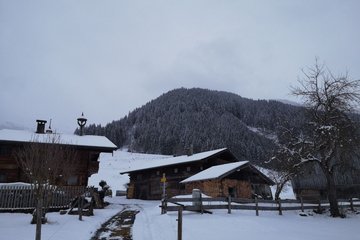
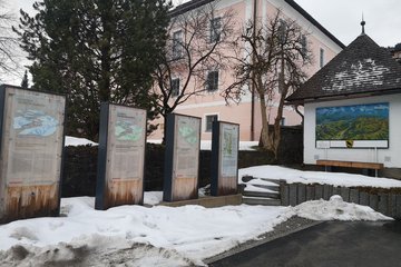
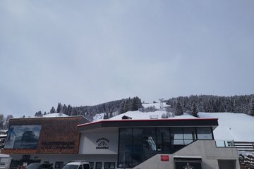
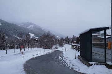
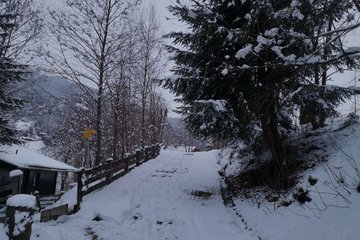
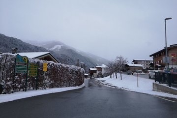
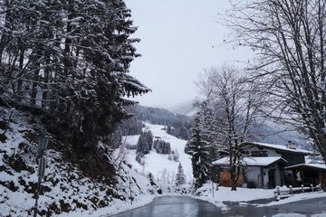
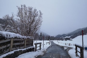
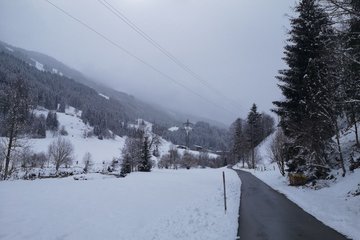
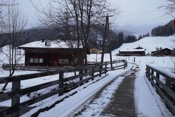
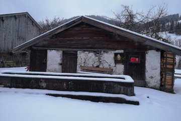
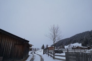
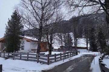
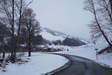
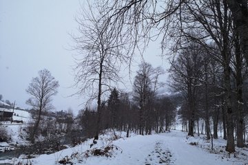
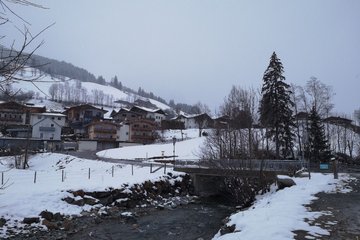
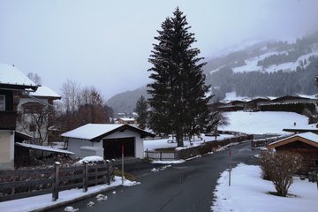
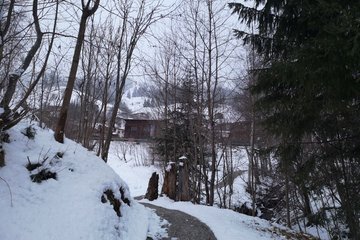
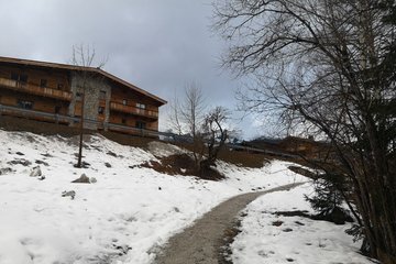
From the Jochberg hiking information point, the path leads towards Jochbergwald, passing the parish church dedicated to Hl. Wolfgang, a magnificent Baroque building by Kassian Singer (1748-1752). At the Wagstättbahn, we cross the road and follow the path to the right towards Paß Thurn. We hike through the settlement until we turn into the Weg der Au. Along the Auweg, we walk to the soothing sound of flowing water as far as the Schradl Brücke, cross it and walk past old, stylish farmhouses. We follow the path back to our starting point.
Auweg
Winter walking
Description
Route:
Municipal office Jochberg - Church - Alte Wacht - direction Pass Thurn - Römerweg - Askarn - Schradler - Jochberg
equipment:
ankle-high, sturdy footwear with treaded soles, telescopic poles

Events
Loading...
Up to date
Loading...
Loading...
Loading...
Accommodation
Accommodation
Loading...