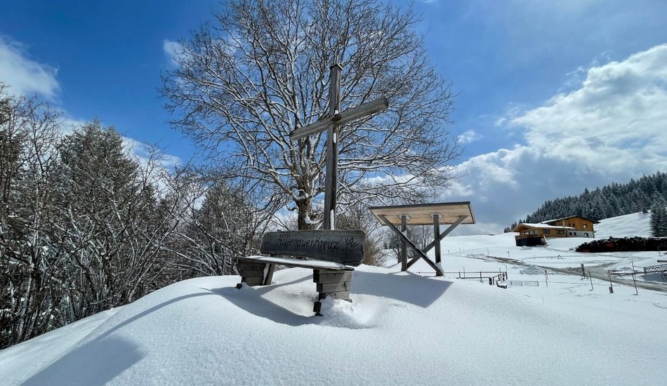
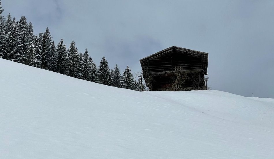
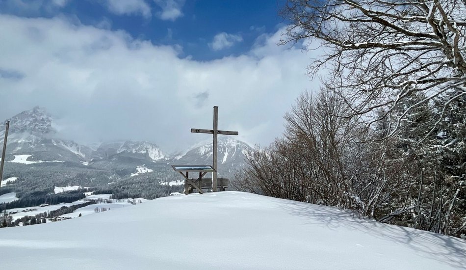
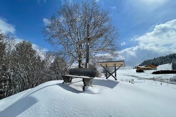
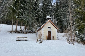
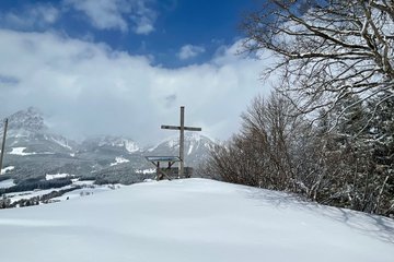
Hollenauer Kreuz
Winter walking


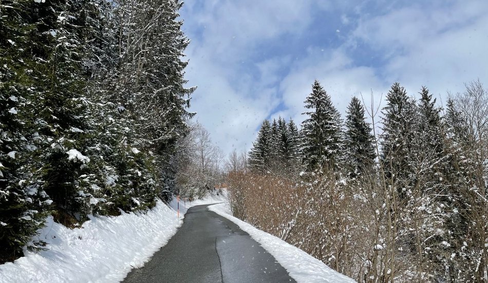
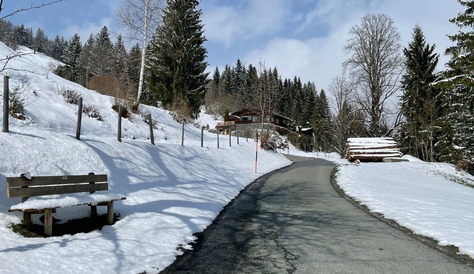
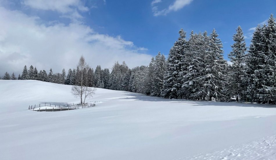
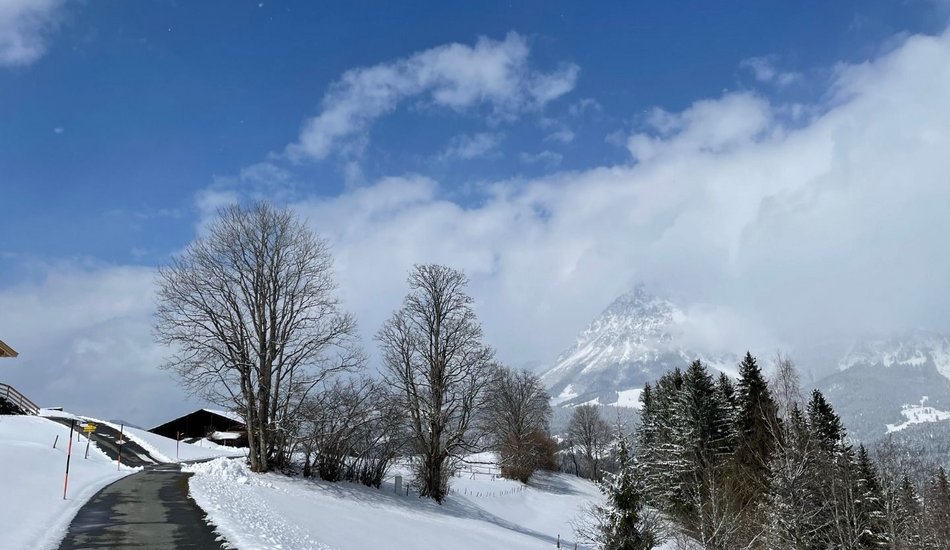

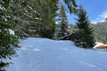
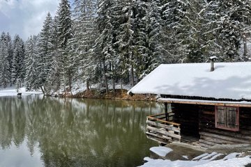
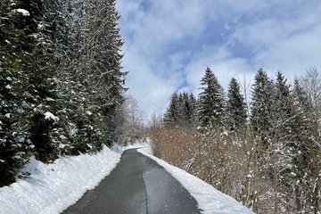
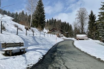
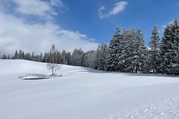
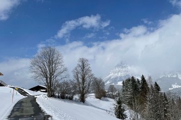
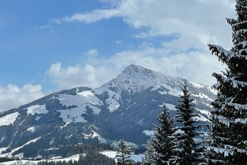
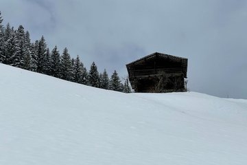
Description
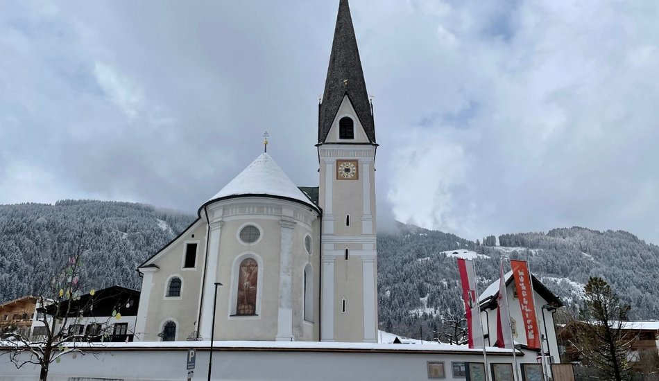
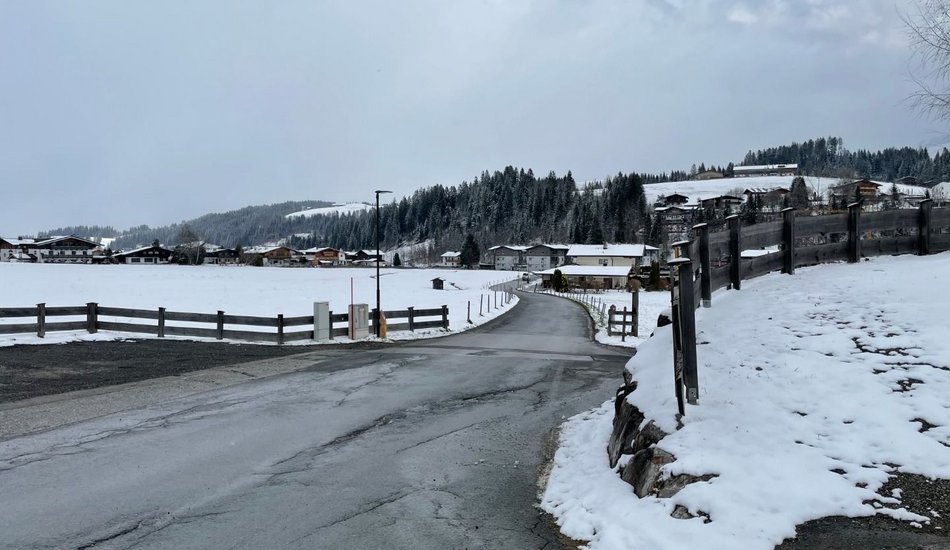
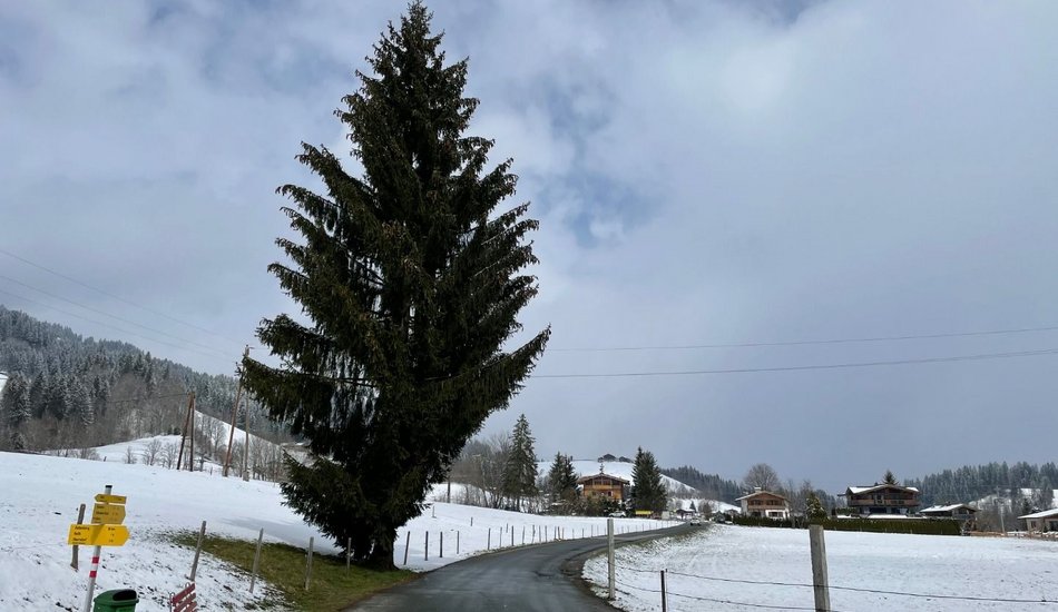
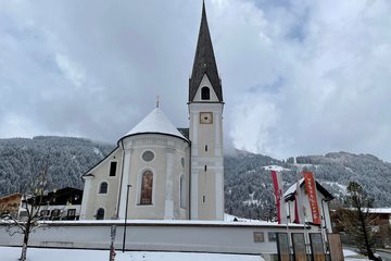
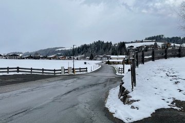
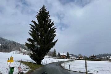
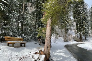
Gemeindeamt Reith (community office) - Kirche - Reinache - Winkel - Astberg - Hollenauer Kreuz
Route:
Wander- Infoplatz Reith - Kirche - Reinache - Winkel - Astberg - Hollenauer Kreuz
equipment:
Ankle-high walkingboots, functional mountain clothing, gaiters, spikes, a comfortable rucksack, hiking poles, snacks and drinks

Events
Loading...
Up to date
Loading...
Loading...
Loading...
Accommodation
Accommodation
Loading...