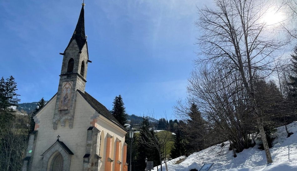
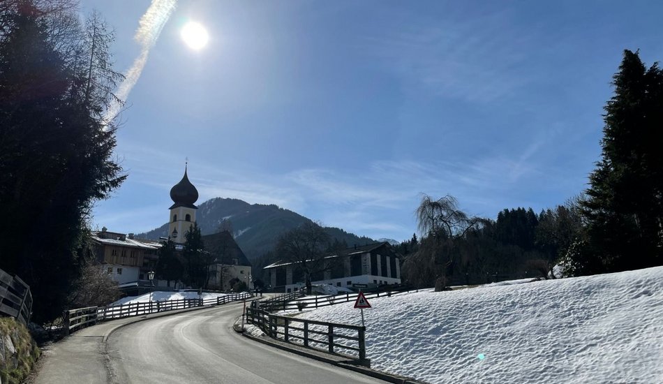
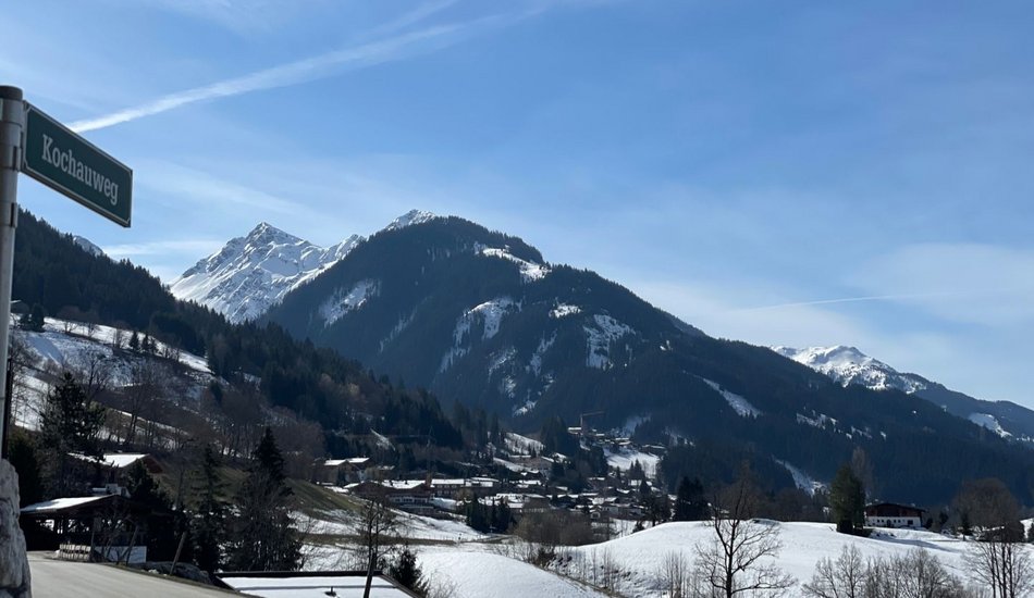
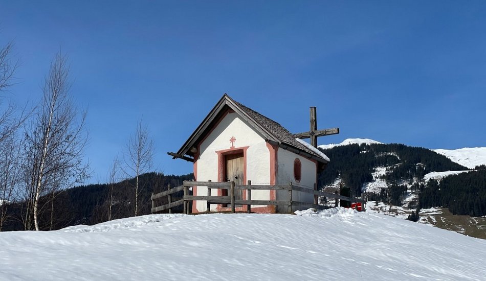
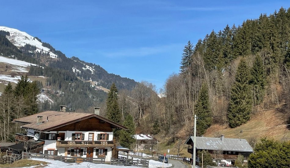
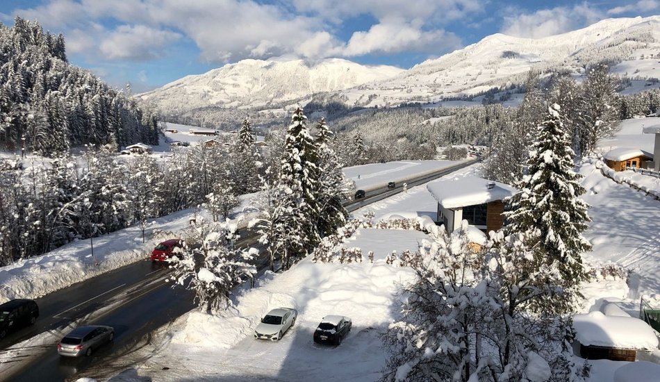
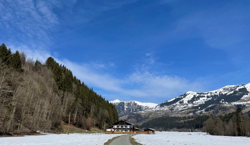
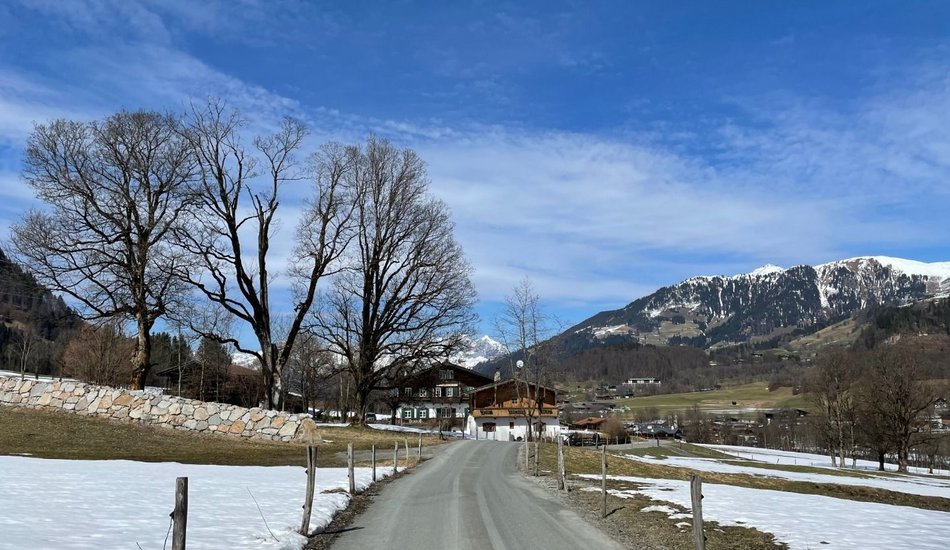
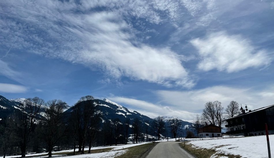
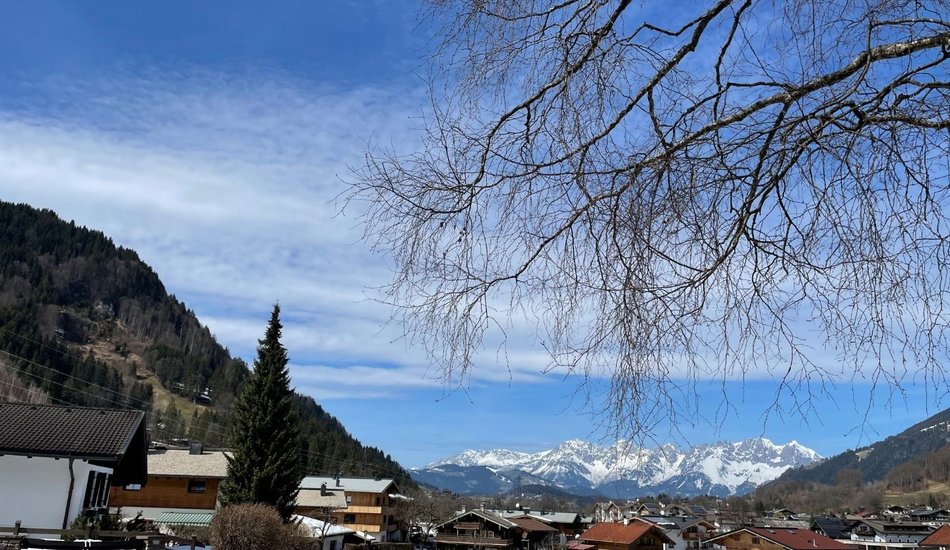
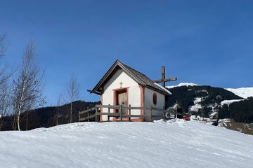
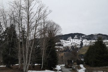
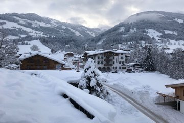
Kochau
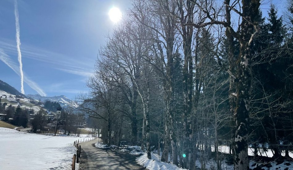
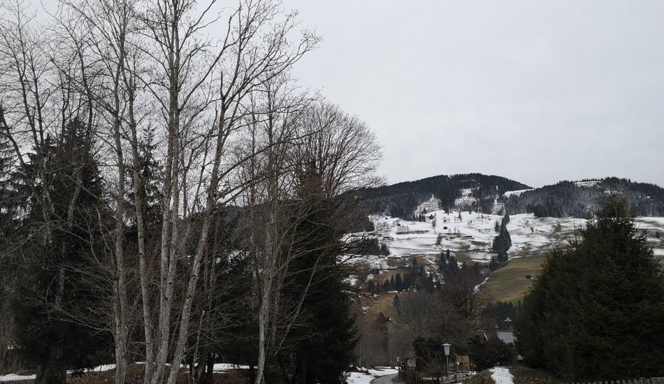
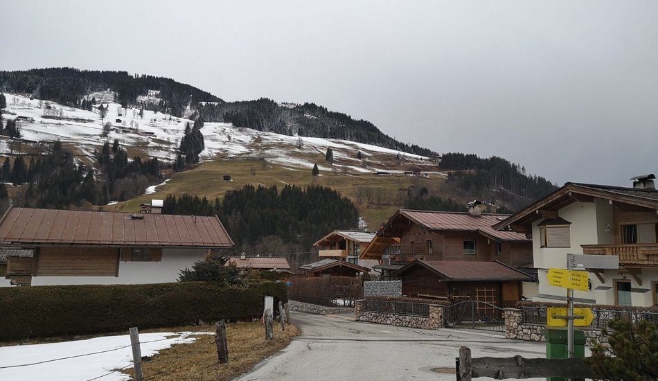
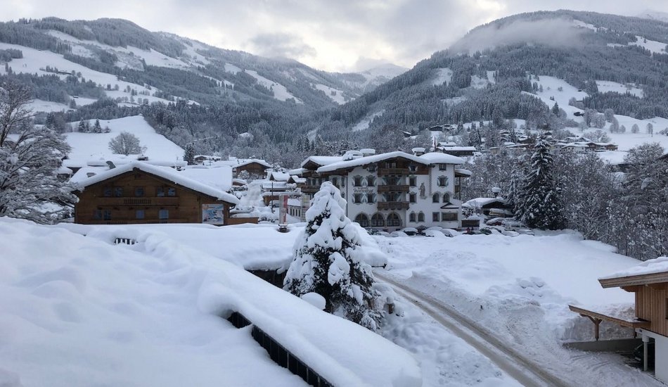
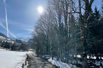
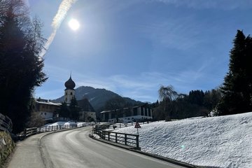
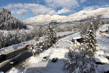
Winter walking


Description
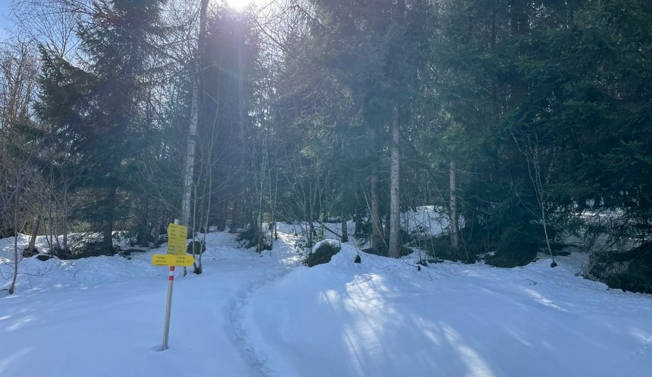
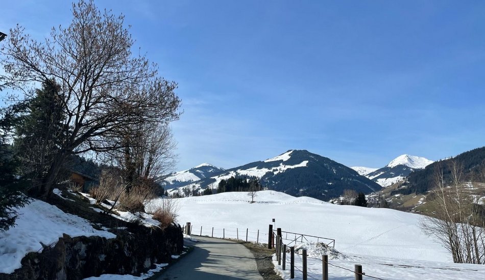
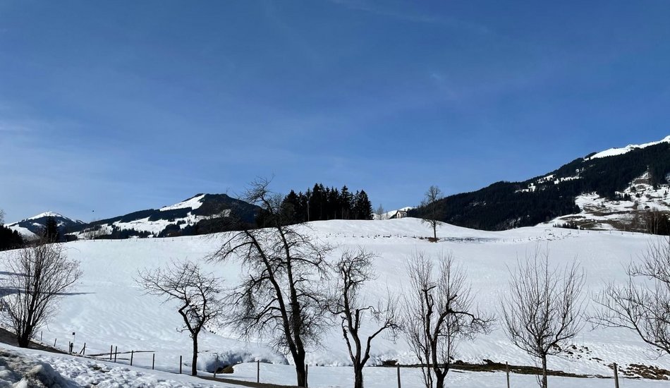
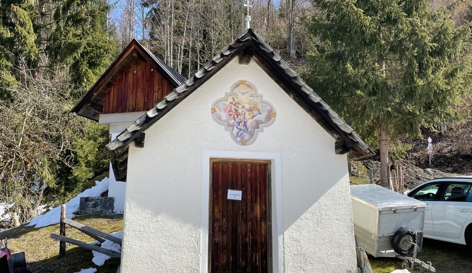
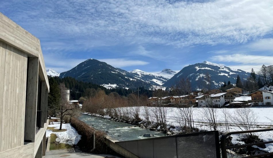
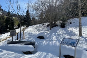
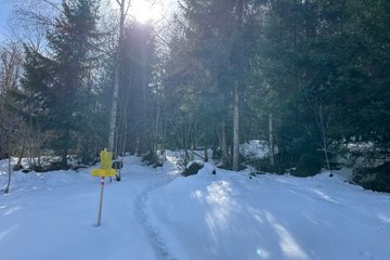
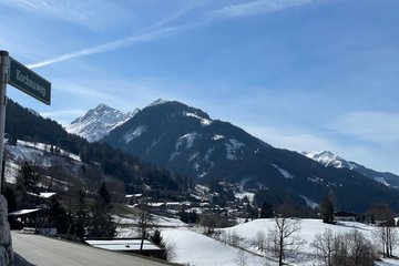
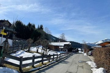
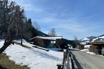
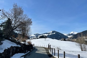
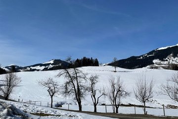
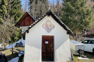
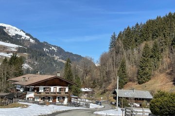
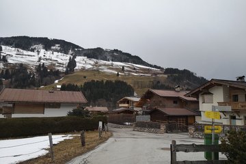
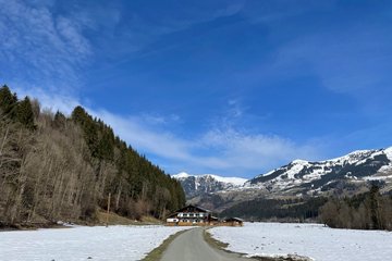
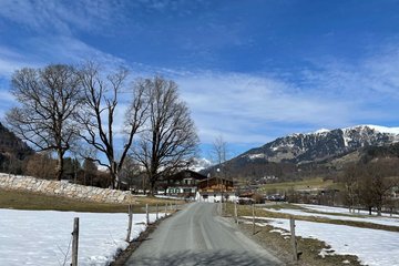
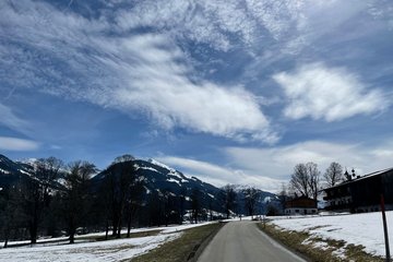
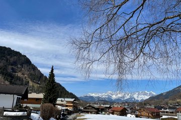
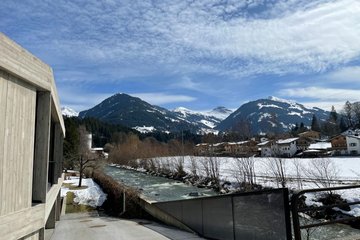
Unteraurach - Oberaurach - Waldkapelle - Kochau - Götschenkapelle - Pocherkapelle - Grüntal - Hechenmoos - Traidl - Auwirt - Unteraurach
Route:
Wander - Infoplatz Aurach - Oberaurach - Waldkapelle - Kochau - Götschenkapelle - Pocherkapelle - Grüntal - Hechenmoos - Traidl - Auwirt - Unteraurach
equipment:
Ankle-high walkingboots, functional mountain clothing, gaiters, spikes, a comfortable rucksack, hiking poles, snacks and drinks

Events
Loading...
Up to date
Loading...
Loading...
Loading...
Accommodation
Accommodation
Loading...