

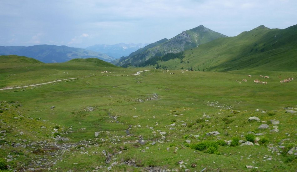
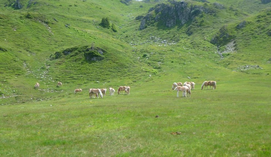
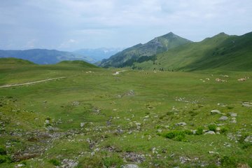
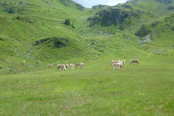
Follow signs to Sintersbach waterfall, take the turnoff towards the Sintersbach Niederalm mountain hut and continue to the Schöntagweidalm mountain hut. This is the start of the climp up to the summit of Kuhkaser, which leads through an area of beautiful alpine pastures characteristic of Kitzbühel's grass mountains. The route back down goes back past the Schöntagweidalm mountain hut and then continues along the signposted route towards Jochberg Wald (Jochberg forest).
Kuhkaser
... |
Hiking tour
Description
With its height of 2,054m, the Kuhkaser is certainly one of the most beautiful viewing mountains in Jochberg, Kitzbühel.
Route:
Parkplatz Schradler, Richtung Sintersbacher Wasserfall, Sintersbach Niederalm, Schöntagweidalm, Kuhkaser, Schöntagweidalm, Jochberger Wald, Alte Wacht
equipment:
Sturdy, ankle-high footwear, functional mountain clothing, waterproofs, sun protection, plenty to drink, a comfortable backpack, hiking poles, snacks

Events
Loading...
Up to date
Loading...
Loading...
Loading...
Accommodation
Accommodation
Loading...