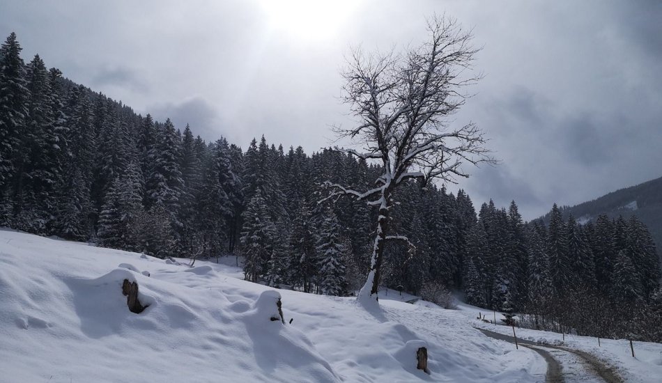
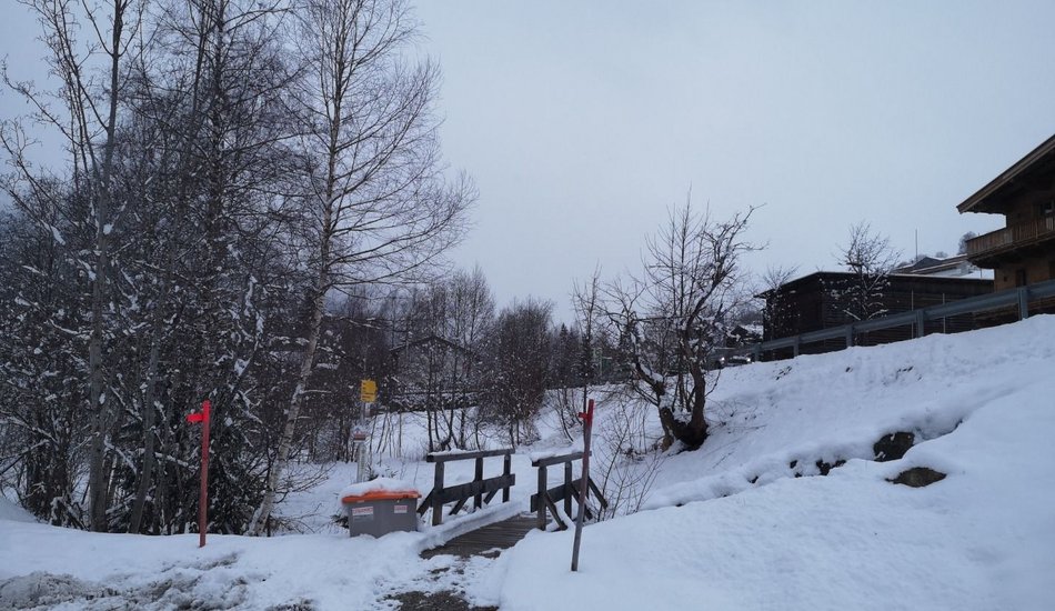
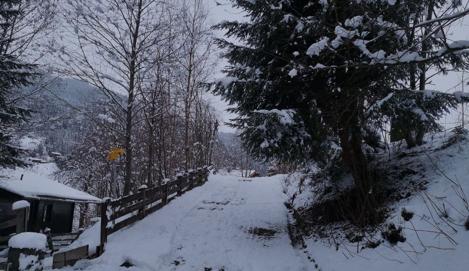
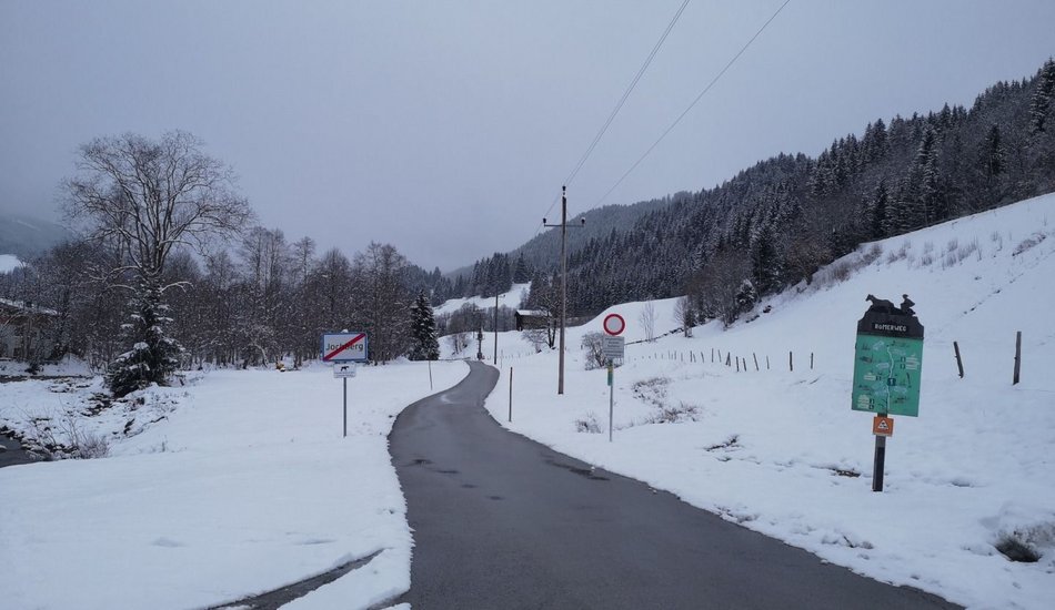
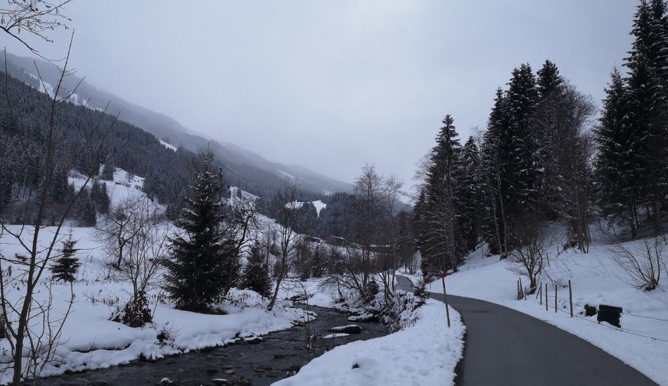
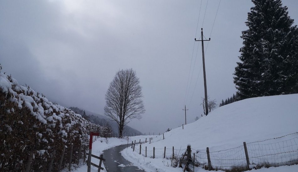
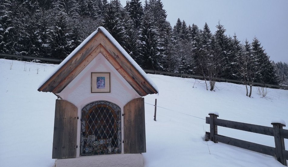
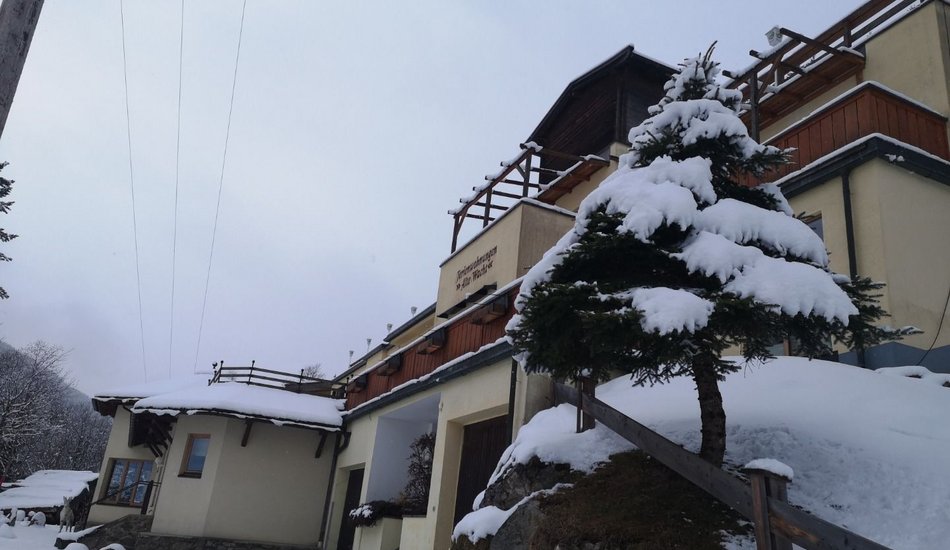
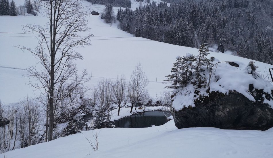
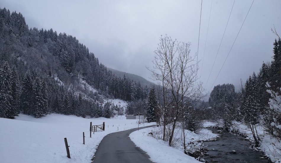
Römerweg
Winter walking


Description
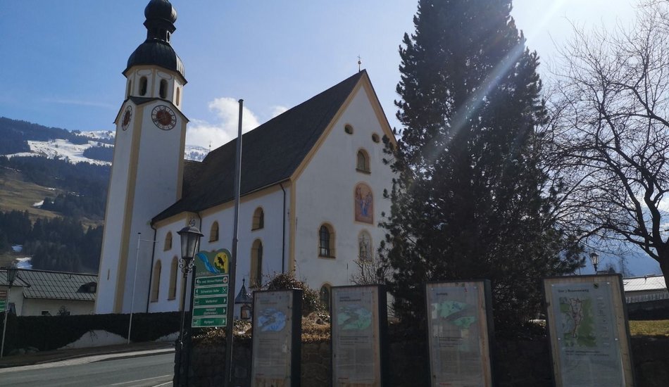
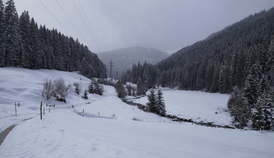
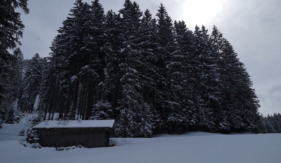
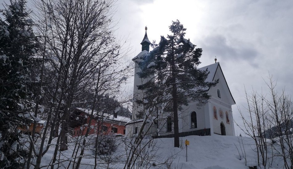
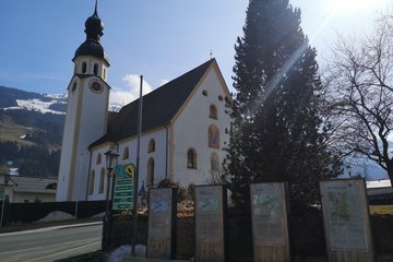
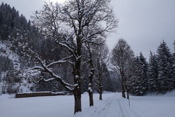
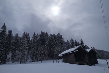
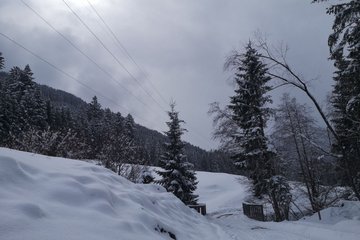
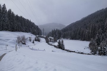
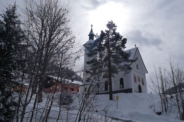
Gemeindeamt Jochberg - Kirche - Pass Thurn - Oberhausenweg - Jochberger Waldschwimmbad - Jodelbühel - Jochberg
equipment:
Ankle-high walkingboots, functional mountain clothing, gaiters, spikes, a comfortable rucksack, hiking poles, snacks and drinks

Events
Loading...
Up to date
Loading...
Loading...
Loading...
Accommodation
Accommodation
Loading...