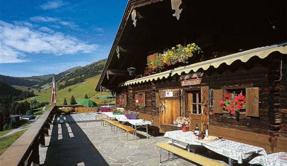
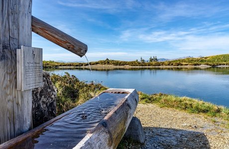
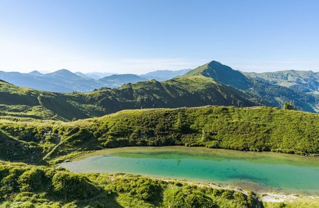
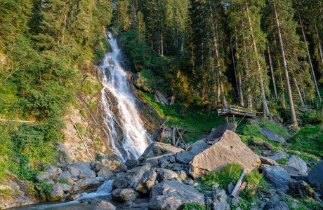
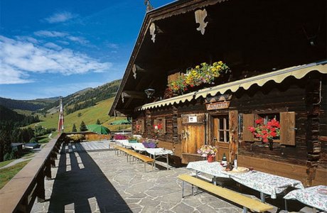
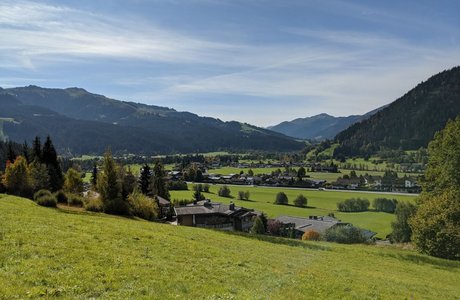
This circular hike starts from the hiking information point and leads along Martengasse road towards the Wagstättalm mountain hut. The route continues to mid-station of the Wagstättbahn gondola and then follows along hairpin bends towards Jagerwurz. From there, the forest road lcads to thc 400-year-old Bruggeralm mountain hut. From Schering farmhouse, it is a short climb up to the Wagstätt reservoir, which is an ideal place to refresh tired legs. The route back down passes the mid station of the Wagtättbahn gondola and then continues towards Jochberg and the start of the hike.
Wagstätt Runde
... |
Hiking tour
Events
Loading...
Up to date
Loading...
Loading...
Loading...
Accommodation
Accommodation
Loading...
