201 | Rauher Kopf
Mountainbike tour |
|
|
...


Description
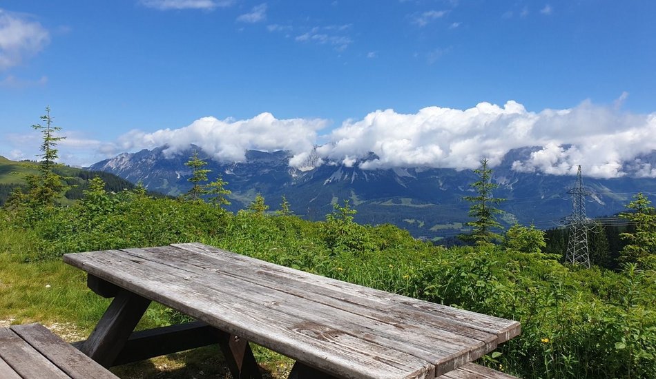
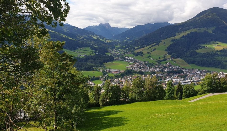
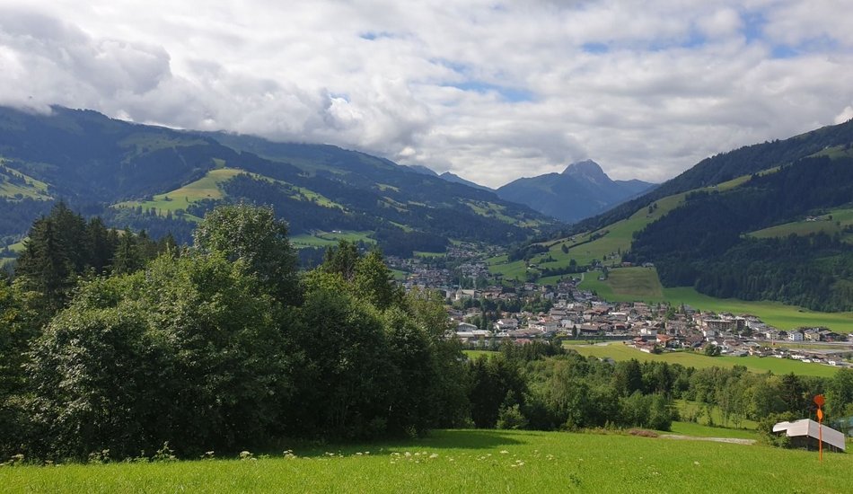
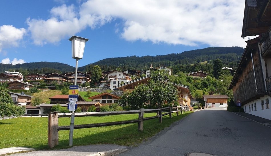
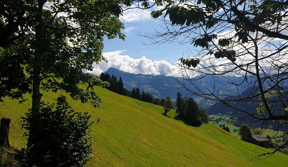
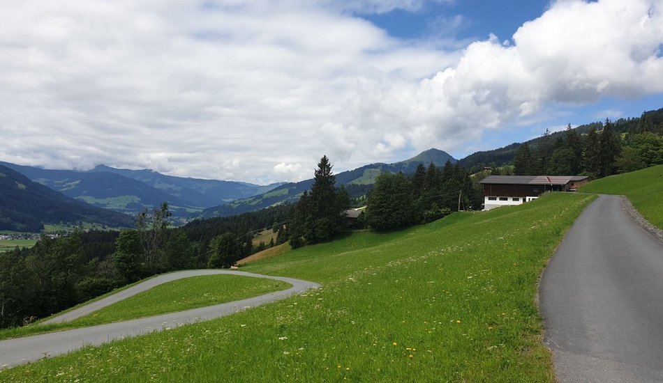
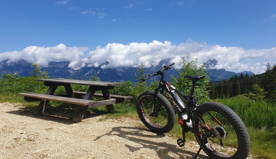
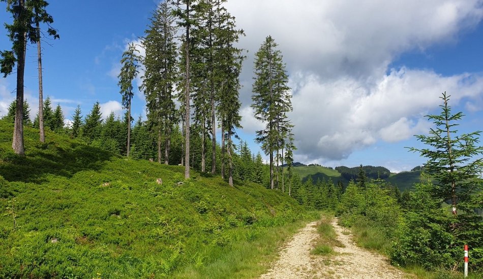
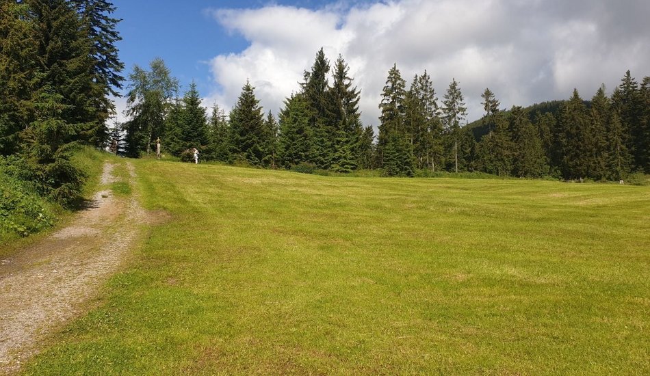
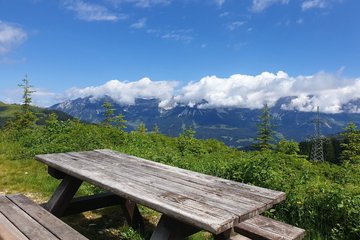
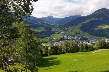
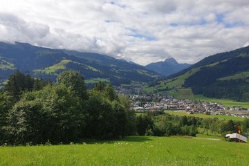
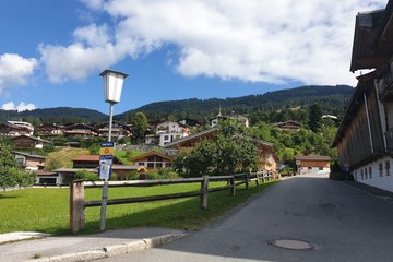
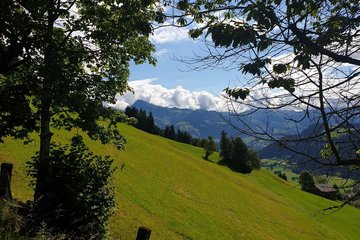
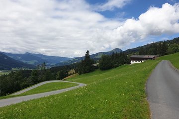
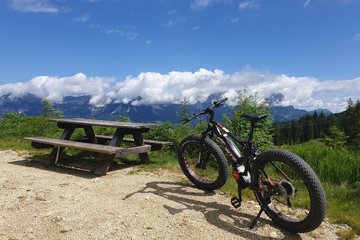
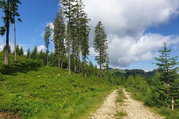
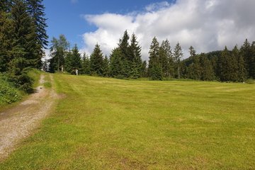
The route starts in the Spertendorf district of Kirchberg in Tirol and initially runs about 4 km on the paved road Sonnbergweg uphill to the Filzerhof, where it joins the forest path. For a short stretch the route becomes steeper, easing off again for the last kilometers leading steadily uphill through the forest to the highest point of the tour. Near the top there is a view point looking across to the Wilder Kaiser, where there is also the option to join MTB route 288 to Brixen im Thale. The way back down is on an asphalt road towards Gasthof Ruetzen going over the Hinterer Sonnberg back to Spertendorf.


Events
Loading...
Up to date
Loading...
Loading...
Loading...
Accommodation
Accommodation
Loading...