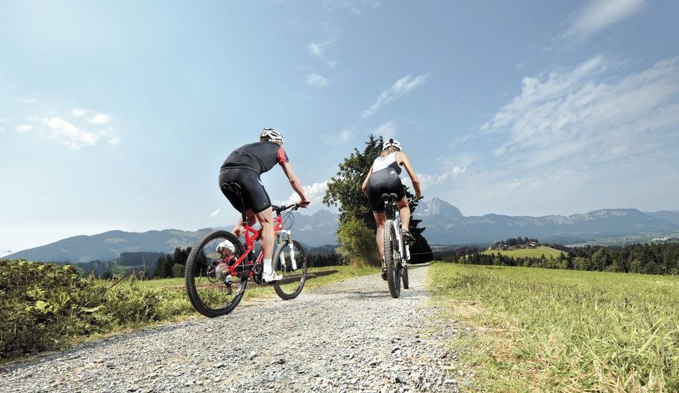
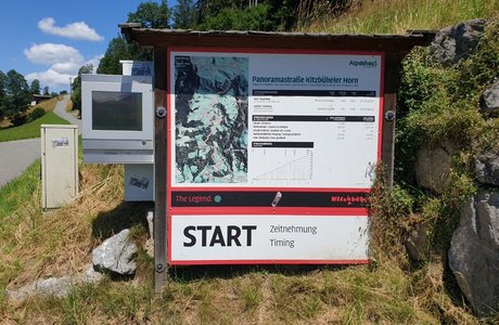
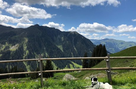
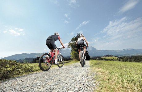
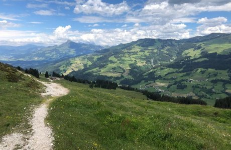
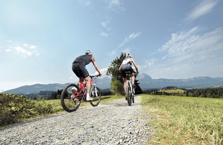
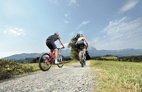
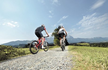
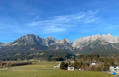
The starting and finishing point of this extensive circular tour is the hamlet of Aschau in Kirchberg i.T. - with variable routing and various options for refreshments. Through the Spertental nature reserve, the route runs uphill along the Ache river and alpine meadows and past a waterfall with a suspension bridge. On the asphalt forest road, the biker reaches the first variant, the turnoff to the unmanaged Stockeralm, Stallbach-Grundalm and Karalm. From here the more difficult part of the tour begins, which now continues on a gravel path. After a few bends and a longer straight section, the turnoff for the second variant - the Schöntalalm (refreshment stop) - appears. Here you have the option of climbing the Großer Rettenstein on foot (caution - only for experienced hikers). After approx. 700 m, there is the next descent to the third variant - the Hirzeggalm (refreshments available). If you feel like it, you can hike up to the "Spießnägel". After the last bend in the forest trail, you return to the starting point via the asphalt road from the Kasplatzl cheese dairy.
204 | Rettensteinrunde
|
|
... |
Mountain Bike |
Mountainbike tour
Events
Loading...
Up to date
Loading...
Loading...
Loading...
Loading...
Accommodation
Accommodation
Loading...
