207 | Jagahäusel-Staubing-Westendorf
|
... |
Mountainbike tour


Description
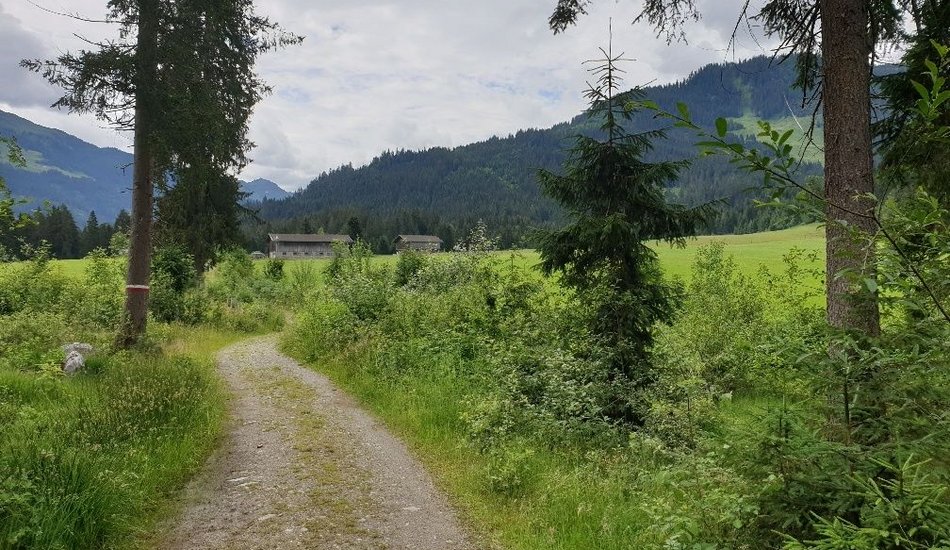
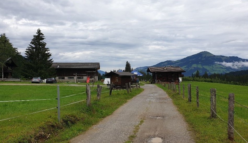
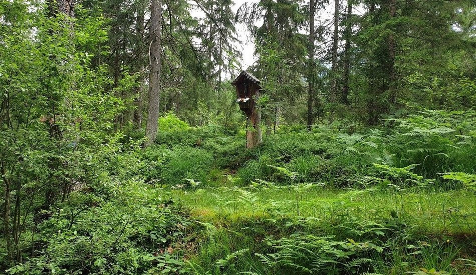
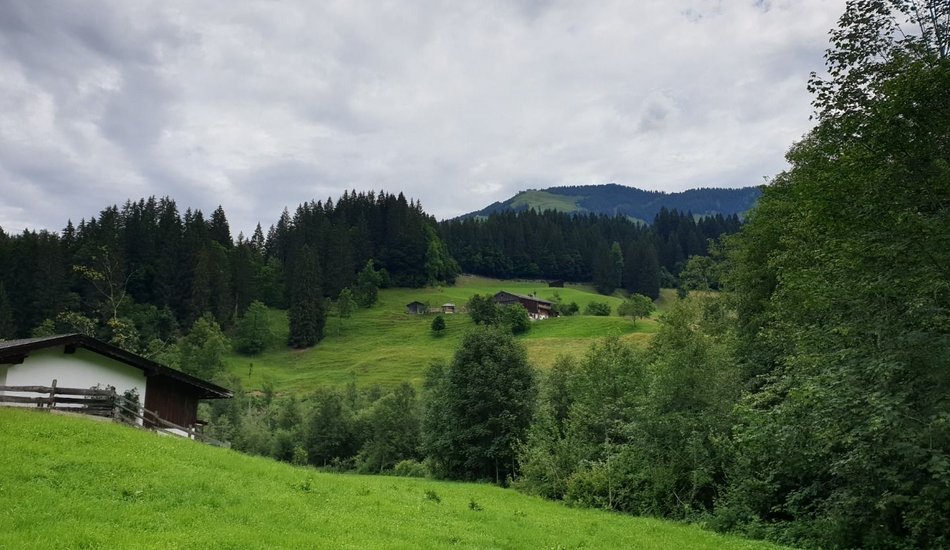
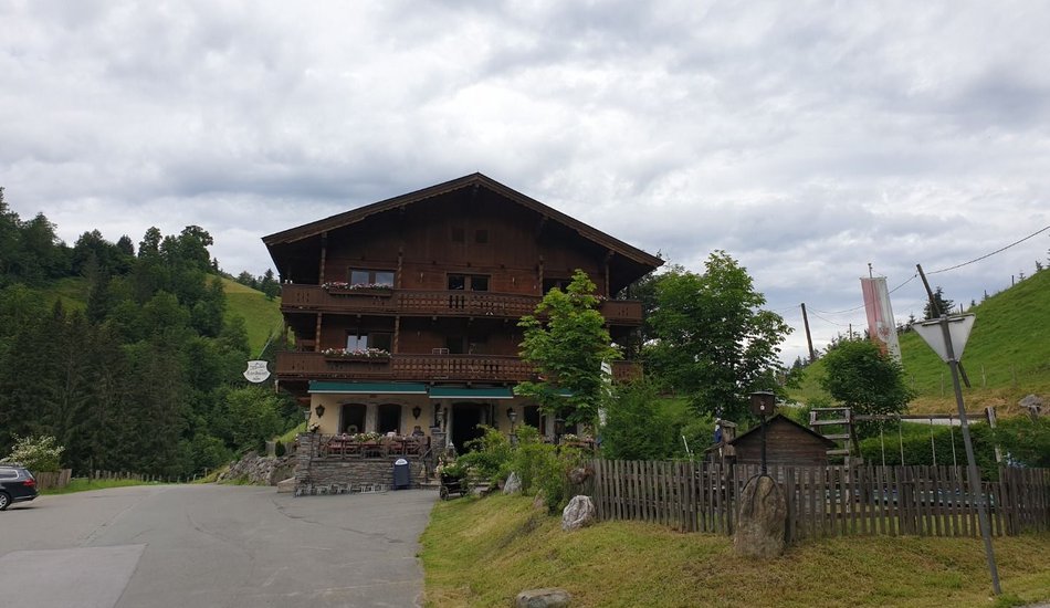
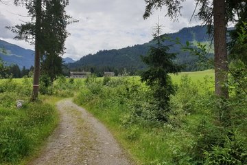
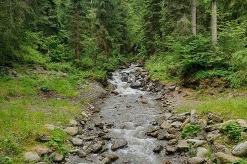
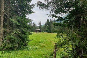
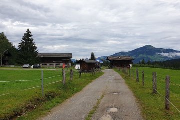
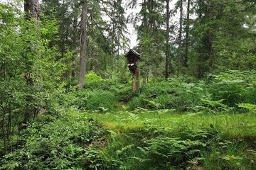
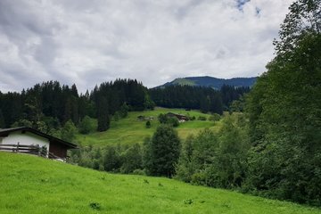
The route starts at the village square in Westendorf and leads along the main road to Vorderwindau and on to Rettenbach to the Jagahäusl. After the bridge, turn right and take the forest road uphill to Käsealm Straubing. The way back is first via a forest road until you reach the asphalt road to Unterwindau. From Unterwindau, take the main road past the golf course back to the starting point.

Events
Loading...
Up to date
Loading...
Loading...
Loading...
Accommodation
Accommodation
Loading...