
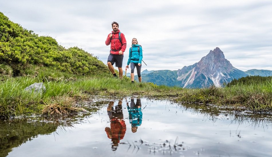
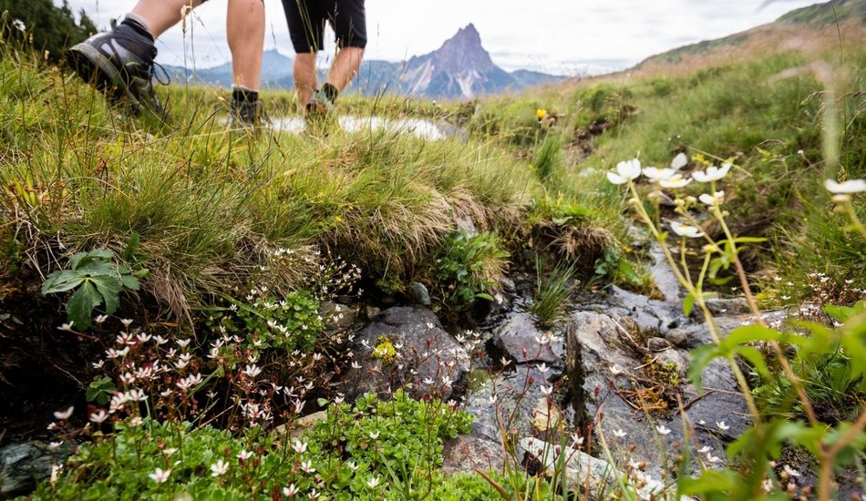
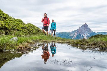
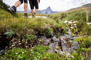
A variety-packed hike in absolute tranquillity, passing several historic Alpine buildings and a high Alpine moor close to the Hintenkarscharte along with a waterfall near the end of the stage. Distinctive area of Alpine roses above Scheibenschlag Hochalm. Dreamy views to the surrounding mountains, the ice giants of the Hohe Tauern, which look like you can just reach out and touch them, impressive peaks of the Großer Rettenstein. Paths are for the most part not too difficult, only the area to both sides of the Hintenkarscharte is classified as being moderately difficult. Due to the length – some nineteen kilometres – you need a decent level of fitness.
From Gasthaus Steinberg hike into the valley for a good kilometre, bear left at the 2nd bridge (end of the asphalt route) heading for Scheibenschlag Alm / Hintenkarscharte.
The path proceeds in several bends, alternating between forest and Alpine terrain, until you come to Scheibenschlag Niederalm (1,446 m, 1 hour 45 minutes from Steinberghaus). The path now branches to the right on a steeper cart path (Scheibenschlag Hochalm, Gerstinger Joch). Scheibenschlag Hochalm is located in a wide trough, where the rough path ends.
The access point to the steep path is somewhat difficult to find since it has been well-trodden by cattle. It starts directly behind the pasture and proceeds through an area of Alpine roses, another few metres above the trough. Pay attention to the ground markings!
Some three-hundred metres after the pasture the path branches off to the left and you come to a flat ridge with a signpost that can be seen from quite far away. From here, it is still a few hundred metres to the impressively deeply cutin Hintenkarscharte (1,829 m, 3 ½ hours from Steinberghaus). There is the option here to continue hiking for another 20 minutes up to the Gasssnerkogel to get to a summit on today‘s hike.
On the other side, hike on a path that proceeds somewhat gently downhill, past a small moor, to Hintenkar Hochalm (1,722 m). From here continue on the approach path to Hintenkar Niederalm (1,546 m). At the junction under the Alm, do not continue to head into the valley, rather head for Haglangeralm on a short section to the stream.
Cross this and change over on to a small path that runs parallel beneath the pasture path out of the valley. Now follow a short counter-climb on the aforementioned path, through a lovely area of mixed forest, before you come to the Haglangeralm, which is not open for business.
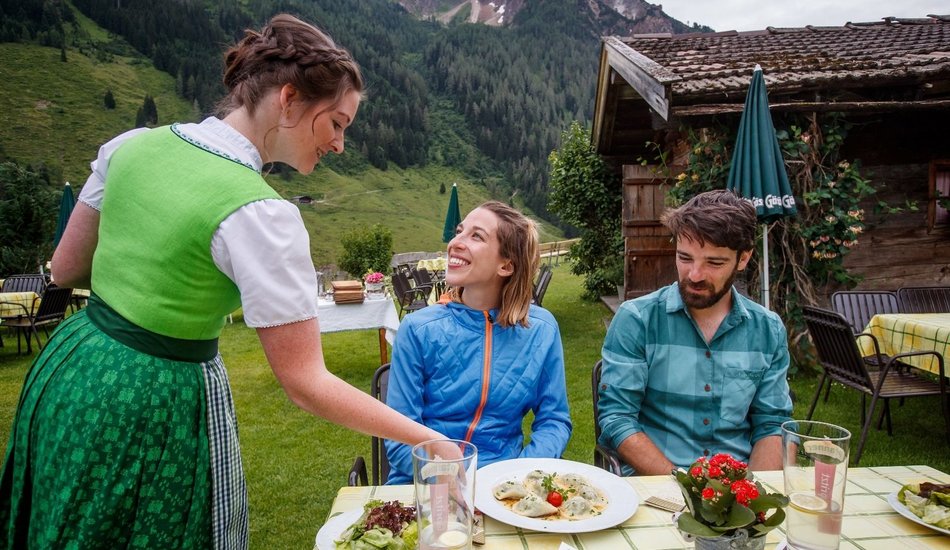
A short section downhill on the forest path leads to a pastureland path to the left, taking you to Labalm. Proceed down in several serpentines to the Labalm (1,263 m, 1 1/2 hours from Hintenkarscharte) which can be seen far and wide. After a refreshment stop, proceed for a short section into the valley and along a stream to Aschau (1,013 m, approx. 1 hour from Labalm).
KAT Walk Alpine stage 3
Description
Stage 3: Windau - Aschau
equipment:
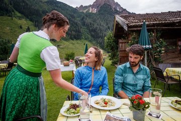
Breathable outdoor clothing, sufficient food and drinks, first aid equipment, mobile phone with full battery & charger, hiking map & guide books, possibly GPS device or load the GPS data onto the mobile phone, sun protection (sunglasses, sunscreen & hat), rain cover, cash

Events
Loading...
Up to date
Loading...
Loading...
Loading...
Accommodation
Accommodation
Loading...