 Kitzbühel Tourismus")

KAT Walk Alpine stage 4


On the tracks of the legendary Hahnenkamm race...
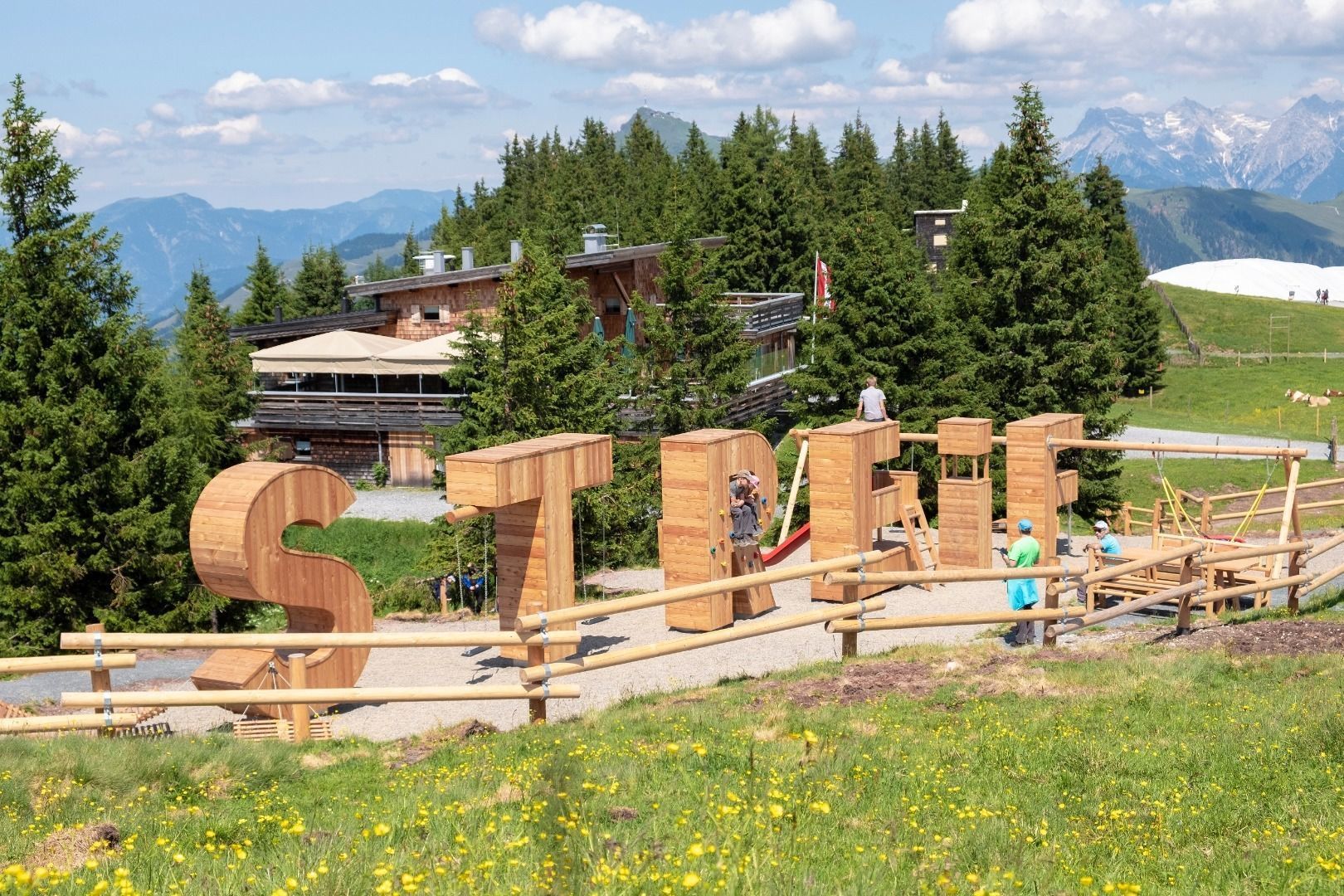
You get a taste of World Cup atmosphere along the Streif race course with explanatory panels, famous sections such as Hausbergkante or Mausefalle. Daily destination is the city center of the "most legendary" sports town of the Kitzbühel Alps!
Preliminary notes:
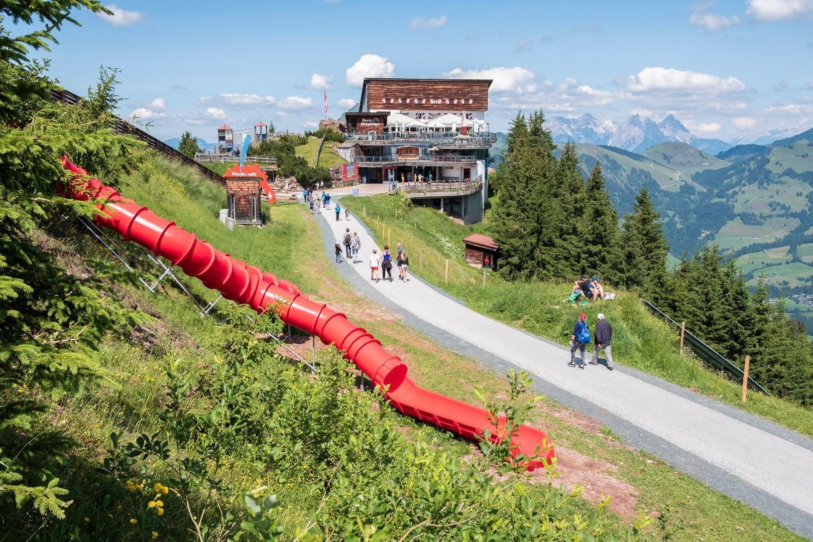
From the Hahnenkamm take the cable car Hahnenkammbahn to Kitzbühel and save some two hours on the descent time. Please note the cable car opening and operating hours!
The tour starts in the centre of Aschau between Gredwirt and Aschauer Hof get your bearings with the route markers Pengelstein, 3 hours, and ascend on the path initially through pasture, then later on brief sections up in the forest again. Forest paths are crossed on several occasions, get your bearings by following the signs to Pengelstein or Schwarzkogel. The route ascends steadily through the Alpine pasture area and past Kleinmoos Niederalm (1,624 m). The steep path (some damp sections) crosses the ruins of Obere Kleinmoosalm, continuing through a wide trough up to Schwarzkogelscharte.
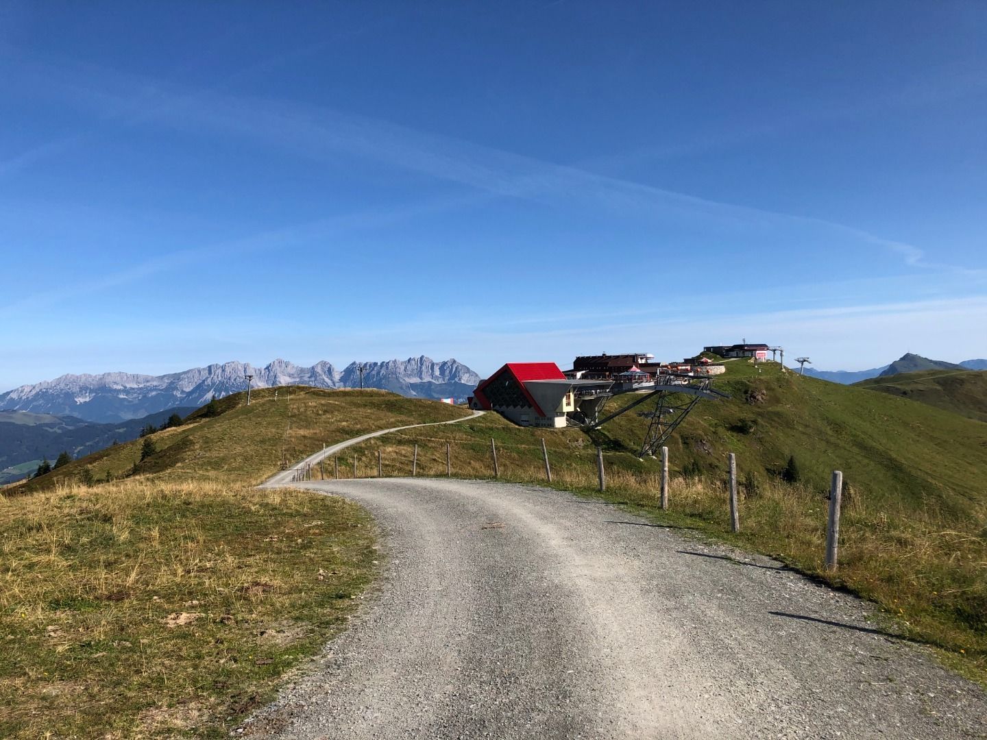
Continue now on the path to the Pengelstein through an area of Alpine roses, passing small lakes (‚Lacken‘) to the first mountain stations for the ski lifts and Pengelsteinsee. The route proceeds along the mountain ridge to the less prominent summit of the Pengelstein (3 hours from Aschau, refreshment stop option at Bergrestaurant Pengelstein) across to the pretty Jufenalm. Keep heading for the Ehrenbachhöhe and the Hahnenkamm. Continue now on the forest path and down to mountain restaurant Hochbrunn. At the guesthouse, after a section across a forest path, you can also shorten the route by heading directly across the ski piste (steep tracks). Bear left here, continuing to Ehrenbachhöhe and not even a hundred metres later, bear left again heading up on a hiking path to Ehrenbachhöhe.
At the top get your bearings and orient yourself to Ehrenbachhöhensee, then hike behind the lake on a short section through the pastureland up to Bernhardkapelle chapel. Continue now on the forest path over to the nearby Hahnenkammbahn (1668 m; 45 minutes from Ehrenbachhöhe). There is an option to shorten the route here and head straight down to Kitzbühel on the gondola.
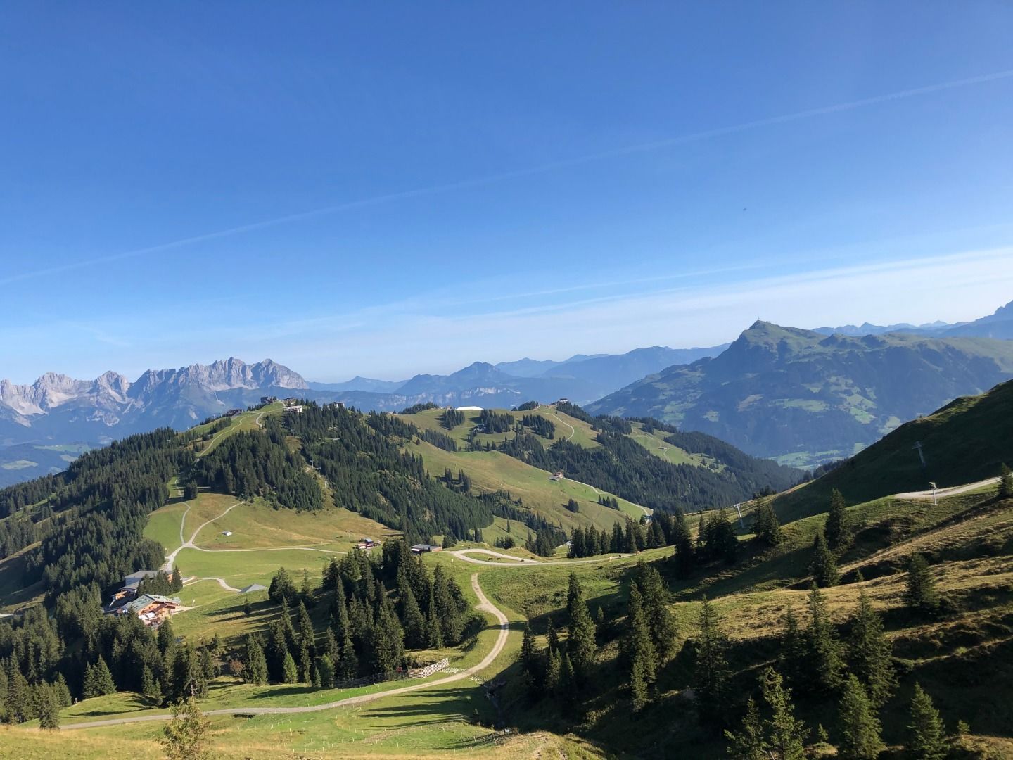
Anyone who has enough energy left to keep hiking can head for Hocheckhütte, which is beneath the mountain station, and through the ski area down to the Seidlalm. Hike directly along the renowned Streif race route (Streif race route trail No. 26). Mausefalle, Steilhang and Hausbergkante are household names. The route proceeds via lake Seidlalmsee, which can be seen far and wide, to the Seidlalm(1,206 m). After the Seidlalm head along the race route to Lärchenschuss. Cross Lärchenschuss and follow the hiking path through a short section of forest to the Hausbergkante. The final big screen is at the Hausbergkante (watch the skiers in action live here).
The descent proceeds straight across the Hausbergkante to the Ganslern slalom slope. The zig-zag path leads us past Ganslern Alm, passing the fastest section of the race route (where speeds of up to 140 km/hr are reached). The finish area is used as a golf course in the summer. The path now proceeds to the Hausbergtalroad, follow this down into the valley and the signposts for Kitzbühel‘s Hahnenkammbahn valley station (approx. 2 hours from the Hahnenkamm mountain station). From the valley station it is around 5 minutes to the centre of Kitzbühel.
Asphalt road, forest paths, mountain path (medium difficulty - marked in red), alpine hiking trails
Breathable outdoor clothing, sufficient food and drinks, first aid equipment, mobile phone with full battery & charger, hiking map & guide books, possibly GPS device or load the GPS data onto the mobile phone, sun protection (sunglasses, sunscreen & hat), rain cover, cash
Bus stop Aschau (Kirchberg in Tirol) Dorf – directly at the starting point
Timetables: www.vvt.at
Kitzbüheler Alpen guest card = free ticket for local public transport! More information can be found here.
Via road no. B170 and then the Aschauer Straße to Aschau bei Kirchberg
Dry and sunny throughout the day with hardly any clouds.
Dry and partly sunny throughout the day, with cloudy periods from time to time.


 Erwin Haiden (18).jpg")