

On the ascent to Brixenbachalm along an artistically arranged crossroads - the first highlight of the day. Via
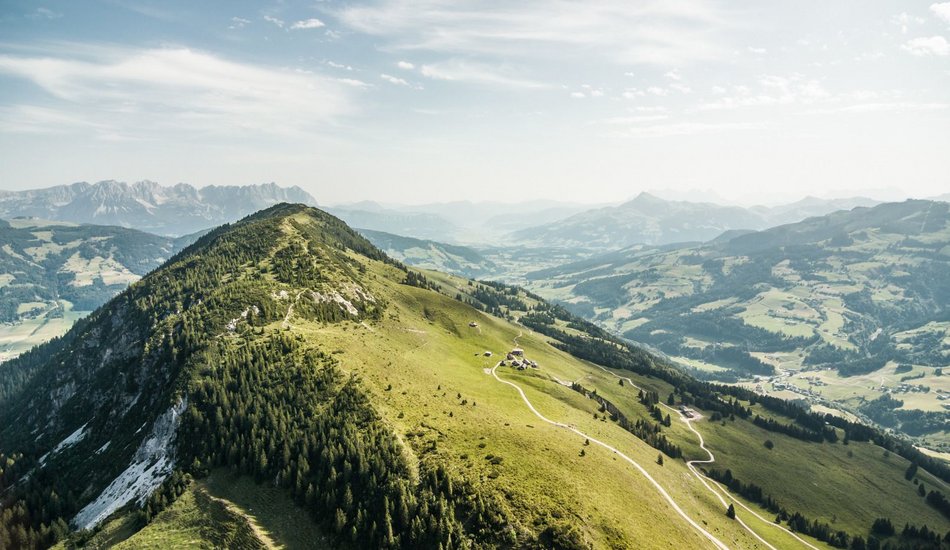
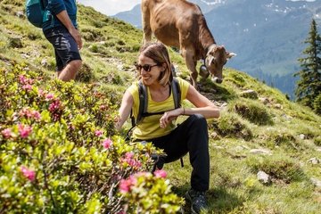
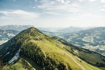
open forest and Alpine pasture terrain you come to the Wiegalm, nestling picturesquely in a saddle. From here it is just a short ascent to the protracted mountain ridge of the Gaisberg. The geological make-up of the uppermost area of the Gaisberg also changes the landscape and the vegetation. It is dominated by limestone with karst formations and areas of mountain pine. The summit also provides wonderful 360° panoramic views. The descent through a lovely area of mixed woodland can be truncated at the end by taking the chairlift.
From the centre of the village Brixen im Thale take the village road Dorfstraße in an easterly direction to the Reitlwirt. Here a path heads to the right to the train station and beneath the rail tracks. On the other side, take a short section to the right and then left straight after on to the road next to Brixenbach (keep following the signs for Brixenbachalm and Wiegalm).
Hike now for around one and half kilometres, on a moderate ascent, until the road to right proceeds across Brixenbach. At this point however do not cross the bridge, but continue straight on to the hiking path(Kreuzweg, Brixenbachalm). The very well-constructed path now proceeds slightly up through Alpine terraintowards the valley, passing the stations of the Kreuzweg route. Somewhat above the Alpine pasture you come to a forest trail, hiking on this for a short section down to Brixenbachalm (1,075 m; 1 hr 15 mins from Brixen). Just a few metres before this a steep path branches off to the left to Wiegalm.
The route now becomes somewhat steeper heading up through steep Alpine terrain. Later the path heads into a lightly wooded area. A few hundred metres before the Wiegalm you again come to a forest trail, on which you now hike to the inn (1,513 m; 1 hr 15 mins from Brixenbachalm). Right behind the inn the path branches off to the left, heading to the Gaisberg.
Alternative route without summit: At this point there is an alternative route, without having to climb the Gaisberg, continue straight on continuing via Harlassangeralm / Kobinger Hütte and Bärstättalm back to the main route. Keep to the signs for Harlassanger, Kobinger Hütte and Bärstättalm. The route proceeds in slightly undulating terrain over to the Harlassangeralm which soon becomes visible and Kobinger Hütte directly ad-jacent. After that, a wide path proceeds through Alpine terrain, descending slightly to Bärstättalm. Get your bearings at the Gaisberg lift.
Route including the summit: from the Wiegalm, hike another short section uphill through the Alpine landscape and you will soon reach terrain where mountain pines are growing. The route now proceeds along the ridge from the Gaisberg up to the highest point at 1,770 m altitude (45 mins from the Wiegalm). In the uppermost area the path now undulates slightly. Behind a less prominent summit the path, partially washed away by rainfall, proceeds steeply downwards, before you come to a turn-off to Bärstättalm; continue from here to the Gaisberg lift.
The steep path soon proceeds into a lovely mixed forested area. In several steep serpentines, it proceeds past avalanche barriers to a forest path just above the Gaisberglift. Proceed for a short section on this over to the mountain station and Gasthaus Gaisberg Alm (1,289 m; 1 hr 15 mins from the Gaisberg). Now take the chairliftdown to Kirchberg in Tirol (please note the cable car opening and operating hours!).
Anyone who has the inclination and enough energy left, can take the gravel pathdown via several bends to the Obergaisberg, continuing on the access road to Kirchberg in Tirol (1 hour from the Gaisberg lift mountain station).
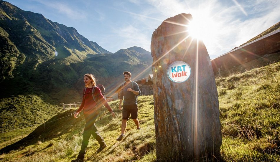
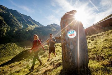
KAT Walk Compact stage 2: Primeval drama - From gentle grass mountains to special geological features
Description
Multi-day long-distance hiking trail through the Kitzbühel Alps. Stage 2 of 5: Brixen im Thale - Kirchberg in Tirol
equipment:
Breathable outdoor clothing, sufficient food and drinks, first aid equipment, mobile phone with full battery & charger, hiking map & guide books, possibly GPS device or load the GPS data onto the mobile phone, sun protection (sunglasses, sunscreen & hat), rain cover, cash

Events
Loading...
Up to date
Loading...
Loading...
Loading...
Accommodation
Accommodation
Loading...