A stage that requires a good level of fitness …
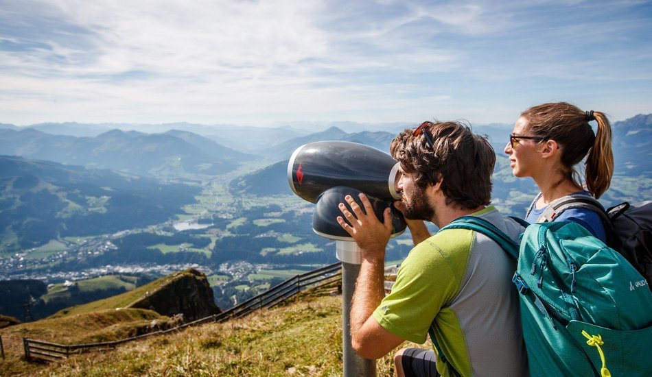
across the renowned Kitzbüheler Horn to St. Johann in Tirol, that can also be truncated by using several cable cars. Views to all four points of the compass, a well-tended Alpine flower garden and several refreshment stop options make this stage a very special experience! Spectacular path on the descent from the Horn to Harschbichl.
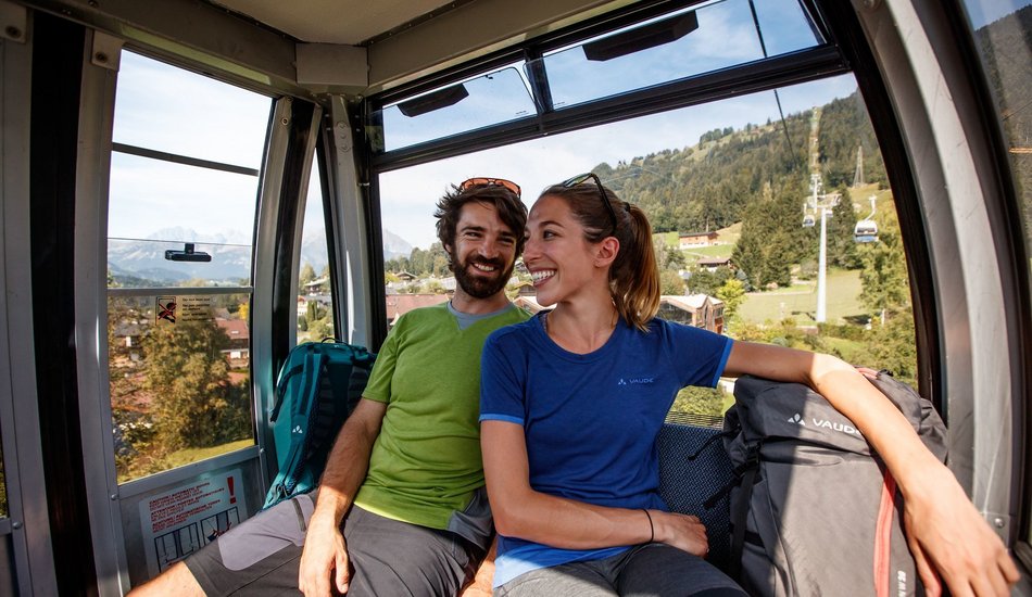
Preliminary notes: By taking the Kitzbüheler Hornbahn or the Harschbichl cable car you can truncate this stage to vary the length. Please note the cable car opening and operating hours!
Hornbahn Section 1 to the Adlerhütte (1,270 m, time difference 1 hr 15 minutes)
Horn Gipfelbahn (1,960 m, time difference 3 hrs 30 mins)
On the descent too you can use the Harschbichl cable car to St. Johann in Tirol (1,600 m – 650 m, time difference around 2 hrs).
There are also mountain carts at the intermediate station, on which there is another option of speeding into the valley. If time permits, a trip to the Hornpark climbing forest near the Harschbichlba intermediate station is worthwhile.
From the starting point at the Hornbahn valley station head on the access road to Hagstein. At the farmhouse Grünberg branch off on to a steep forest path heading for Gasthof Hagstein, Adlerhütte, Alpengasthaus.
The route proceeds through the forest, uphill in several serpentines. Further up you pass Alpine meadows to reach Adlerhütte (2 hrs from Kitzbühel) and the nearby intermediate station for the Hornbahn. Continue on the steep path behind Adlerhütte, that soon crosses into a forest path. From here keep following the signposts to the Kitzbüheler Horn.
The path soon crosses the pastureland area and as a result, the hiking path still ascends slightly beneath the Wilder Hag over the hilly Alpine terrain of the Trattalmen. The summit is now always in front of you and you hike on the access road, initially to Alpenhaus (1 hr 15 mins from Adlerhütte; mountain station section 2).
Then continue on the access road to the Kitzbüheler Horn until you come to the entrance of the Alpine flower garden. Go through this and continue up on the path to Horngipfelhaus (50 minutes from Alpenhaus) and the transmitter at the top of the Horn.
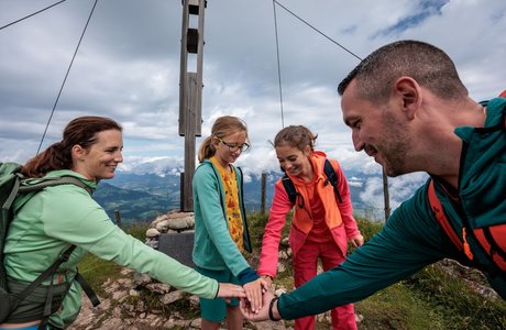
On the descent, hike up to the section that branches off to St. Johann in Tirol, passing an impressive viewing cross up at around 1,900 metres altitude and take the same path back. The path branches off here and is well-secured with ropes, proceeding through steep terrain (as an alternative to the Scheibersteig you could opt for the easier but longer Hornrundwanderweg). A spectacular route section on the north west side of the Kitzbüheler Horn!
The terrain flattens out further down and just beneath Harschbichlalm you come to a path again. Now either proceed on a short section to Harschbichlalm (approx. 1 hour from the Kitzbüheler Horn) and take the cable car into the valley, or head down towards the Stanglalm.
Beneath the Stanglalm the route proceeds on a forest path for a short section, until once again this merges on to a steep path. At the next junction, head for Müllneralm.
From there follow the signs for Bassgeiger Alm, continuing to Gasthof Hirschberg and Hochfeldalm. Follow the signposts for Buchwies, the stage proceeds through the forest to St. Johann in Tirol and Hilscherpark at the valley station for the Harschbichlbahn

