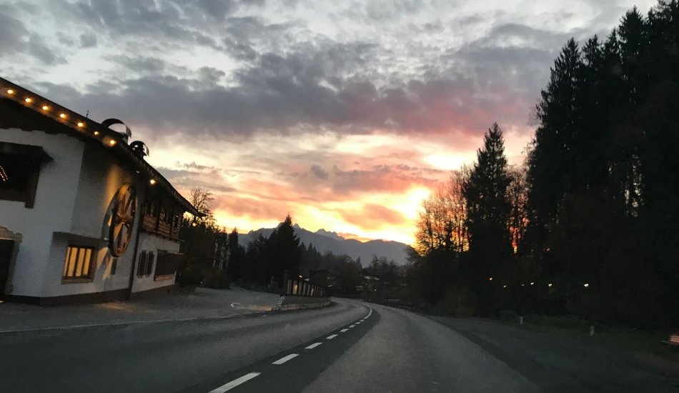
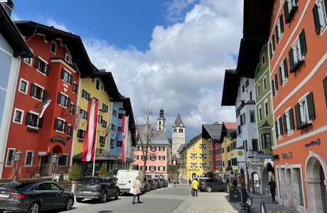
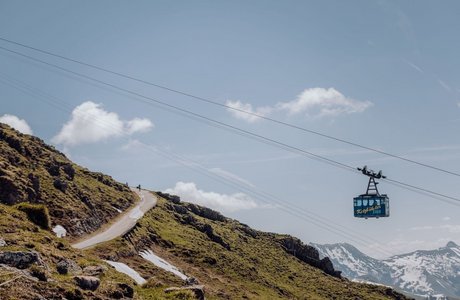
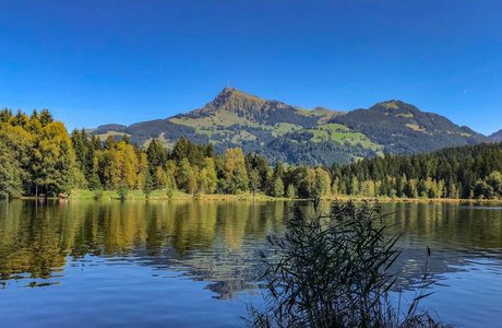
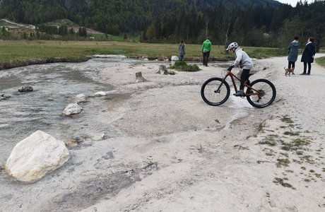
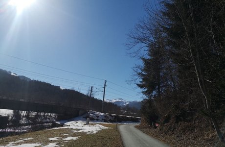
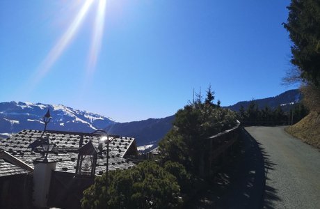
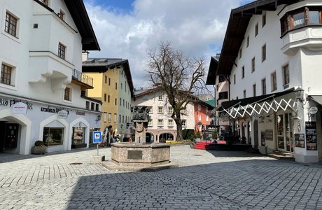
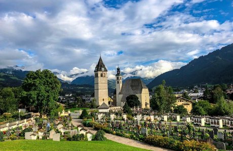
The route starts by going through the beautiful Brixental valley, and returns along the foot of the Wilder Kaiser mountain range with wonderful views all the way.
From Kitzbühel's city center you cycle west on Schwarzseestrasse. Passing the Schwarzsee lake, cross the main road and continue along the narrow side road past the Kitzbühel-Schwarzsee-Reith golf course. There is a short stretch of the cycle path to Kirchberg that is not tarmacked, but it is easy to cycle on. Cycling further along the Brixental cycle path you pass through Brixen and Westendorf on to Hopfgarten. After the ascent to Itter you join the road B178 starting the stretch next to the Wilder Kaiser mountain range. The route leaves the B178 at the underpass, joining the Söll-Ellmau-Going cycle path, and continues along a variety of quiet roads with stretches back on the B178. After passing through Going turn right at the Stanglwirt, towards Reith and cycle past the Schwarzsee back to Kitzbühel.
Variants:
7A) At Hopfgarten turn left to Kelchsau. Continue along the valley past the town and join the toll road "Kurzer Grund" riding up to the Berggasthof Wegscheid restaurant (1,144 m).
7 Rund um die Hohe Salve
Road bike tour |
|
... |
Roadbike
Events
Loading...
Up to date
Loading...
Loading...
Loading...
Accommodation
Accommodation
Loading...
