Hahnenkamm-Aurach
Hiking tour |
...


Description
Over the heights of the Hahnenkamm to Aurach
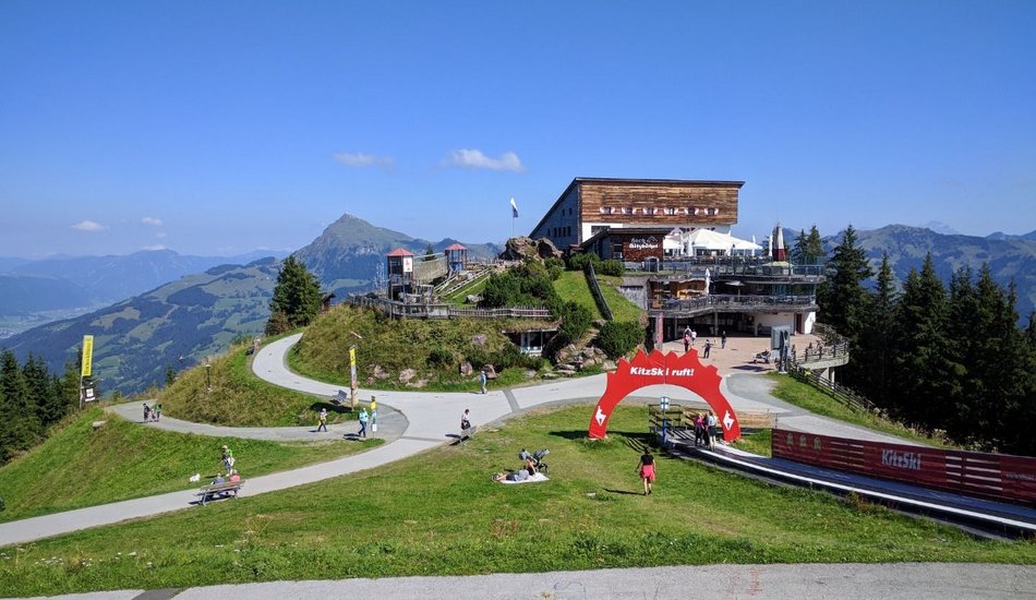
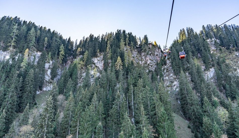
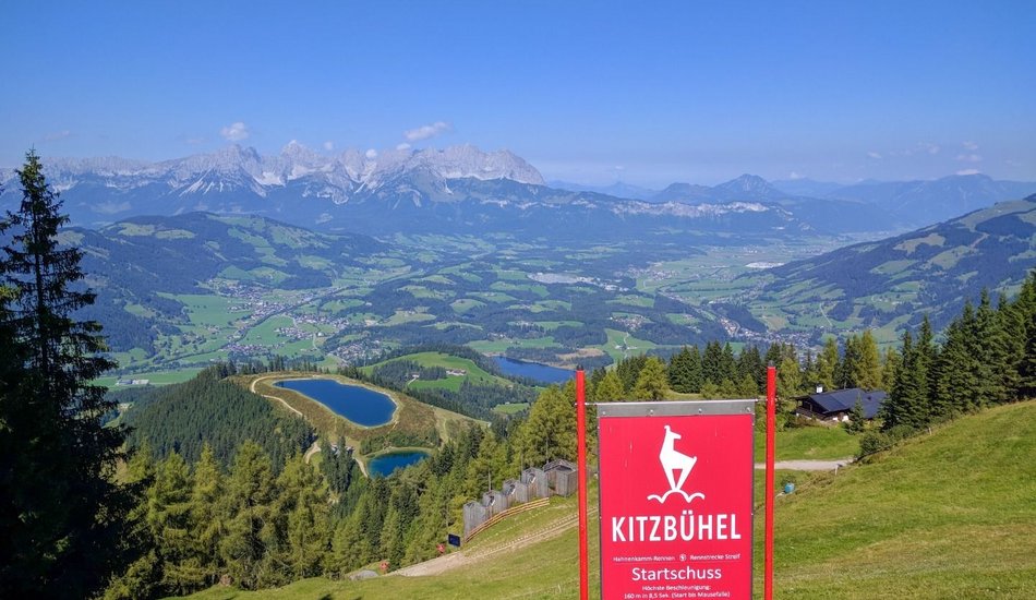
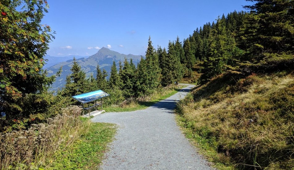
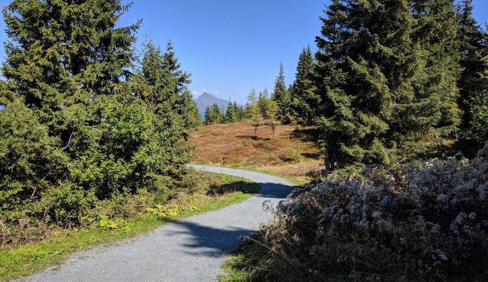
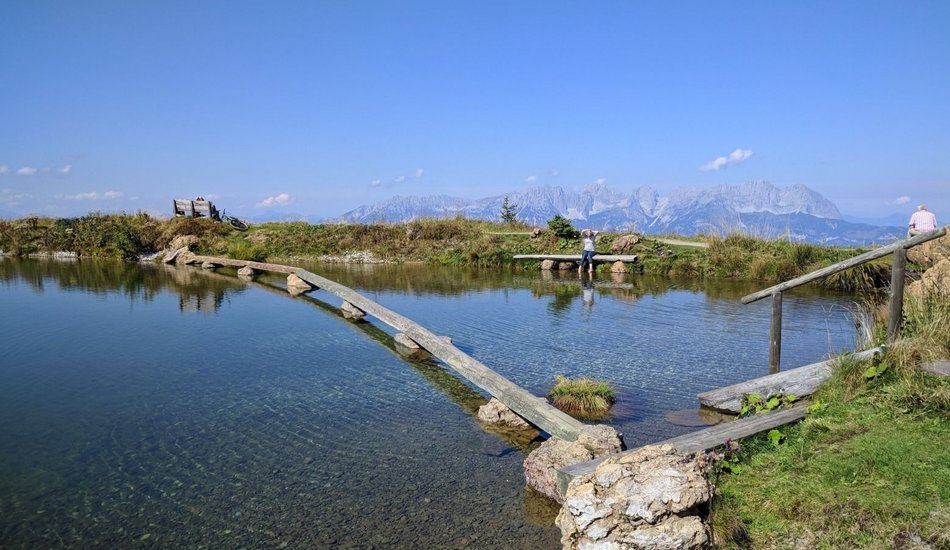
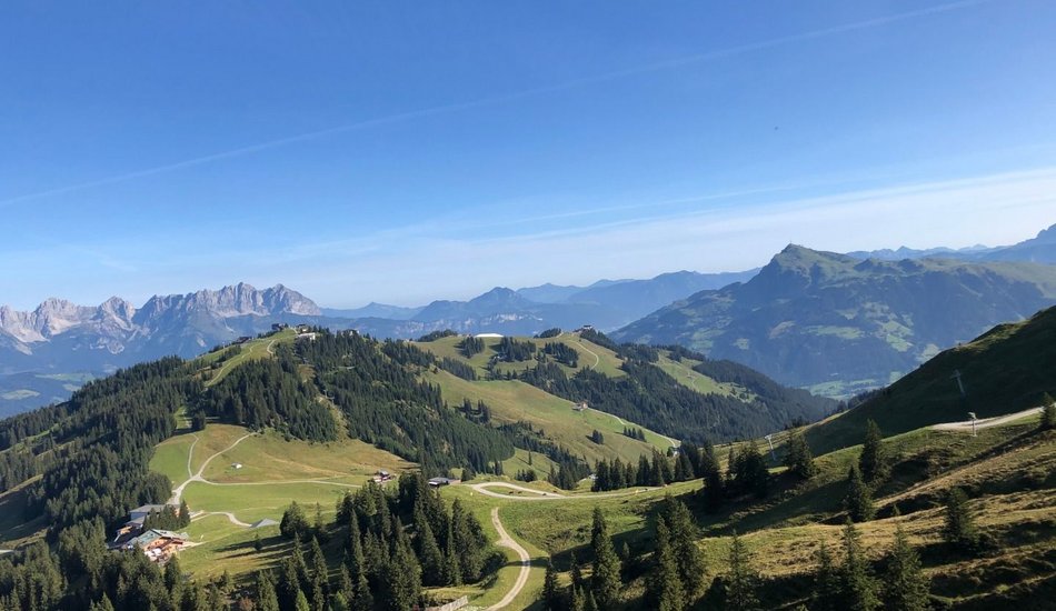
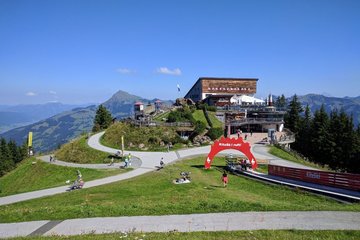
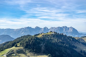
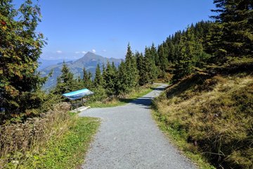
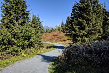
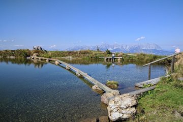
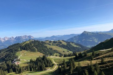
Start of the hike is the Hahnenkamm mountain station. From there, the summer experience Streif takes you in the direction of the St. Bernhard Chapel. The next vantage point of the hike is the Ehrenbachhöhesee. Passing the Hochbrunn mountain restaurant, the hike turns left onto the Steinbergkogel (1,927m). There you can enjoy the view as far as the Hohe Tauern. Via the Blaufeldalm and the Malernalm you descend again to Unteraurach. From there you can take the bus back to Kitzbühel.
Route:
Hahnenkamm Bergstation - St. Bernhard Kapelle - Hochbrunn - Jufen - Steinbergkogel - Obere Blaufeldalm - Pirchneralm - Malernalm - Unteraurach
equipment:
ankle-high, sturdy shoes, functional clothing suitable for the mountains, rain protection, sun protection, plenty of drinks, comfortable rucksack, hiking poles, snack

Events
Loading...
Up to date
Loading...
Loading...
Loading...
Accommodation
Accommodation
Loading...