Torsee
Hiking tour


Description
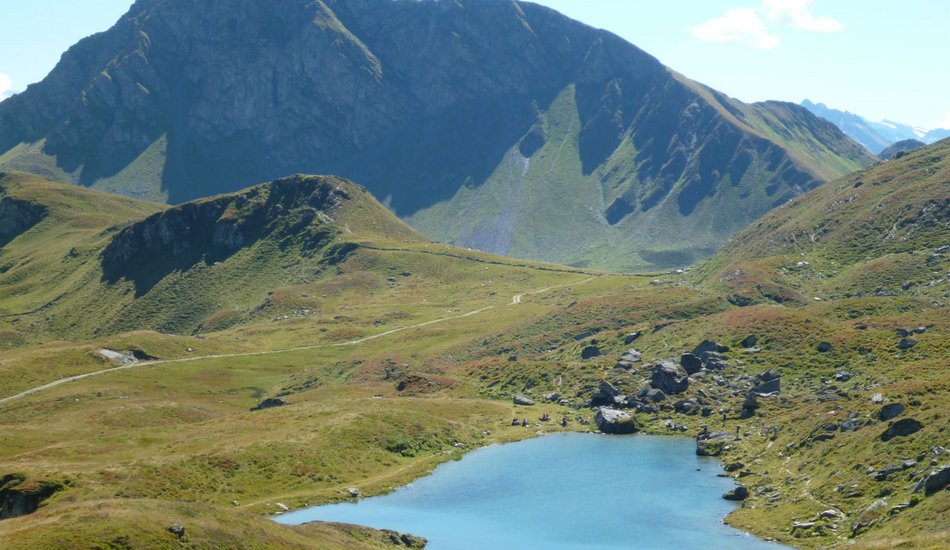
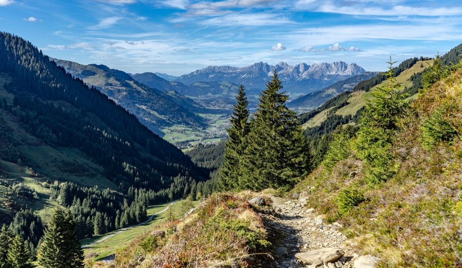
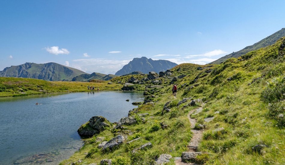
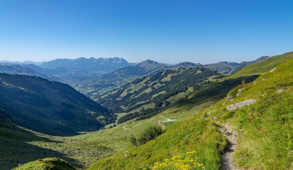
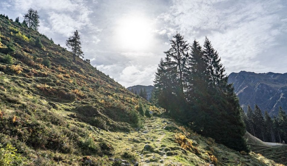
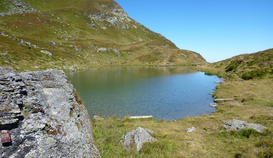
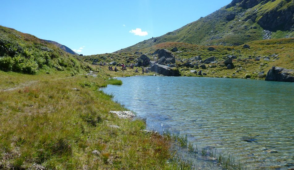
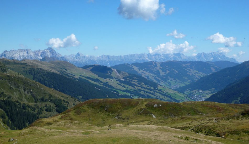
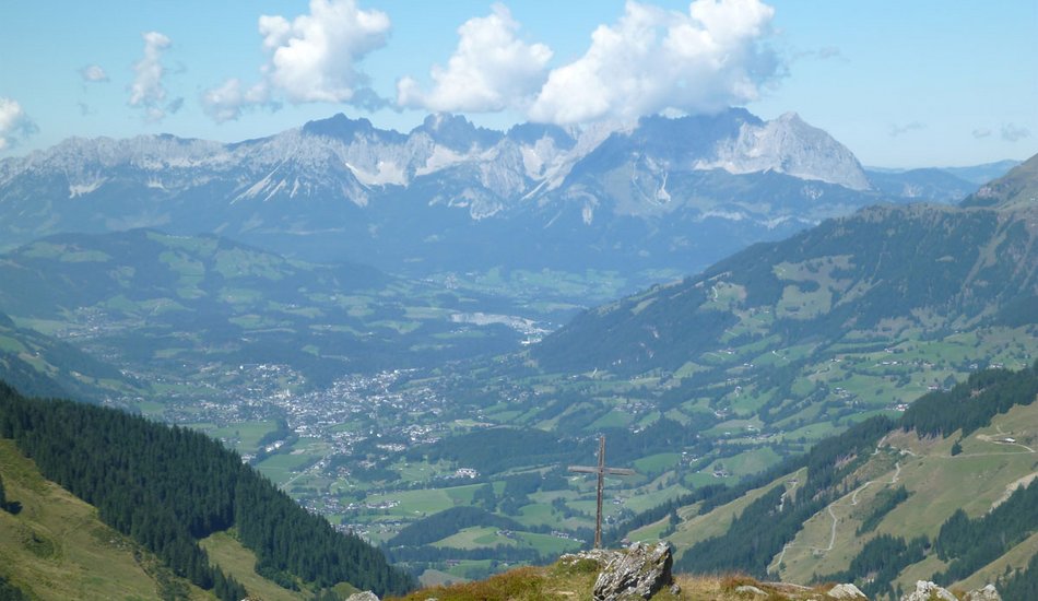
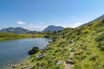
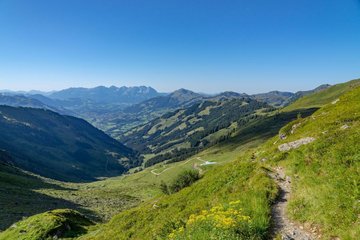
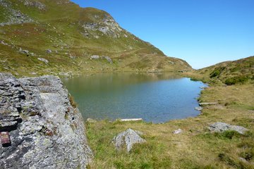
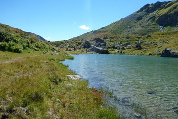
Our starting and ending point is the 'Pochwerk' stamp mill in Aurach, where we can park our car for free. For the 4-hour hike, we follow the signs from Hechenmoos towards Kelchalm. Shortly before the Kelchalm we follow the signs to Niederkaser, Oberkaseralm. The hike now leads us towards the gate. Once at the top, we briefly cross the Tyrol and Salzburg borders and hike to the Torsee. Once there, it invites you to swim in summer temperatures. The Toralm is open from July to August, take a break and have a snack. On the way back there is the option to either descend to the Niederkaseralm, or hike to the Kelchalm and stop there again before starting the way back to the Pochwerk car park or Hechenmoos.
Route:
Pochwerk - Niederkaseralm - Oberkaseralm - Tor - Toralm - Torsee - Obekaseralm - Niederkaseralm - Kelchalm - Pochwerk
equipment:
wetterbedingte Bekleidung, entsprechendes Schuhwerk

Events
Loading...
Up to date
Loading...
Loading...
Loading...
Accommodation
Accommodation
Loading...