

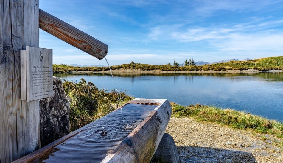
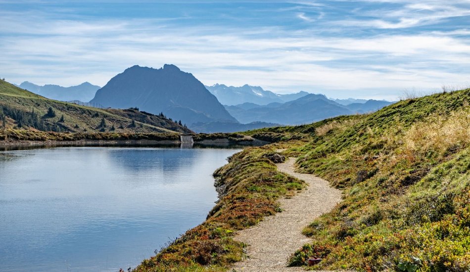
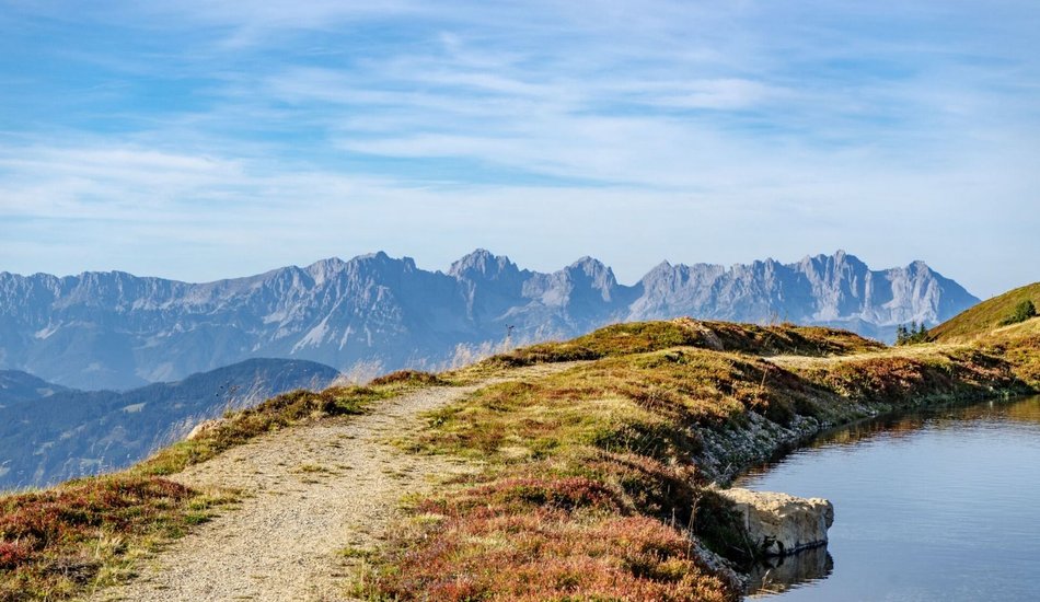
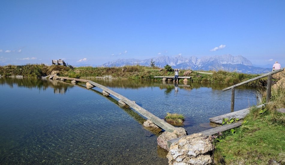
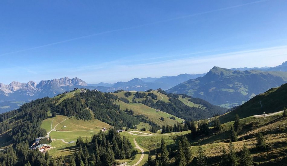
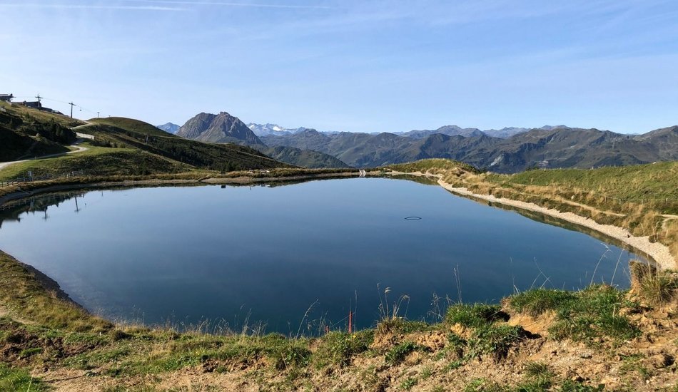
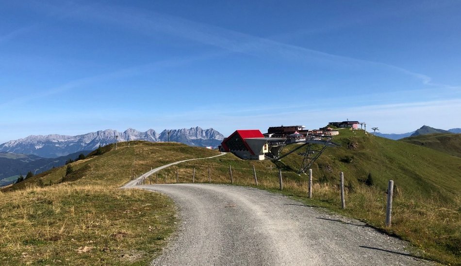
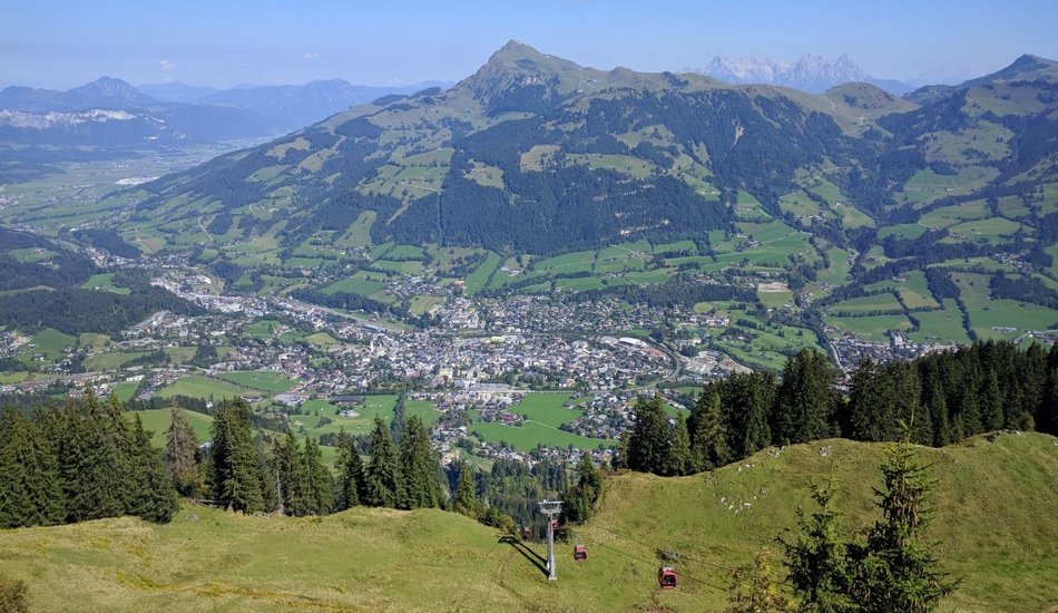
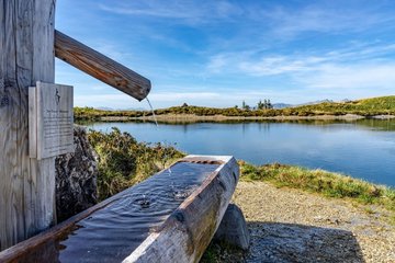
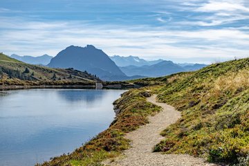
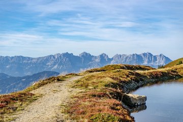
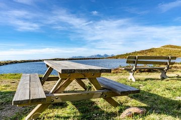
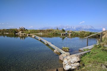
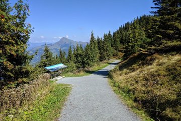
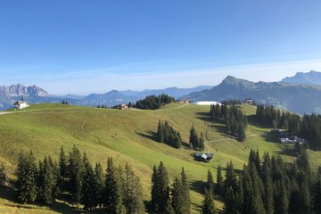
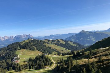
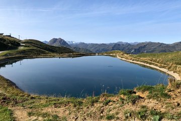
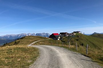
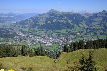
From the Hahnenkammbahn mountain station the route leads via the St. Bernhards Chapel to the Ehrenbachhöhe reservoir. Continuing along the panoramic hiking trail towards Pengelstein, you pass the Jufenalm and enjoy magnificent panoramic views from the Hohe Tauern to the Loferer Steinbergen. Then follow the Brunnsee, Pengelsteinsee and Usterkarsee whose shores invite you to linger.
Digital Hiking Pin: 4-Seen-Wanderung
Vier-Seen-Runde
Hiking tour |
... |
...
Description
The impressive panoramic hike on the traces of the element water
Route:
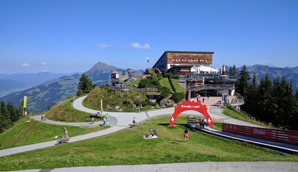
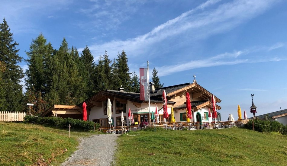
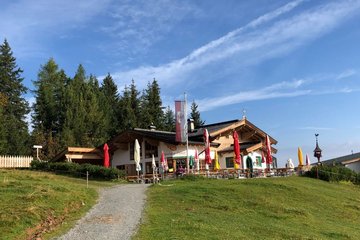
Hahnenkamm Parkplatz - Schattbergsiedlung - Hausberg - Oberhausberg - Seidlalm - Seidalm Seen - Hahnenkamm - Ehrenbachhöhe - Hochbrunn - Jufenalm - Pengelstein - Pengelsteinschenke - 3 S Bahn - Usterkarsee - Pengelsteinsee retour die gleiche Wegstrecke bis zur Hahnenkamm Bergstation
equipment:
ankle-high, sturdy shoes, functional clothing suitable for mountaineering, rain protection, sun protection, plenty of drinks, comfortable rucksack, hiking poles, snack

Events
Loading...
Up to date
Loading...
Loading...
Loading...
Accommodation
Accommodation
Loading...