

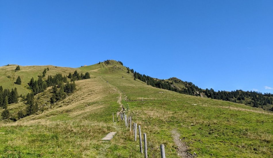
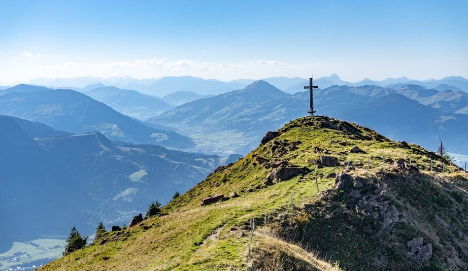
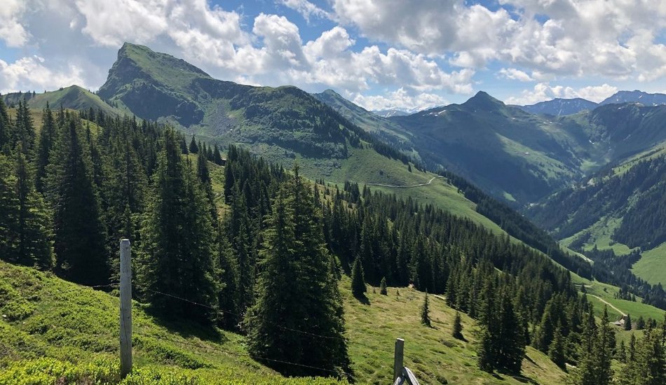
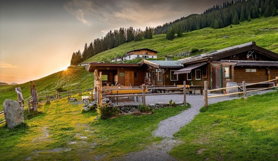
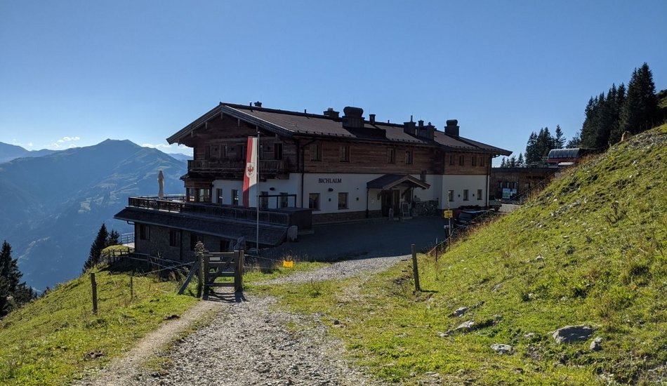
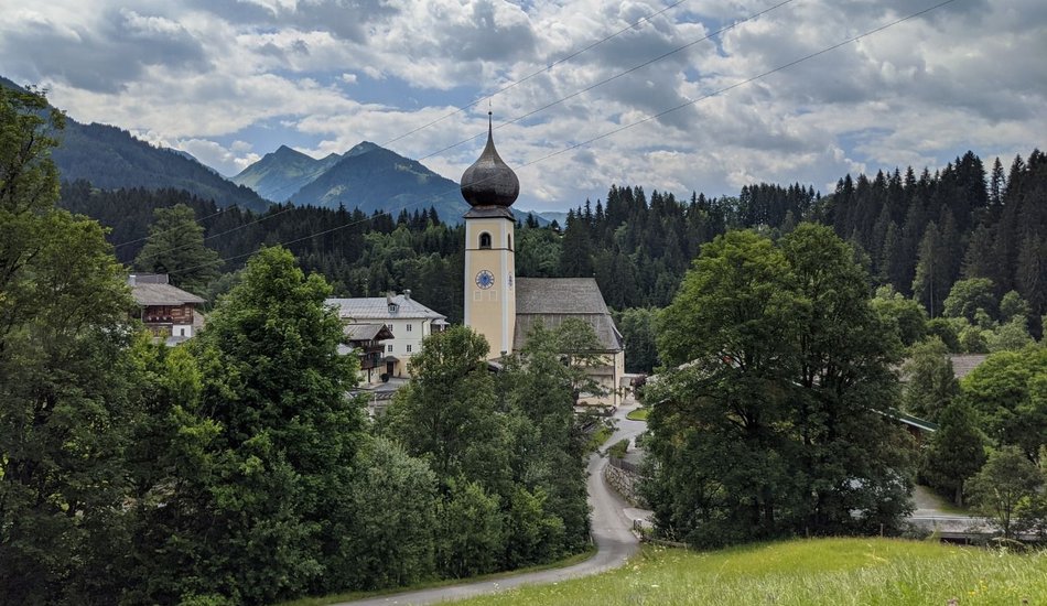
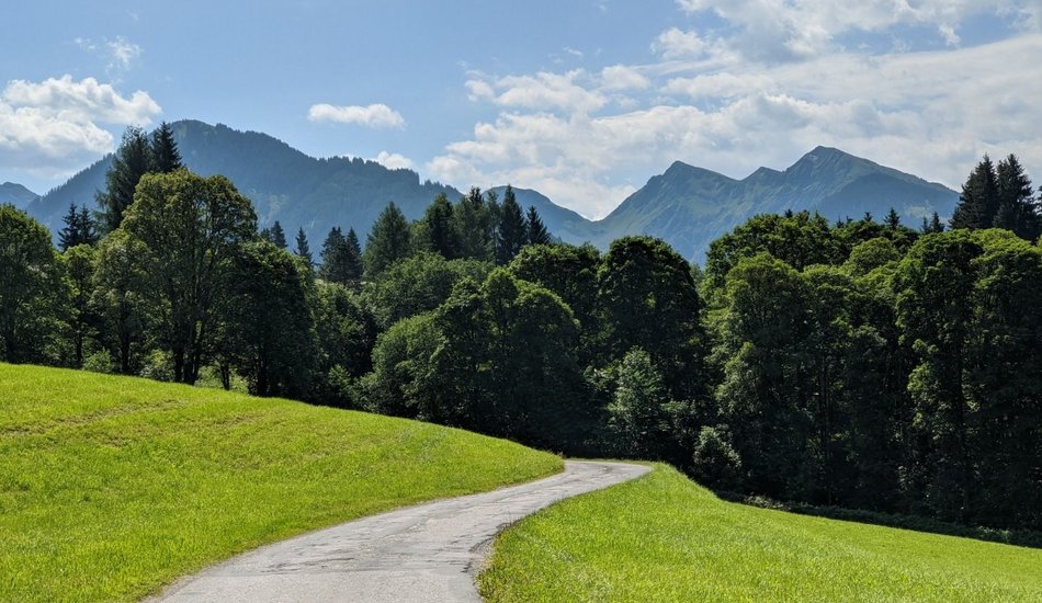
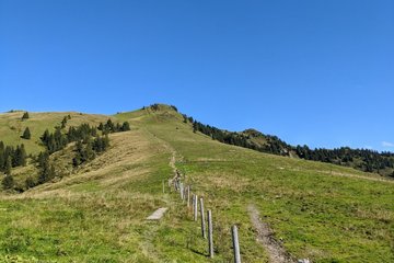
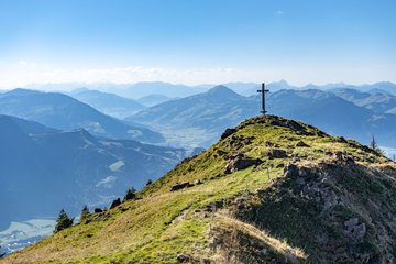
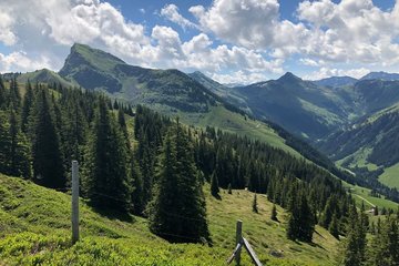
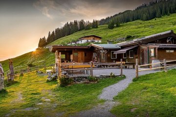
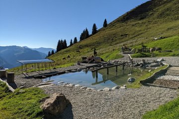
Start of the hike is the mountain station Bichlalm. Via the Hochetzkogel it continues to the Stuckkogel via the Gaisbergsattel and the Gebrajoch to the Gebra. There you can enjoy a magnificent panoramic view - all the way to the Hohe Tauern. After the summit victory, you go to the Auracher Hochwildalm for a break. Strengthened, you now head down into the valley in the direction of Aurach and over the Sonnberg and back to the valley station of the Bichlalm lift.
Bichlalm Gratwanderung
Hiking tour |
...

Description
The high altitude line hike from the Bichlalm to the Stuckkogel
Route:
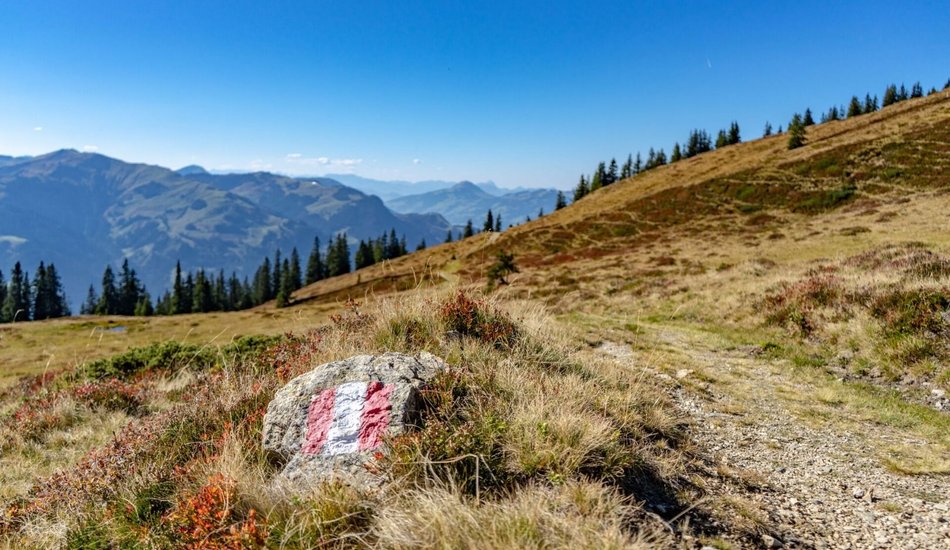
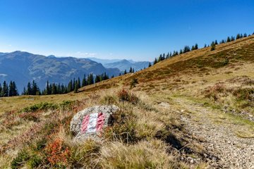
Bichlalmlift Bergstation - Hochetzkogel - Stuckkogel - Gaisbergsattl - -Gebrajoch - Gebra - Auracher Hochwildalm - Oberaurach - Sonnberg - Bichlalmlift Talstation
equipment:
Sturdy, ankle-high footwear, functional mountain clothing, waterproofs, sun protection, plenty to drink, a comfortable rucksack, hiking poles, snacks

Events
Loading...
Up to date
Loading...
Loading...
Loading...
Accommodation
Accommodation
Loading...