Karstein Nr. 39
Hiking tour


Description
.
.
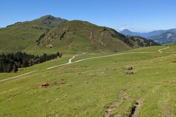
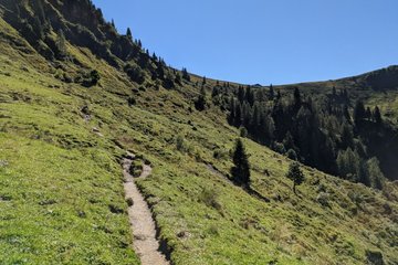
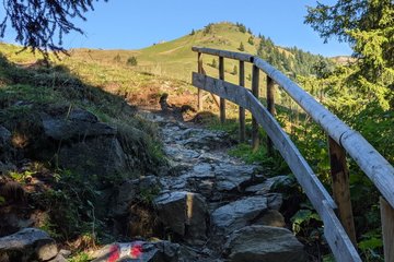
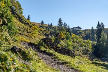
Route:
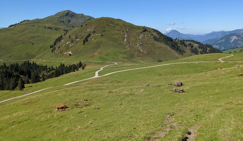
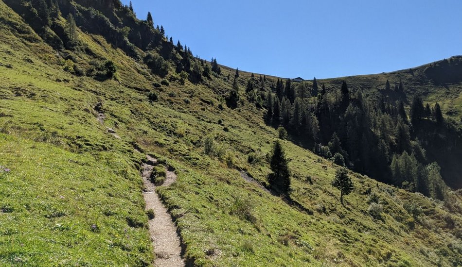
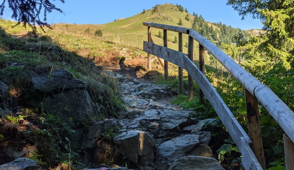
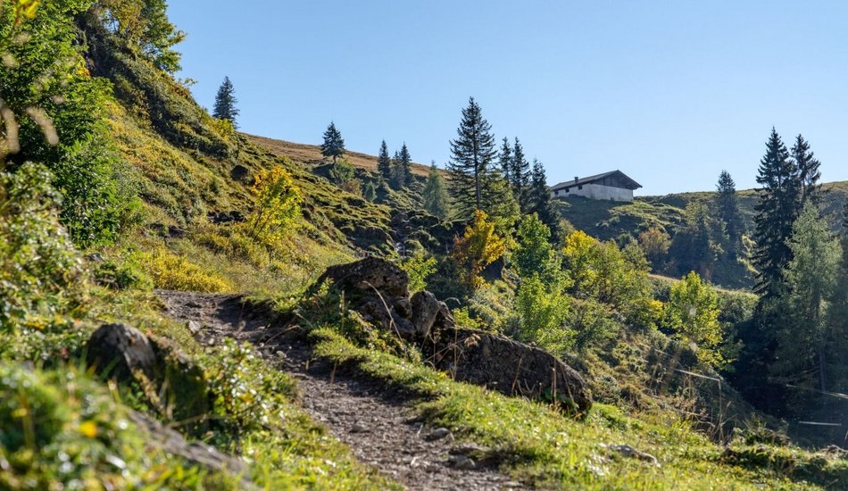
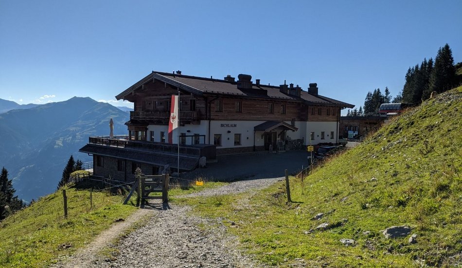
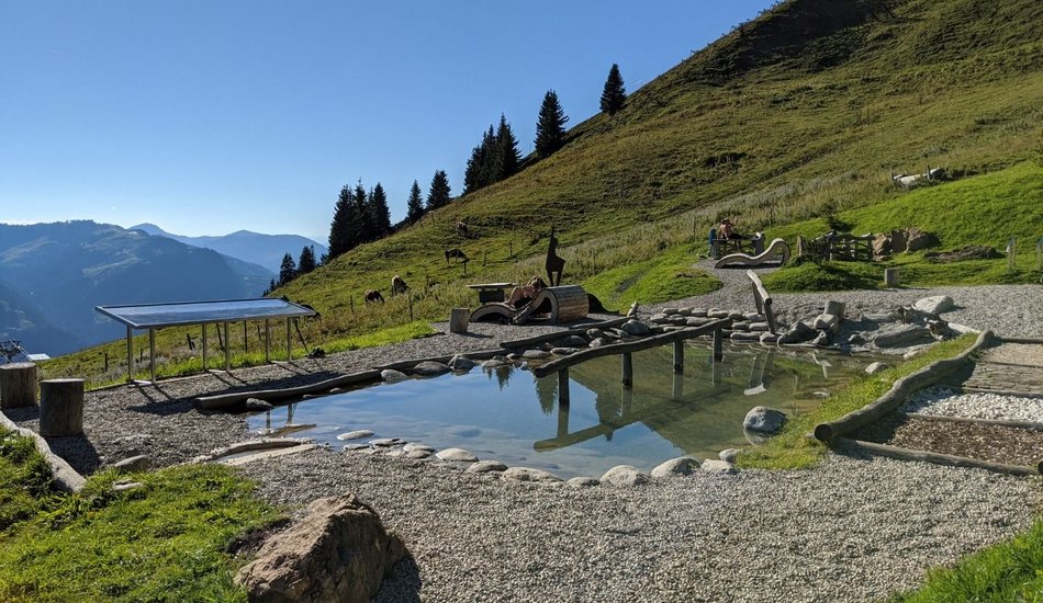
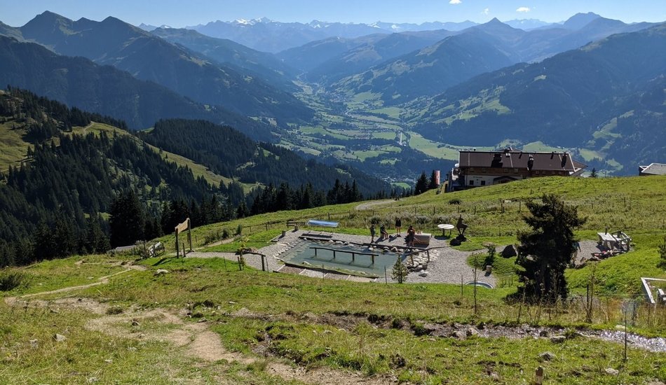
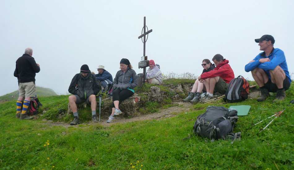
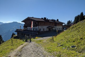
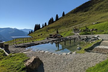
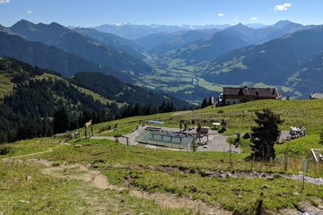
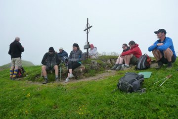
Oberaigen - Bichlalm - Lämmerbühel - Karstein
equipment:
wetterbedingte Bekleidung, passendes Schuhwerk

Events
Loading...
Up to date
Loading...
Loading...
Loading...
Accommodation
Accommodation
Loading...